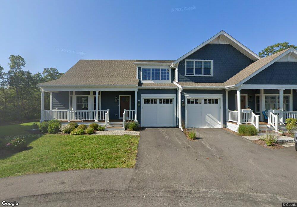
44 Atlantic Way Scituate, MA 02066
Humarock NeighborhoodEstimated Value: $954,000 - $1,130,000
3
Beds
2
Baths
1,440
Sq Ft
$721/Sq Ft
Est. Value
About This Home
This home is located at 44 Atlantic Way, Scituate, MA 02066 and is currently estimated at $1,038,439, approximately $721 per square foot. 44 Atlantic Way is a home with nearby schools including Jenkins Elementary School, Lester J. Gates Middle School, and Scituate High School.
Ownership History
Date
Name
Owned For
Owner Type
Purchase Details
Closed on
May 26, 2015
Sold by
Polcari John C and Polcari Leslie F
Bought by
Polcari Atlantic Drive and Polcari
Current Estimated Value
Create a Home Valuation Report for This Property
The Home Valuation Report is an in-depth analysis detailing your home's value as well as a comparison with similar homes in the area
Home Values in the Area
Average Home Value in this Area
Purchase History
| Date | Buyer | Sale Price | Title Company |
|---|---|---|---|
| Polcari Atlantic Drive | -- | -- | |
| Polcari Atlantic Drive | -- | -- |
Source: Public Records
Mortgage History
| Date | Status | Borrower | Loan Amount |
|---|---|---|---|
| Previous Owner | Polcari Atlantic Drive | $150,000 | |
| Previous Owner | Polcari Atlantic Drive | $65,900 |
Source: Public Records
Tax History
| Year | Tax Paid | Tax Assessment Tax Assessment Total Assessment is a certain percentage of the fair market value that is determined by local assessors to be the total taxable value of land and additions on the property. | Land | Improvement |
|---|---|---|---|---|
| 2025 | $9,780 | $979,000 | $704,200 | $274,800 |
| 2024 | $8,973 | $866,100 | $588,200 | $277,900 |
| 2023 | $7,858 | $760,400 | $503,300 | $257,100 |
| 2022 | $7,858 | $622,700 | $407,100 | $215,600 |
| 2021 | $7,717 | $578,900 | $387,800 | $191,100 |
| 2020 | $7,650 | $566,700 | $384,500 | $182,200 |
| 2019 | $8,012 | $583,100 | $411,200 | $171,900 |
| 2018 | $8,620 | $617,900 | $461,300 | $156,600 |
| 2017 | $8,626 | $612,200 | $461,300 | $150,900 |
| 2016 | $7,962 | $563,100 | $412,200 | $150,900 |
| 2015 | $7,377 | $563,100 | $412,200 | $150,900 |
Source: Public Records
Map
Nearby Homes
- 4 Summer St
- 3 Summer St
- 76 Macombers Way
- 55 Macombers Way
- 255 Ridge Rd
- 566 Holly Rd
- 480 Pleasant St
- 2 Collier Rd
- 29 Spyglass Landing Dr
- 16 Schooner Way
- 40 Driftway Unit 27
- 39 High Beacon Way
- 1155 Main St
- 32 Carolyn Cir
- 1 Valley Path
- 155 Quincy Ave
- 48 Neal Gate St
- 59 Greenfield Ln
- 38 Winthrop Dr
- 55 Crescent Ave
- 46 Atlantic Dr
- 46 Atlantic Way
- 40 Atlantic Way
- 174 Central Park Dr
- 170 Central Park Dr
- 176 Central Ave
- 168 Central Ave
- 38 Atlantic Dr
- 46
- 298 Central Ave Unit 1
- 36 Atlantic Way
- 162 Central Ave
- 162 Central Park Dr
- 180 Central Park Dr
- 32 Atlantic Dr
- 162 Central Ave(weekly Rental) Unit 1
- 162 Central Ave(winter Rental) Unit 2
- 160 Central Park Dr
- 182 Central Ave
- 158 Central Ave
Your Personal Tour Guide
Ask me questions while you tour the home.