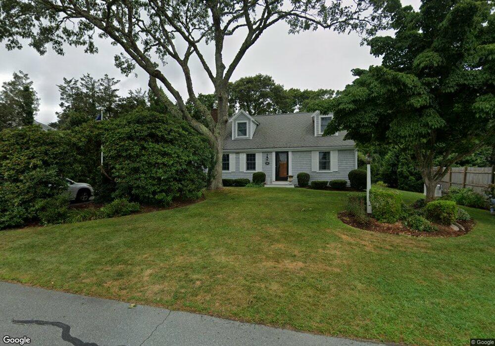
44 Bellavista Dr Pocasset, MA 02559
Pocasset NeighborhoodEstimated Value: $744,297 - $834,000
4
Beds
2
Baths
1,501
Sq Ft
$524/Sq Ft
Est. Value
About This Home
This home is located at 44 Bellavista Dr, Pocasset, MA 02559 and is currently estimated at $787,074, approximately $524 per square foot. 44 Bellavista Dr is a home located in Barnstable County with nearby schools including Bourne High School and Cadence Academy Preschool - Bourne.
Ownership History
Date
Name
Owned For
Owner Type
Purchase Details
Closed on
Oct 21, 1994
Sold by
Judge David W and Judge Elaine M
Bought by
Stevens Michael C
Current Estimated Value
Home Financials for this Owner
Home Financials are based on the most recent Mortgage that was taken out on this home.
Original Mortgage
$150,000
Interest Rate
8.49%
Mortgage Type
Purchase Money Mortgage
Create a Home Valuation Report for This Property
The Home Valuation Report is an in-depth analysis detailing your home's value as well as a comparison with similar homes in the area
Home Values in the Area
Average Home Value in this Area
Purchase History
| Date | Buyer | Sale Price | Title Company |
|---|---|---|---|
| Stevens Michael C | $158,000 | -- | |
| Stevens Michael C | $158,000 | -- | |
| Stevens Michael C | $158,000 | -- |
Source: Public Records
Mortgage History
| Date | Status | Borrower | Loan Amount |
|---|---|---|---|
| Closed | Stevens Michael C | $150,000 |
Source: Public Records
Tax History Compared to Growth
Tax History
| Year | Tax Paid | Tax Assessment Tax Assessment Total Assessment is a certain percentage of the fair market value that is determined by local assessors to be the total taxable value of land and additions on the property. | Land | Improvement |
|---|---|---|---|---|
| 2025 | $4,985 | $638,300 | $318,600 | $319,700 |
| 2024 | $4,875 | $607,800 | $303,400 | $304,400 |
| 2023 | $4,560 | $517,600 | $246,100 | $271,500 |
| 2022 | $4,373 | $433,400 | $217,800 | $215,600 |
| 2021 | $4,250 | $394,600 | $198,200 | $196,400 |
| 2020 | $4,037 | $375,900 | $196,300 | $179,600 |
| 2019 | $3,845 | $365,800 | $196,300 | $169,500 |
| 2018 | $3,673 | $348,500 | $187,000 | $161,500 |
| 2017 | $3,554 | $345,000 | $185,200 | $159,800 |
| 2016 | $3,222 | $317,100 | $162,800 | $154,300 |
| 2015 | $3,193 | $317,100 | $162,800 | $154,300 |
Source: Public Records
Map
Nearby Homes
- 171 Bellavista Dr
- 34 Kenwood Rd
- 45 Kenwood Rd
- 22 Nairn Rd
- 70 Wings Neck Rd
- 254 Barlows Landing Rd
- 24 Richmond Rd
- 14 Navajo Rd
- 48 Red Brook Harbor Rd
- 940 County Rd
- 3 Red Brook Pond Dr
- 89 Harbor Dr
- 709 County Rd
- 1094 County Rd
- 940 County Rd
- 174 Barlows Landing Rd
- 7 4th Ave
- 15 1st St
- 39 Bennets Neck Dr
- 50 Bellavista Dr
- 40 Bellavista Dr
- 15 Virginia Rd
- 47 Bellavista Dr
- 43 Bellavista Dr
- 38 Bellavista Dr
- 52 Bellavista Dr
- 6 Andrea Rd
- 4 Andrea Rd
- 51 Bellavista Dr
- 41 Bellavista Dr
- 17 Virginia Rd
- 55 Bellavista Dr
- 58 Bellavista Dr
- 5 Virginia Rd
- 18 Island Dr
- 16 Island Dr
- 8 Andrea Rd
- 8 Andrea Rd
- 20 Island Dr