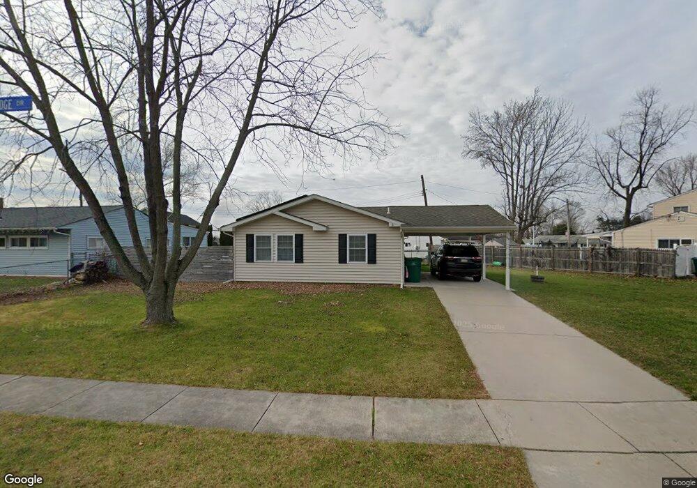
44 Blue Ridge Dr Levittown, PA 19057
Estimated Value: $338,000 - $368,000
3
Beds
2
Baths
1,084
Sq Ft
$324/Sq Ft
Est. Value
About This Home
This home is located at 44 Blue Ridge Dr, Levittown, PA 19057 and is currently estimated at $351,254, approximately $324 per square foot. 44 Blue Ridge Dr is a home located in Bucks County with nearby schools including Truman Senior High School, First Presbyterian Church School, and Emilie Christian Day School.
Ownership History
Date
Name
Owned For
Owner Type
Purchase Details
Closed on
Sep 2, 2011
Sold by
Rumsey 258 Enterprises Inc
Bought by
Hill Joshua P
Current Estimated Value
Home Financials for this Owner
Home Financials are based on the most recent Mortgage that was taken out on this home.
Original Mortgage
$201,644
Outstanding Balance
$138,874
Interest Rate
4.38%
Mortgage Type
VA
Estimated Equity
$212,380
Purchase Details
Closed on
Oct 14, 2010
Sold by
Herzek Lorraine B
Bought by
Rumsey 258 Enterprises Inc
Create a Home Valuation Report for This Property
The Home Valuation Report is an in-depth analysis detailing your home's value as well as a comparison with similar homes in the area
Home Values in the Area
Average Home Value in this Area
Purchase History
| Date | Buyer | Sale Price | Title Company |
|---|---|---|---|
| Hill Joshua P | $197,400 | None Available | |
| Rumsey 258 Enterprises Inc | $97,000 | None Available |
Source: Public Records
Mortgage History
| Date | Status | Borrower | Loan Amount |
|---|---|---|---|
| Open | Hill Joshua P | $201,644 |
Source: Public Records
Tax History Compared to Growth
Tax History
| Year | Tax Paid | Tax Assessment Tax Assessment Total Assessment is a certain percentage of the fair market value that is determined by local assessors to be the total taxable value of land and additions on the property. | Land | Improvement |
|---|---|---|---|---|
| 2025 | $4,780 | $17,600 | $5,600 | $12,000 |
| 2024 | $4,780 | $17,600 | $5,600 | $12,000 |
| 2023 | $4,744 | $17,600 | $5,600 | $12,000 |
| 2022 | $4,744 | $17,600 | $5,600 | $12,000 |
| 2021 | $4,744 | $17,600 | $5,600 | $12,000 |
| 2020 | $4,744 | $17,600 | $5,600 | $12,000 |
| 2019 | $4,727 | $17,600 | $5,600 | $12,000 |
| 2018 | $4,651 | $17,600 | $5,600 | $12,000 |
| 2017 | $4,580 | $17,600 | $5,600 | $12,000 |
| 2016 | $4,580 | $17,600 | $5,600 | $12,000 |
| 2015 | $3,278 | $17,600 | $5,600 | $12,000 |
| 2014 | $3,278 | $17,600 | $5,600 | $12,000 |
Source: Public Records
Map
Nearby Homes
- 101 Idlewild Rd
- 1019 Green Ln
- 86 Wildflower Rd
- 84 Whitewood Dr
- 62 Indian Creek Dr
- 212 Plumbridge Dr
- 246 Colette Ct
- 50 Micahill Rd
- 35 Inland Rd
- 150 Naomi Ct Unit 811
- 57 Middle Rd
- 23 Misty Pine Rd
- 35 Parkside Cir
- 331 Indian Creek Dr
- 24 Grapevine Rd
- 58 Queen Lily Rd
- 14 Iris Rd
- 57 Island Rd
- 47 Plumbridge Dr
- 16 Iris Rd
- 50 Blue Ridge Dr
- 38 Blue Ridge Dr
- 64 Basswood Rd
- 54 Blue Ridge Dr
- 60 Basswood Rd
- 51 Blue Ridge Dr
- 58 Blue Ridge Dr
- 58 Basswood Rd
- 32 Blue Ridge Dr
- 73 Basswood Rd
- 55 Blue Ridge Dr
- 69 Basswood Rd
- 67 Basswood Rd
- 62 Blue Ridge Dr
- 65 Basswood Rd
- 56 Basswood Rd
- 61 Basswood Rd
- 392 Blue Ridge Dr
- 26 Blue Ridge Dr
- 120 Border Rock Rd