44 Blueberry Point Raymond, ME 04071
Estimated Value: $1,008,000 - $1,427,000
3
Beds
2
Baths
1,380
Sq Ft
$857/Sq Ft
Est. Value
About This Home
This home is located at 44 Blueberry Point, Raymond, ME 04071 and is currently estimated at $1,183,086, approximately $857 per square foot. 44 Blueberry Point is a home located in Cumberland County with nearby schools including Raymond Elementary School, Jordan-Small Middle School, and Windham High School.
Ownership History
Date
Name
Owned For
Owner Type
Purchase Details
Closed on
Apr 8, 2021
Sold by
Macdonald Peter P
Bought by
Macdonald Peter P and Macdonald Anne
Current Estimated Value
Home Financials for this Owner
Home Financials are based on the most recent Mortgage that was taken out on this home.
Original Mortgage
$405,000
Outstanding Balance
$365,076
Interest Rate
2.9%
Mortgage Type
Purchase Money Mortgage
Estimated Equity
$818,010
Create a Home Valuation Report for This Property
The Home Valuation Report is an in-depth analysis detailing your home's value as well as a comparison with similar homes in the area
Home Values in the Area
Average Home Value in this Area
Purchase History
| Date | Buyer | Sale Price | Title Company |
|---|---|---|---|
| Macdonald Peter P | -- | None Available |
Source: Public Records
Mortgage History
| Date | Status | Borrower | Loan Amount |
|---|---|---|---|
| Open | Macdonald Peter P | $405,000 |
Source: Public Records
Tax History Compared to Growth
Tax History
| Year | Tax Paid | Tax Assessment Tax Assessment Total Assessment is a certain percentage of the fair market value that is determined by local assessors to be the total taxable value of land and additions on the property. | Land | Improvement |
|---|---|---|---|---|
| 2024 | $10,437 | $606,800 | $480,900 | $125,900 |
| 2023 | $9,648 | $606,800 | $480,900 | $125,900 |
| 2022 | $9,102 | $606,800 | $480,900 | $125,900 |
| 2021 | $8,556 | $606,800 | $480,900 | $125,900 |
| 2019 | $2,731 | $606,800 | $480,900 | $125,900 |
| 2018 | $2,268 | $606,800 | $480,900 | $125,900 |
| 2017 | $7,464 | $606,800 | $480,900 | $125,900 |
| 2016 | $2,401 | $606,800 | $480,900 | $125,900 |
| 2015 | $7,251 | $606,800 | $480,900 | $125,900 |
| 2014 | $7,160 | $606,800 | $480,900 | $125,900 |
| 2013 | $6,827 | $606,800 | $480,900 | $125,900 |
Source: Public Records
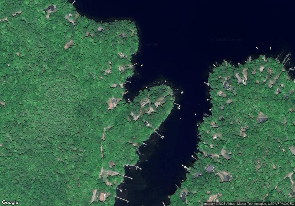
Map
Nearby Homes
- 17 Blueberry Point Rd
- 7 Papoose Island Rd
- 7 Wild Acres Rd
- 361 Cape Rd
- 59 Wild Acres Rd
- 12 Hillside Dr
- 46 Windward Shore Rd
- 79 Whites Point Rd
- 72 Sand Beach Rd
- 1042 Roosevelt Trail
- 89 Shaw Rd
- 194 Hearthside Rd
- 41 Shaw Acres Rd
- 1083 Roosevelt Trail
- 11 Clover Ln
- 99 Enterprise Dr
- 1 Pine Ln
- 16 Peterson Rd
- lot #8 Bedrock Terrace
- 24 Hillside Dr
- 42 Blueberry Point
- 39 Blueberry Point
- 38 Blueberry Point
- 34 Blueberry Point Rd
- 34 Blueberry Point
- 53 Stark Cove Rd
- 55 Stark Cove Rd
- 58 Whittemore Cove Rd
- 60 Whittemore Cove Rd
- 56 Whittemore Cove Rd
- 62 Whittemore Cove Rd
- 66 Whittemore Cove Rd
- 64 Whittemore Cove Rd
- 45 Whittemore Cove Rd
- 68 Whittemore Cove Rd
- 52 Whittemore Cove Rd
- 25 Blueberry Point
- 59 Stark Cove Rd
- 50 Whittemore Cove Rd
- 23 Blueberry Point