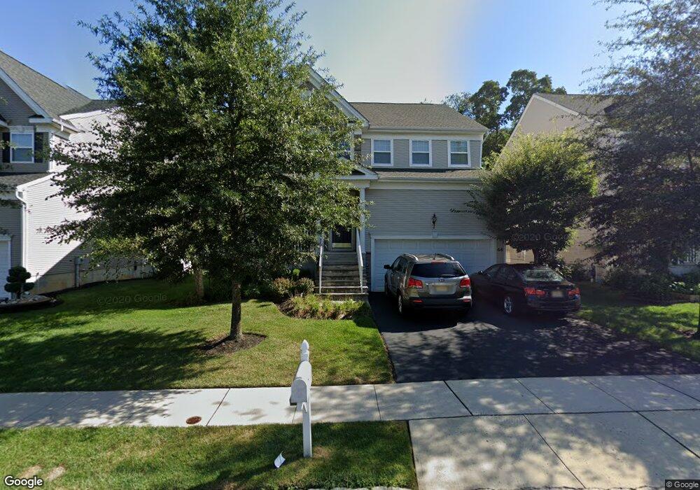
44 Bristol Rd Manalapan, NJ 07726
Estimated Value: $973,000 - $1,087,000
--
Bed
--
Bath
2,438
Sq Ft
$415/Sq Ft
Est. Value
About This Home
This home is located at 44 Bristol Rd, Manalapan, NJ 07726 and is currently estimated at $1,011,176, approximately $414 per square foot. 44 Bristol Rd is a home with nearby schools including Wemrock Brook School, Manalapan-Englishtown Middle School, and Pine Brook Elementary School.
Ownership History
Date
Name
Owned For
Owner Type
Purchase Details
Closed on
Oct 26, 2011
Sold by
K Hovananian At Manalapan Iii L L C
Bought by
Casanova Redentor J and Casanova Maria Christina
Current Estimated Value
Home Financials for this Owner
Home Financials are based on the most recent Mortgage that was taken out on this home.
Original Mortgage
$402,500
Outstanding Balance
$275,260
Interest Rate
4.08%
Mortgage Type
New Conventional
Estimated Equity
$735,916
Purchase Details
Closed on
Apr 25, 2011
Sold by
Hearthstone Multi Asset Entity A L P
Bought by
K Hovnanian At Manalapan Iii L L C
Create a Home Valuation Report for This Property
The Home Valuation Report is an in-depth analysis detailing your home's value as well as a comparison with similar homes in the area
Home Values in the Area
Average Home Value in this Area
Purchase History
| Date | Buyer | Sale Price | Title Company |
|---|---|---|---|
| Casanova Redentor J | $503,187 | Eastern Title Agency Inc | |
| K Hovnanian At Manalapan Iii L L C | $157,500 | Eastern Title Agency Inc |
Source: Public Records
Mortgage History
| Date | Status | Borrower | Loan Amount |
|---|---|---|---|
| Open | Casanova Redentor J | $402,500 |
Source: Public Records
Tax History Compared to Growth
Tax History
| Year | Tax Paid | Tax Assessment Tax Assessment Total Assessment is a certain percentage of the fair market value that is determined by local assessors to be the total taxable value of land and additions on the property. | Land | Improvement |
|---|---|---|---|---|
| 2025 | $13,642 | $842,900 | $326,000 | $516,900 |
| 2024 | $13,241 | $808,200 | $296,000 | $512,200 |
| 2023 | $13,241 | $796,200 | $296,000 | $500,200 |
| 2022 | $12,786 | $729,300 | $246,000 | $483,300 |
| 2021 | $12,786 | $615,600 | $181,000 | $434,600 |
| 2020 | $12,214 | $592,900 | $156,000 | $436,900 |
| 2019 | $12,120 | $587,500 | $156,000 | $431,500 |
| 2018 | $11,871 | $571,800 | $156,000 | $415,800 |
| 2017 | $11,356 | $547,300 | $146,000 | $401,300 |
| 2016 | $11,221 | $546,300 | $146,000 | $400,300 |
| 2015 | $11,127 | $536,000 | $146,000 | $390,000 |
| 2014 | $10,610 | $498,100 | $146,000 | $352,100 |
Source: Public Records
Map
Nearby Homes
- 12 Millhurst Rd
- 15 W Parsonage Way
- 1213 Auburn Terrace Unit 1203
- 1212 Auburn Terrace Unit 1202
- 1214 Auburn Terrace Unit 1204
- 1213 Auburn Terrace
- 1212 Auburn Terrace
- 2013 Wander Ln Unit 2003
- 2014 Wander Ln Unit 2004
- 2011 Wander Ln Unit 2001
- 2013 Wander Ln
- 01 Private St
- 10 Hedgerow Ln
- 55 Wintergreen Dr
- 72 Wintergreen Dr
- 28 Shoemaker Rd
- 100 Hedgerow Ln
- 40 Riva Ridge Rd
- 400 Main St
- 53 McCaffery Rd