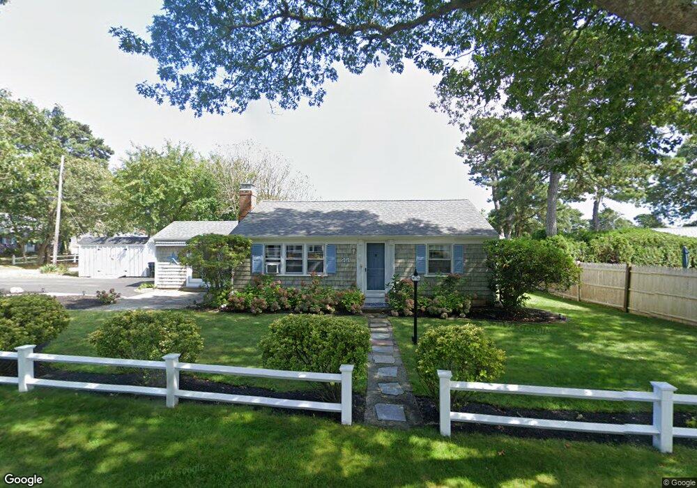
44 Captain Chase Rd Dennis Port, MA 02639
Dennis Port NeighborhoodEstimated Value: $597,000 - $629,694
3
Beds
2
Baths
1,204
Sq Ft
$511/Sq Ft
Est. Value
About This Home
This home is located at 44 Captain Chase Rd, Dennis Port, MA 02639 and is currently estimated at $614,924, approximately $510 per square foot. 44 Captain Chase Rd is a home located in Barnstable County with nearby schools including Dennis-Yarmouth Regional High School and St. Pius X. School.
Ownership History
Date
Name
Owned For
Owner Type
Purchase Details
Closed on
Nov 2, 2007
Sold by
Shuman Audrey F
Bought by
Poulin Matthew G
Current Estimated Value
Home Financials for this Owner
Home Financials are based on the most recent Mortgage that was taken out on this home.
Original Mortgage
$252,000
Outstanding Balance
$159,854
Interest Rate
6.43%
Mortgage Type
Purchase Money Mortgage
Estimated Equity
$455,070
Create a Home Valuation Report for This Property
The Home Valuation Report is an in-depth analysis detailing your home's value as well as a comparison with similar homes in the area
Home Values in the Area
Average Home Value in this Area
Purchase History
| Date | Buyer | Sale Price | Title Company |
|---|---|---|---|
| Poulin Matthew G | $315,000 | -- |
Source: Public Records
Mortgage History
| Date | Status | Borrower | Loan Amount |
|---|---|---|---|
| Open | Poulin Matthew G | $252,000 |
Source: Public Records
Tax History Compared to Growth
Tax History
| Year | Tax Paid | Tax Assessment Tax Assessment Total Assessment is a certain percentage of the fair market value that is determined by local assessors to be the total taxable value of land and additions on the property. | Land | Improvement |
|---|---|---|---|---|
| 2025 | $2,168 | $500,600 | $198,700 | $301,900 |
| 2024 | $2,094 | $477,000 | $191,100 | $285,900 |
| 2023 | $2,025 | $433,700 | $173,700 | $260,000 |
| 2022 | $1,942 | $346,800 | $156,500 | $190,300 |
| 2021 | $2,016 | $334,300 | $175,400 | $158,900 |
| 2020 | $1,815 | $297,500 | $153,400 | $144,100 |
| 2019 | $1,718 | $278,400 | $150,400 | $128,000 |
| 2018 | $1,658 | $261,500 | $143,200 | $118,300 |
| 2017 | $1,585 | $257,700 | $133,000 | $124,700 |
| 2016 | $1,615 | $247,300 | $143,200 | $104,100 |
| 2015 | $1,583 | $247,300 | $143,200 | $104,100 |
| 2014 | $1,441 | $226,900 | $122,800 | $104,100 |
Source: Public Records
Map
Nearby Homes
- 18 Holiday Ln
- 72 Bassett Ln
- 80 Michaels Ave
- 4 Coffey Ln
- 125 Main St Unit 3
- 268 Main St
- 71 Main St
- 104 Toms Path
- 104 Toms Path
- 22 Ferncliff Rd
- 37 Beach Hills Rd
- 37-A Beach Hills Rd
- 262 Old Wharf Rd Unit 67
- 262 Old Wharf Rd Unit 5
- 262 Old Wharf Rd Unit 5
- 262 Old Wharf Rd Unit 87
- 37 Ocean Dr Unit 2
- 64 Beaten Rd
- 102 Sea St
- 241 Old Wharf Rd Unit 82
- 3 Quartermaster Row
- 4 3rd Mate Row
- 46 Captain Chase Rd
- 5 Quartermaster Row
- 8 3rd Mate Row
- 43 Captain Chase Rd
- 39 Captain Chase Rd
- 2 Quartermaster Row
- 45 Captain Chase Rd
- 35 Captain Chase Rd
- 6 Quartermaster Row
- 9 Quartermaster Row
- 49 Lorree Ln
- 49 Captain Chase Rd
- 10 Quartermaster Row
- 31 Captain Chase Rd
- 54 Captain Chase Rd
- 3 Marks End
- 3 3rd Mate Row
- 5 Marks End