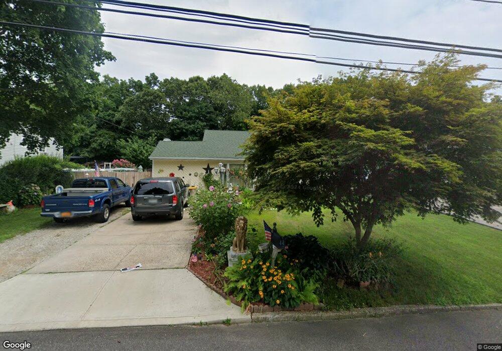
44 Champlain St Port Jefferson Station, NY 11776
Estimated Value: $559,000 - $571,000
4
Beds
2
Baths
1,404
Sq Ft
$403/Sq Ft
Est. Value
About This Home
This home is located at 44 Champlain St, Port Jefferson Station, NY 11776 and is currently estimated at $565,333, approximately $402 per square foot. 44 Champlain St is a home located in Suffolk County with nearby schools including John F Kennedy Middle School and Comsewogue High School.
Ownership History
Date
Name
Owned For
Owner Type
Purchase Details
Closed on
May 29, 2003
Sold by
Soto Wenceslago and Fabian Martha
Bought by
Fabian Martha
Current Estimated Value
Purchase Details
Closed on
Apr 16, 1997
Sold by
Citibank Na
Bought by
Soto Wenceslago and Fabian Martha
Purchase Details
Closed on
Aug 17, 1990
Sold by
Kohrumel David and Kohrumel Jean
Bought by
Rodrigues Arthur and Rodrigues Marie Natalia
Create a Home Valuation Report for This Property
The Home Valuation Report is an in-depth analysis detailing your home's value as well as a comparison with similar homes in the area
Home Values in the Area
Average Home Value in this Area
Purchase History
| Date | Buyer | Sale Price | Title Company |
|---|---|---|---|
| Fabian Martha | -- | Titlewave | |
| Soto Wenceslago | $98,000 | Commonwealth Land Title Ins | |
| Rodrigues Arthur | $124,000 | First American Title Ins Co |
Source: Public Records
Tax History Compared to Growth
Tax History
| Year | Tax Paid | Tax Assessment Tax Assessment Total Assessment is a certain percentage of the fair market value that is determined by local assessors to be the total taxable value of land and additions on the property. | Land | Improvement |
|---|---|---|---|---|
| 2024 | $8,011 | $2,050 | $150 | $1,900 |
| 2023 | $8,011 | $2,050 | $150 | $1,900 |
| 2022 | $7,000 | $2,050 | $150 | $1,900 |
| 2021 | $7,000 | $2,050 | $150 | $1,900 |
| 2020 | $7,190 | $2,050 | $150 | $1,900 |
| 2019 | $7,190 | $0 | $0 | $0 |
| 2018 | $6,837 | $2,050 | $150 | $1,900 |
| 2017 | $6,837 | $2,050 | $150 | $1,900 |
| 2016 | $6,781 | $2,050 | $150 | $1,900 |
| 2015 | -- | $2,050 | $150 | $1,900 |
| 2014 | -- | $2,050 | $150 | $1,900 |
Source: Public Records
Map
Nearby Homes
- 58A Superior St
- 484 Bicycle Path
- 1 Dillon Ave
- 27 Parkridge Cir
- 110 Clinton Ave
- 132 Clinton Ave
- 20 Revere Cir
- 5 Lincoln St
- 138 Greene Ave
- 1506 Nicole Dr
- 10 Orchid Dr
- 1704 Nicole Dr
- 1405 Constance Ln
- 507 Constance Ln
- 6 13th St
- 903 Constance Ln
- 10 Woodbine St
- 27 Wilmont Turn
- 122 Stuyvesant Dr
- 10 Welbourn Ln