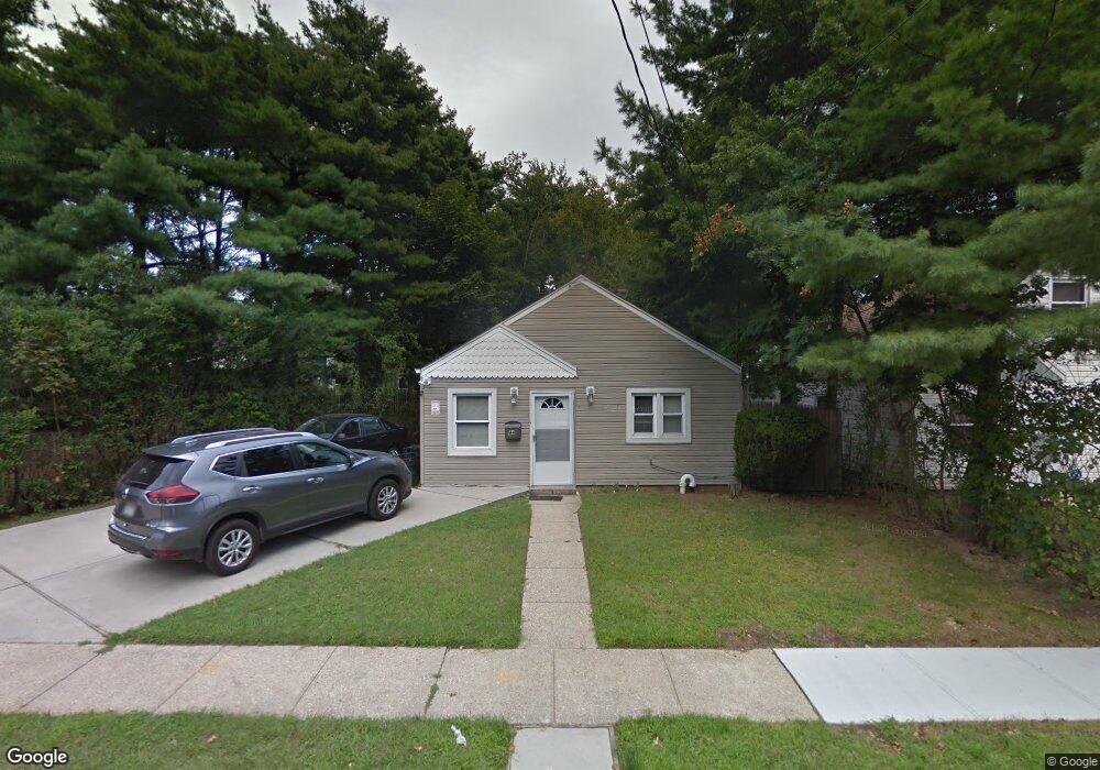
44 Commander Ave Hempstead, NY 11550
Estimated Value: $392,559 - $426,000
2
Beds
1
Bath
720
Sq Ft
$568/Sq Ft
Est. Value
About This Home
This home is located at 44 Commander Ave, Hempstead, NY 11550 and is currently estimated at $409,280, approximately $568 per square foot. 44 Commander Ave is a home located in Nassau County with nearby schools including Uniondale Elementary School, The Academy Charter School, and Hebrew Academy of Nassau County Middle School and Brookdale High School.
Ownership History
Date
Name
Owned For
Owner Type
Purchase Details
Closed on
Mar 18, 2011
Sold by
Brenner Sean
Bought by
44 Commander Llc
Current Estimated Value
Purchase Details
Closed on
Sep 3, 2010
Sold by
44 Commander Llc
Bought by
Brenner Sean
Purchase Details
Closed on
Apr 10, 2006
Sold by
Holmes Kimberly
Bought by
Brenner Sean
Purchase Details
Closed on
Jul 15, 2005
Sold by
Stephens Peter
Bought by
Palmer Holmes Kimberly
Create a Home Valuation Report for This Property
The Home Valuation Report is an in-depth analysis detailing your home's value as well as a comparison with similar homes in the area
Home Values in the Area
Average Home Value in this Area
Purchase History
| Date | Buyer | Sale Price | Title Company |
|---|---|---|---|
| 44 Commander Llc | -- | -- | |
| Brenner Sean | -- | -- | |
| Brenner Sean | $240,000 | -- | |
| Palmer Holmes Kimberly | $182,000 | -- |
Source: Public Records
Tax History
| Year | Tax Paid | Tax Assessment Tax Assessment Total Assessment is a certain percentage of the fair market value that is determined by local assessors to be the total taxable value of land and additions on the property. | Land | Improvement |
|---|---|---|---|---|
| 2025 | $5,533 | $218 | $96 | $122 |
| 2024 | $549 | $222 | $98 | $124 |
| 2023 | $4,975 | $226 | $100 | $126 |
| 2022 | $4,975 | $226 | $100 | $126 |
| 2021 | $6,703 | $222 | $99 | $123 |
| 2020 | $4,185 | $234 | $233 | $1 |
| 2019 | $3,947 | $251 | $250 | $1 |
| 2018 | $4,070 | $267 | $0 | $0 |
| 2017 | $3,710 | $284 | $283 | $1 |
| 2016 | $4,207 | $300 | $299 | $1 |
| 2015 | $531 | $317 | $281 | $36 |
| 2014 | $531 | $317 | $281 | $36 |
| 2013 | $518 | $334 | $296 | $38 |
Source: Public Records
Map
Nearby Homes
- 6 Boylston St
- 7 Pilot St
- 58 Remsen Ave
- 69 Harriet Ave
- 210 Dartmouth St
- 155 Rhodes Ave
- 296 Harvard St
- 186 Westbury Blvd
- 136 Fairview Blvd
- 126 Fairview Blvd
- 95 Rhodes Ave
- 140 Amherst St
- 133 Wellington St
- 8 College Place
- 64 Fairview Blvd
- 361 E Columbia St
- 113 Stewart Ave
- 93 Princeton St
- 66 Warner Ave
- 297 E Columbia St
- 40 Commander Ave
- 36 Commander Ave
- 50 Commander Ave
- 23 Lindbergh St
- 32 Commander Ave
- 19 Lindbergh St
- 37 Roosevelt St
- 45 Commander Ave
- 25 Lindbergh St
- 28 Commander Ave
- 49 Commander Ave
- 49 Commander Ave
- 15 Lindbergh St
- 52 Commander Ave
- 42 Roosevelt St
- 11 Lindbergh St
- 27 Lindbergh St
- 51 Commander Ave
- 33 Roosevelt St
- 27 Commander Ave
Your Personal Tour Guide
Ask me questions while you tour the home.