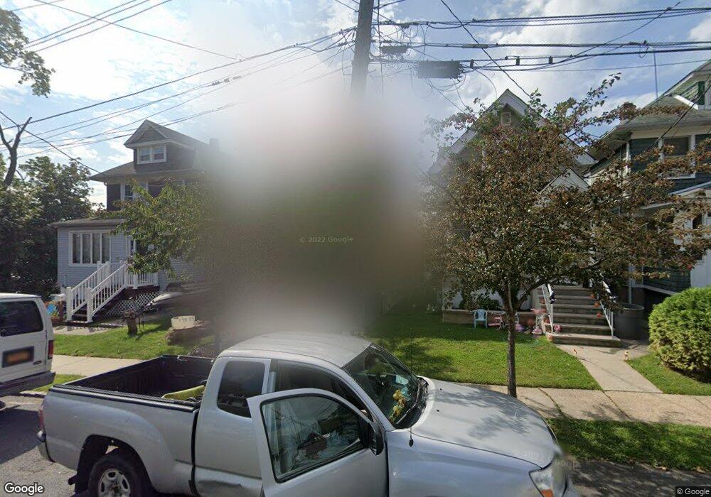
44 Cornell St Staten Island, NY 10302
Port Richmond NeighborhoodEstimated Value: $513,084 - $585,000
2
Beds
1
Bath
856
Sq Ft
$645/Sq Ft
Est. Value
About This Home
This home is located at 44 Cornell St, Staten Island, NY 10302 and is currently estimated at $552,271, approximately $645 per square foot. 44 Cornell St is a home located in Richmond County with nearby schools including P.S. 19 The Curtis School, I.S. 51 Edwin Markham, and Port Richmond High School.
Ownership History
Date
Name
Owned For
Owner Type
Purchase Details
Closed on
Jul 27, 2006
Sold by
Ronconi Rosina
Bought by
Guastamacchia Michael
Current Estimated Value
Purchase Details
Closed on
Oct 15, 1997
Sold by
Ronconi Rosina and Ronconi James
Bought by
Ronconi Rosina
Create a Home Valuation Report for This Property
The Home Valuation Report is an in-depth analysis detailing your home's value as well as a comparison with similar homes in the area
Home Values in the Area
Average Home Value in this Area
Purchase History
| Date | Buyer | Sale Price | Title Company |
|---|---|---|---|
| Guastamacchia Michael | $286,200 | Chicago Title Insurance Co | |
| Ronconi Rosina | $26,000 | First American Title Ins Co |
Source: Public Records
Tax History Compared to Growth
Tax History
| Year | Tax Paid | Tax Assessment Tax Assessment Total Assessment is a certain percentage of the fair market value that is determined by local assessors to be the total taxable value of land and additions on the property. | Land | Improvement |
|---|---|---|---|---|
| 2025 | $4,203 | $39,720 | $6,435 | $33,285 |
| 2024 | $4,215 | $33,060 | $7,294 | $25,766 |
| 2023 | $3,994 | $21,064 | $6,246 | $14,818 |
| 2022 | $3,680 | $29,820 | $10,800 | $19,020 |
| 2021 | $3,879 | $27,120 | $10,800 | $16,320 |
| 2020 | $3,879 | $28,440 | $10,800 | $17,640 |
| 2019 | $3,599 | $24,900 | $10,800 | $14,100 |
| 2018 | $3,281 | $17,553 | $8,875 | $8,678 |
| 2017 | $3,076 | $16,560 | $8,690 | $7,870 |
| 2016 | $3,001 | $16,560 | $9,005 | $7,555 |
| 2015 | $2,671 | $16,435 | $9,238 | $7,197 |
| 2014 | $2,671 | $15,505 | $9,010 | $6,495 |
Source: Public Records
Map
Nearby Homes
- 263 Decker Ave
- 46 Catherine St
- 155 Cortlandt St
- 152 Cortlandt St
- 1328 Forest Ave
- 47 Montell St
- 338 Decker Ave
- 125 Decker Ave
- 348 Decker Ave
- 22 Marianne St
- 40 North Ave
- 57 Burnside Ave
- 60 North Ave
- 21 Dryden Ct
- 67 Lexington Ave
- 78 Burnside Ave
- 32 Dickie Ave
- 646-662 Port Richmond Ave
- 646 Port Richmond Ave
- 469 Port Richmond Ave