44 Countryside Ct Canonsburg, PA 15317
Estimated Value: $342,000 - $355,000
3
Beds
3
Baths
1,566
Sq Ft
$222/Sq Ft
Est. Value
About This Home
This home is located at 44 Countryside Ct, Canonsburg, PA 15317 and is currently estimated at $347,423, approximately $221 per square foot. 44 Countryside Ct is a home located in Washington County with nearby schools including Canon-Mcmillan Senior High School and Central Christian Academy.
Ownership History
Date
Name
Owned For
Owner Type
Purchase Details
Closed on
Aug 18, 2006
Sold by
Ebert Scott D
Bought by
Smereczniak Jeffrey D
Current Estimated Value
Home Financials for this Owner
Home Financials are based on the most recent Mortgage that was taken out on this home.
Original Mortgage
$159,920
Outstanding Balance
$96,378
Interest Rate
6.83%
Mortgage Type
New Conventional
Estimated Equity
$251,045
Create a Home Valuation Report for This Property
The Home Valuation Report is an in-depth analysis detailing your home's value as well as a comparison with similar homes in the area
Home Values in the Area
Average Home Value in this Area
Purchase History
| Date | Buyer | Sale Price | Title Company |
|---|---|---|---|
| Smereczniak Jeffrey D | $199,900 | -- |
Source: Public Records
Mortgage History
| Date | Status | Borrower | Loan Amount |
|---|---|---|---|
| Open | Smereczniak Jeffrey D | $159,920 |
Source: Public Records
Tax History Compared to Growth
Tax History
| Year | Tax Paid | Tax Assessment Tax Assessment Total Assessment is a certain percentage of the fair market value that is determined by local assessors to be the total taxable value of land and additions on the property. | Land | Improvement |
|---|---|---|---|---|
| 2025 | $3,686 | $215,600 | $41,800 | $173,800 |
| 2024 | $3,441 | $215,600 | $41,800 | $173,800 |
| 2023 | $3,441 | $215,600 | $41,800 | $173,800 |
| 2022 | $3,431 | $215,600 | $41,800 | $173,800 |
| 2021 | $3,431 | $215,600 | $41,800 | $173,800 |
| 2020 | $3,258 | $215,600 | $41,800 | $173,800 |
| 2019 | $3,204 | $215,600 | $41,800 | $173,800 |
| 2018 | $3,137 | $215,600 | $41,800 | $173,800 |
| 2017 | $968 | $215,600 | $41,800 | $173,800 |
| 2016 | $968 | $27,757 | $5,499 | $22,258 |
| 2015 | $3,176 | $27,757 | $5,499 | $22,258 |
| 2014 | $1,010 | $27,757 | $5,499 | $22,258 |
| 2013 | $1,010 | $27,757 | $5,499 | $22,258 |
Source: Public Records
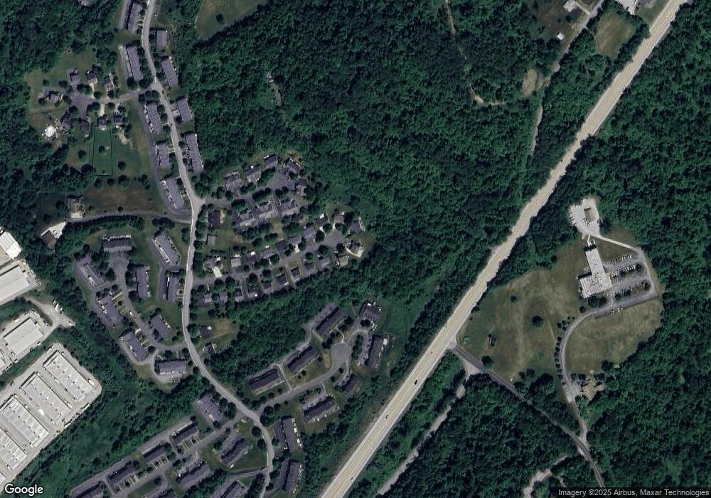
Map
Nearby Homes
- 1352 Meadowbrook Dr
- 1023 Royal Dr
- 1261 Meadowbrook Dr
- 322 Bridlewood Ct
- 231 Yellowwood Ct
- 112 Black Oak Ln
- 110 Black Oak Ln
- 202 Yellowwood Ct
- Mendelssohn E with Finished Basement Plan at Burkett Manor - Townhomes
- Mendelssohn Plan at Burkett Manor - Townhomes
- 211 Yellowwood Ct
- 332 Red Bud Ln
- Anderson Plan at Burkett Manor - Single-Family Homes
- Bramante Ranch Plan at Burkett Manor - Single-Family Homes
- Alberti Ranch Plan at Burkett Manor - Single-Family Homes
- Ballenger Plan at Burkett Manor - Single-Family Homes
- Columbia Plan at Burkett Manor - Single-Family Homes
- Hudson Plan at Burkett Manor - Single-Family Homes
- 110 Multiflora Dr
- 1107 Arrowhead Dr
- 40 Countryside Ct
- 43 Countryside Ct
- 43 Countryside Ct
- 38 Countryside Ct
- 39 Countryside Ct
- 941 Royal Ct
- 32 Countryside Ct
- 35 Countryside Ct
- 31 Countryside Ct
- 939 Royal Ct
- 942 Royal Ct
- 28 Countryside Ct
- 937 Royal Ct
- 27 Countryside Ct
- 935 Royal Ct
- 118 Horseshoe Cir E
- 933 Royal Ct
- 24 Countryside Ct
- 116 Horseshoe Cir E
- 23 Countryside Ct