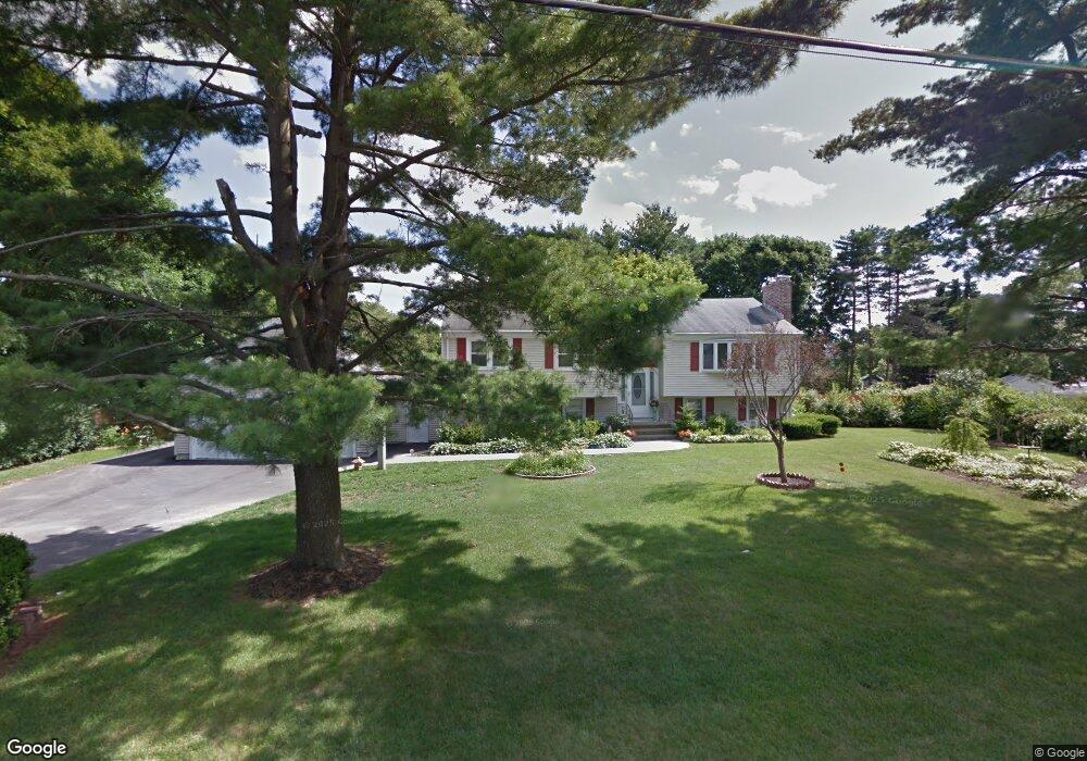
44 Cushing Rd Westwood, MA 02090
Estimated Value: $1,004,048 - $1,285,000
3
Beds
3
Baths
1,432
Sq Ft
$796/Sq Ft
Est. Value
About This Home
This home is located at 44 Cushing Rd, Westwood, MA 02090 and is currently estimated at $1,140,512, approximately $796 per square foot. 44 Cushing Rd is a home located in Norfolk County with nearby schools including Westwood High School, Academy of the Pacific Rim Charter Public School, and St Catherine Of Siena School.
Create a Home Valuation Report for This Property
The Home Valuation Report is an in-depth analysis detailing your home's value as well as a comparison with similar homes in the area
Home Values in the Area
Average Home Value in this Area
Tax History
We collect this data history from publicly available records. To have your information removed, we recommend requesting removal directly through your county’s website.
| Year | Tax Paid | Tax Assessment Tax Assessment Total Assessment is a certain percentage of the fair market value that is determined by local assessors to be the total taxable value of land and additions on the property. | Land | Improvement |
|---|---|---|---|---|
| 2025 | $13,284 | $1,037,800 | $530,200 | $507,600 |
| 2024 | $12,113 | $945,600 | $504,800 | $440,800 |
| 2023 | $10,917 | $763,400 | $420,800 | $342,600 |
| 2022 | $10,578 | $713,300 | $356,050 | $357,250 |
| 2021 | $10,443 | $706,550 | $338,850 | $367,700 |
| 2020 | $9,570 | $659,550 | $338,850 | $320,700 |
| 2019 | $9,429 | $643,650 | $322,950 | $320,700 |
| 2018 | $8,678 | $575,100 | $322,950 | $252,150 |
| 2017 | $8,813 | $604,900 | $322,950 | $281,950 |
| 2016 | $8,615 | $587,650 | $322,950 | $264,700 |
| 2015 | $8,890 | $583,350 | $322,950 | $260,400 |
Source: Public Records
Map
Nearby Homes
- 68 Phillips Brooks Rd
- 58 Weatherbee Dr
- 501 Canton St
- 243 Weatherbee Dr
- 10 Peartree Dr
- 33 Overlook Ave
- 290 East St
- 12 Westwood Terrace
- 1139 East St
- 13 Willard St
- 138 Ellis Ave
- 130 University Ave Unit 1412
- 1044 East St
- 19 Rose Ct Unit 19
- 387 Washington St
- 18 Margaret St
- 407 Washington St Unit 2
- 59 Beacon St Unit 59
- 12 Dean Ave
- 202 Washington St
Your Personal Tour Guide
Ask me questions while you tour the home.