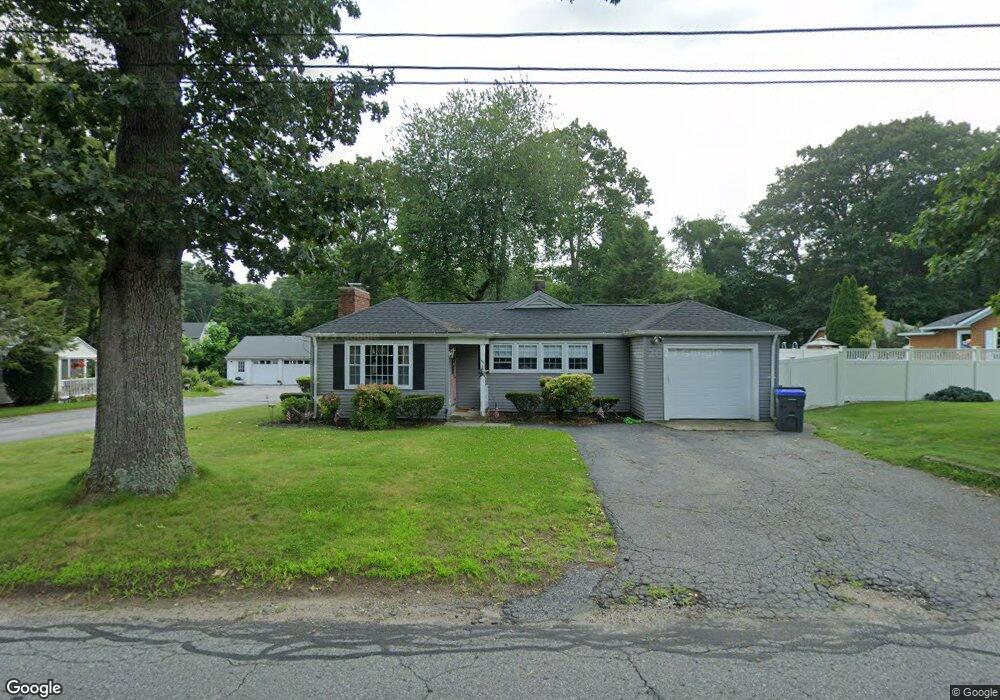
44 Depot St Douglas, MA 01516
Estimated Value: $300,811 - $467,000
2
Beds
1
Bath
804
Sq Ft
$460/Sq Ft
Est. Value
About This Home
This home is located at 44 Depot St, Douglas, MA 01516 and is currently estimated at $370,203, approximately $460 per square foot. 44 Depot St is a home located in Worcester County with nearby schools including Douglas Primary School, Douglas Middle School, and Douglas High School.
Ownership History
Date
Name
Owned For
Owner Type
Purchase Details
Closed on
Apr 30, 2009
Sold by
Paglicco Charles D and Paglicco Rita M
Bought by
Arpin Karen A
Current Estimated Value
Home Financials for this Owner
Home Financials are based on the most recent Mortgage that was taken out on this home.
Original Mortgage
$147,283
Outstanding Balance
$93,107
Interest Rate
4.86%
Mortgage Type
Purchase Money Mortgage
Estimated Equity
$277,096
Create a Home Valuation Report for This Property
The Home Valuation Report is an in-depth analysis detailing your home's value as well as a comparison with similar homes in the area
Home Values in the Area
Average Home Value in this Area
Purchase History
| Date | Buyer | Sale Price | Title Company |
|---|---|---|---|
| Arpin Karen A | $150,000 | -- |
Source: Public Records
Mortgage History
| Date | Status | Borrower | Loan Amount |
|---|---|---|---|
| Open | Arpin Karen A | $147,283 |
Source: Public Records
Tax History
| Year | Tax Paid | Tax Assessment Tax Assessment Total Assessment is a certain percentage of the fair market value that is determined by local assessors to be the total taxable value of land and additions on the property. | Land | Improvement |
|---|---|---|---|---|
| 2025 | $31 | $231,900 | $99,400 | $132,500 |
| 2024 | $3,045 | $225,200 | $94,700 | $130,500 |
| 2023 | $3,033 | $211,200 | $94,700 | $116,500 |
| 2022 | $2,993 | $183,200 | $84,700 | $98,500 |
| 2021 | $2,888 | $172,700 | $80,700 | $92,000 |
| 2020 | $2,844 | $167,500 | $80,700 | $86,800 |
| 2019 | $2,800 | $160,000 | $80,700 | $79,300 |
| 2018 | $2,513 | $156,400 | $80,700 | $75,700 |
| 2017 | $2,342 | $140,100 | $76,200 | $63,900 |
| 2016 | $2,304 | $137,000 | $76,200 | $60,800 |
| 2015 | $2,255 | $137,000 | $76,200 | $60,800 |
Source: Public Records
Map
Nearby Homes
- 46 Depot St
- 48 Depot St
- 42 Depot St
- 21 Martin Rd
- 19 Martin Rd
- 50 Depot St
- 27 Martin Rd
- 40 Depot St
- 40 Depot St Unit 6
- 40 Depot St Unit 1
- 40 Depot St Unit 3rd fl rear
- 40 Depot St Unit 1st fl rear
- 40 Depot St Unit 2nd fl rear
- 40 Depot St Unit 3rd fl frn
- 40 Depot St Unit 2
- 40 Depot St Unit 3
- 40 Depot St Unit 7
- 40 Depot St Unit 4
- 40 Depot St Unit 5
- 40 Depot St