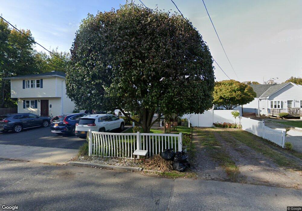
44 E 8th St Huntington Station, NY 11746
Estimated Value: $551,794 - $794,000
--
Bed
--
Bath
--
Sq Ft
5,227
Sq Ft Lot
About This Home
This home is located at 44 E 8th St, Huntington Station, NY 11746 and is currently estimated at $687,199. 44 E 8th St is a home located in Suffolk County with nearby schools including Washington School, Woodhull Intermediate School, and J Taylor Finley Middle School.
Ownership History
Date
Name
Owned For
Owner Type
Purchase Details
Closed on
Jan 9, 2023
Sold by
Alvarez Clement
Bought by
Alvarez Clement
Current Estimated Value
Purchase Details
Closed on
Nov 16, 2005
Sold by
Murer James and Murer Linda
Bought by
Alvarez Clement
Purchase Details
Closed on
Apr 25, 2002
Sold by
Murer James
Bought by
Murer James and Murer Linda
Home Financials for this Owner
Home Financials are based on the most recent Mortgage that was taken out on this home.
Original Mortgage
$180,000
Interest Rate
6.36%
Mortgage Type
Purchase Money Mortgage
Purchase Details
Closed on
Oct 24, 2001
Sold by
Regensburg Michael and The Chase Manhattan Bank
Bought by
Murer James
Purchase Details
Closed on
Oct 10, 1996
Sold by
Roux Gilbert and Roux Raymond
Bought by
Roux Robert
Create a Home Valuation Report for This Property
The Home Valuation Report is an in-depth analysis detailing your home's value as well as a comparison with similar homes in the area
Home Values in the Area
Average Home Value in this Area
Purchase History
| Date | Buyer | Sale Price | Title Company |
|---|---|---|---|
| Alvarez Clement | -- | Commonwealth Land Title | |
| Alvarez Clement | $414,000 | David Sperling | |
| Murer James | -- | Stewart Title | |
| Murer James | $160,000 | Old Republic Natl Title Ins | |
| Roux Robert | -- | -- |
Source: Public Records
Mortgage History
| Date | Status | Borrower | Loan Amount |
|---|---|---|---|
| Previous Owner | Murer James | $180,000 |
Source: Public Records
Tax History Compared to Growth
Tax History
| Year | Tax Paid | Tax Assessment Tax Assessment Total Assessment is a certain percentage of the fair market value that is determined by local assessors to be the total taxable value of land and additions on the property. | Land | Improvement |
|---|---|---|---|---|
| 2024 | $11,512 | $3,200 | $100 | $3,100 |
| 2023 | $5,756 | $3,200 | $100 | $3,100 |
| 2022 | $11,394 | $3,200 | $100 | $3,100 |
| 2021 | $11,256 | $3,200 | $100 | $3,100 |
| 2020 | $11,113 | $3,200 | $100 | $3,100 |
| 2019 | $22,226 | $0 | $0 | $0 |
| 2018 | $10,451 | $3,200 | $100 | $3,100 |
| 2017 | $10,451 | $3,900 | $100 | $3,800 |
| 2016 | $12,674 | $3,900 | $100 | $3,800 |
| 2015 | -- | $3,900 | $100 | $3,800 |
| 2014 | -- | $3,900 | $100 | $3,800 |
Source: Public Records
Map
Nearby Homes
- 107 E 9th St
- 95 E Pulaski Rd
- 1 Varney Ave
- 148 Lenox Rd
- 122 E 12th St
- 126 E 12th St
- 57 E Pulaski Rd
- 0 E 12th St
- 1 Timothy Ln
- 26 E 12th St
- 71 Biltmore Cir
- 217 Broadway
- 54 E 14th St
- 30 3rd Ave
- 280 Lowndes Ave Unit 208
- 280 Lowndes Ave Unit 305G
- 280 Lowndes Ave Unit 111G
- 25 E 13th St
- 20 Pine Ave
- 26 Townhouse Rd S Unit 26