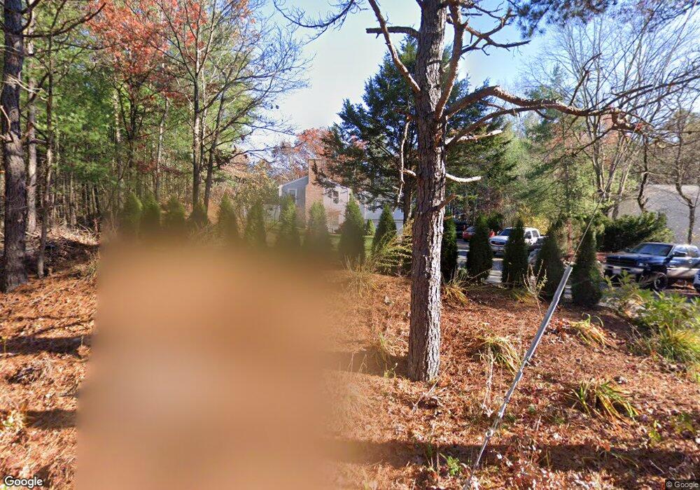
44 East St Sudbury, MA 01776
Estimated Value: $752,000 - $910,000
3
Beds
2
Baths
1,300
Sq Ft
$653/Sq Ft
Est. Value
About This Home
This home is located at 44 East St, Sudbury, MA 01776 and is currently estimated at $848,732, approximately $652 per square foot. 44 East St is a home located in Middlesex County with nearby schools including Peter Noyes Elementary School, Ephraim Curtis Middle School, and Lincoln-Sudbury Regional High School.
Ownership History
Date
Name
Owned For
Owner Type
Purchase Details
Closed on
Aug 9, 2023
Sold by
Mcguire T P T and Mcguire Paula K
Bought by
Mcguire Ft and Mcguire
Current Estimated Value
Purchase Details
Closed on
Jun 17, 2003
Sold by
Wilson Helen Y
Bought by
Kennedy-Mcguire Paula and Kennedy-Mcguire Paul Mcguire
Home Financials for this Owner
Home Financials are based on the most recent Mortgage that was taken out on this home.
Original Mortgage
$100,000
Interest Rate
5.77%
Mortgage Type
Purchase Money Mortgage
Create a Home Valuation Report for This Property
The Home Valuation Report is an in-depth analysis detailing your home's value as well as a comparison with similar homes in the area
Home Values in the Area
Average Home Value in this Area
Purchase History
| Date | Buyer | Sale Price | Title Company |
|---|---|---|---|
| Mcguire Ft | -- | None Available | |
| Kennedy-Mcguire Paula | $372,000 | -- |
Source: Public Records
Mortgage History
| Date | Status | Borrower | Loan Amount |
|---|---|---|---|
| Previous Owner | Kennedy-Mcguire Paula | $100,000 |
Source: Public Records
Tax History Compared to Growth
Tax History
| Year | Tax Paid | Tax Assessment Tax Assessment Total Assessment is a certain percentage of the fair market value that is determined by local assessors to be the total taxable value of land and additions on the property. | Land | Improvement |
|---|---|---|---|---|
| 2025 | $10,495 | $716,900 | $395,000 | $321,900 |
| 2024 | $10,147 | $694,500 | $383,500 | $311,000 |
| 2023 | $10,247 | $649,800 | $355,000 | $294,800 |
| 2022 | $9,761 | $540,800 | $325,900 | $214,900 |
| 2021 | $9,616 | $510,700 | $325,900 | $184,800 |
| 2020 | $9,422 | $510,700 | $325,900 | $184,800 |
| 2019 | $9,147 | $510,700 | $325,900 | $184,800 |
| 2018 | $8,592 | $479,200 | $347,500 | $131,700 |
| 2017 | $7,885 | $444,500 | $330,500 | $114,000 |
| 2016 | $7,593 | $426,600 | $317,900 | $108,700 |
| 2015 | $6,950 | $394,900 | $305,700 | $89,200 |
| 2014 | $6,925 | $384,100 | $296,700 | $87,400 |
Source: Public Records
Map
Nearby Homes
- 14 Tanbark Rd
- 7 Saddle Ridge Rd
- 36 Old Forge Ln
- 24 Goodnow Rd
- 21 Summer St
- 270 Old Lancaster Rd
- 47 Fairbank Rd
- 4 Elderberry Cir
- 89 Bridle Path
- 25 Bridle Path
- 12 Camperdown Ln
- 30 Rolling Ln
- 12 Hickory Rd
- 54 Phillips Rd
- 0 Robbins Rd
- 143 Peakham Rd
- 54 Stone Rd
- 55 Widow Rites Ln
- 45 Widow Rites Ln
- 427 Concord Rd