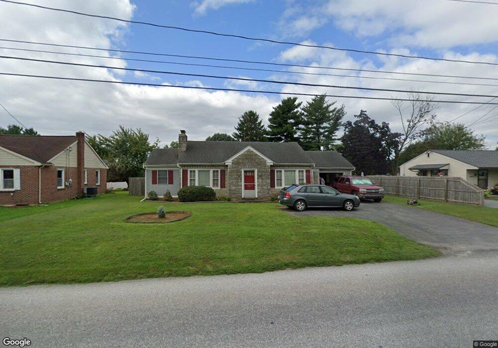
44 Eastbrook Rd Ronks, PA 17572
Fertility NeighborhoodEstimated Value: $275,548 - $307,000
2
Beds
1
Bath
997
Sq Ft
$294/Sq Ft
Est. Value
About This Home
This home is located at 44 Eastbrook Rd, Ronks, PA 17572 and is currently estimated at $292,637, approximately $293 per square foot. 44 Eastbrook Rd is a home located in Lancaster County with nearby schools including Smoketown Elementary School, Gerald G. Huesken Middle School, and Conestoga Valley High School.
Ownership History
Date
Name
Owned For
Owner Type
Purchase Details
Closed on
Feb 7, 2003
Sold by
Harnish Vickie L
Bought by
Swift Robert Todd
Current Estimated Value
Home Financials for this Owner
Home Financials are based on the most recent Mortgage that was taken out on this home.
Original Mortgage
$93,600
Interest Rate
5.88%
Purchase Details
Closed on
Dec 14, 2000
Sold by
Ippolito Trent E and Ippolito Sherry D
Bought by
Harnish Vickie L
Home Financials for this Owner
Home Financials are based on the most recent Mortgage that was taken out on this home.
Original Mortgage
$107,845
Interest Rate
7.7%
Mortgage Type
FHA
Create a Home Valuation Report for This Property
The Home Valuation Report is an in-depth analysis detailing your home's value as well as a comparison with similar homes in the area
Home Values in the Area
Average Home Value in this Area
Purchase History
| Date | Buyer | Sale Price | Title Company |
|---|---|---|---|
| Swift Robert Todd | $117,000 | First American Title Ins Co | |
| Harnish Vickie L | $107,900 | -- |
Source: Public Records
Mortgage History
| Date | Status | Borrower | Loan Amount |
|---|---|---|---|
| Previous Owner | Swift Robert Todd | $93,600 | |
| Previous Owner | Harnish Vickie L | $107,845 |
Source: Public Records
Tax History
| Year | Tax Paid | Tax Assessment Tax Assessment Total Assessment is a certain percentage of the fair market value that is determined by local assessors to be the total taxable value of land and additions on the property. | Land | Improvement |
|---|---|---|---|---|
| 2025 | $2,749 | $135,800 | $43,600 | $92,200 |
| 2024 | $2,749 | $135,800 | $43,600 | $92,200 |
| 2023 | $2,686 | $135,800 | $43,600 | $92,200 |
| 2022 | $2,619 | $135,800 | $43,600 | $92,200 |
| 2021 | $2,527 | $135,800 | $43,600 | $92,200 |
| 2020 | $2,527 | $135,800 | $43,600 | $92,200 |
| 2019 | $2,472 | $135,800 | $43,600 | $92,200 |
| 2018 | $3,446 | $135,800 | $43,600 | $92,200 |
| 2017 | $2,438 | $112,600 | $30,600 | $82,000 |
| 2016 | $2,408 | $112,600 | $30,600 | $82,000 |
| 2015 | $615 | $112,600 | $30,600 | $82,000 |
| 2014 | $1,574 | $112,600 | $30,600 | $82,000 |
Source: Public Records
Map
Nearby Homes
- 2479 Ellendale Dr
- 2453 Lincoln Hwy E
- 2538 Siegrist Rd
- 2318 Rockvale Rd
- 2498 Old Philadelphia Park
- 323 Enterprise Dr
- 2472 Leaman Rd
- 2187 Lincoln Hwy E
- 40 Harvest Rd
- 439 Coreopsis Dr
- 305 Greenland Dr Unit 385
- 352 Dohner Dr Unit 69
- 2009 Millstream Rd
- 225 Black Oak Dr
- 312 Laurel Oak Ln
- 39 Old Orchard Rd
- 37 Old Orchard Rd
- 350 Village Rd Unit HAWTHORNE
- 350 Village Rd Unit AUGUSTA
- 350 Village Rd Unit ARCADIA
- 48 Eastbrook Rd
- 40 Eastbrook Rd
- 2472 Ellendale Dr
- 50 Eastbrook Rd
- 38 Eastbrook Rd
- 38 Eastbrook Rd
- 45 Eastbrook Rd
- 2470 Ellendale Dr
- 2474 Ellendale Dr
- 43 Eastbrook Rd
- 52 Eastbrook Rd
- 49 Eastbrook Rd
- 39 Eastbrook Rd
- 2476 Ellendale Dr
- 2466 Ellendale Dr
- 54 Eastbrook Rd
- 2467 Ellendale Dr
- 55 Eastbrook Rd
- 2478 Ellendale Dr
- 2473 Ellendale Dr
Your Personal Tour Guide
Ask me questions while you tour the home.