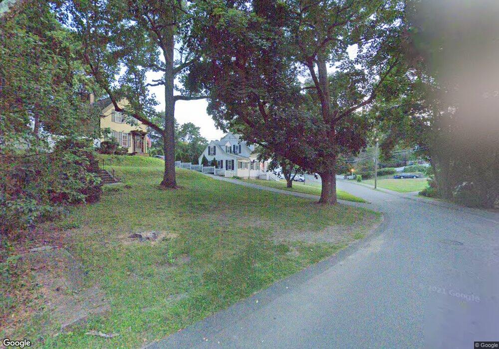
44 Elmwood Park Braintree, MA 02184
Weymouth Landing NeighborhoodEstimated Value: $774,000 - $1,018,000
3
Beds
2
Baths
1,972
Sq Ft
$442/Sq Ft
Est. Value
About This Home
This home is located at 44 Elmwood Park, Braintree, MA 02184 and is currently estimated at $872,319, approximately $442 per square foot. 44 Elmwood Park is a home located in Norfolk County with nearby schools including Braintree High School, Sacred Heart Elementary School, and South Shore Christian Academy.
Ownership History
Date
Name
Owned For
Owner Type
Purchase Details
Closed on
May 21, 2007
Sold by
Phillips Sarah R
Bought by
Giroux Matthew C and Gringeri Sharon F
Current Estimated Value
Home Financials for this Owner
Home Financials are based on the most recent Mortgage that was taken out on this home.
Original Mortgage
$296,000
Outstanding Balance
$180,146
Interest Rate
6.18%
Mortgage Type
Purchase Money Mortgage
Estimated Equity
$692,173
Create a Home Valuation Report for This Property
The Home Valuation Report is an in-depth analysis detailing your home's value as well as a comparison with similar homes in the area
Home Values in the Area
Average Home Value in this Area
Purchase History
| Date | Buyer | Sale Price | Title Company |
|---|---|---|---|
| Giroux Matthew C | $370,000 | -- |
Source: Public Records
Mortgage History
| Date | Status | Borrower | Loan Amount |
|---|---|---|---|
| Open | Giroux Matthew C | $296,000 | |
| Closed | Giroux Matthew C | $36,900 |
Source: Public Records
Tax History Compared to Growth
Tax History
| Year | Tax Paid | Tax Assessment Tax Assessment Total Assessment is a certain percentage of the fair market value that is determined by local assessors to be the total taxable value of land and additions on the property. | Land | Improvement |
|---|---|---|---|---|
| 2025 | $7,675 | $769,000 | $380,800 | $388,200 |
| 2024 | $6,978 | $736,100 | $355,100 | $381,000 |
| 2023 | $6,636 | $679,900 | $319,100 | $360,800 |
| 2022 | $6,458 | $649,000 | $288,200 | $360,800 |
| 2021 | $5,751 | $578,000 | $260,400 | $317,600 |
| 2020 | $4,574 | $463,900 | $236,700 | $227,200 |
| 2019 | $4,396 | $435,700 | $226,400 | $209,300 |
| 2018 | $4,286 | $406,600 | $205,800 | $200,800 |
| 2017 | $4,164 | $387,700 | $195,500 | $192,200 |
| 2016 | $3,857 | $351,300 | $164,700 | $186,600 |
| 2015 | $3,786 | $342,000 | $162,600 | $179,400 |
| 2014 | $3,579 | $313,400 | $148,200 | $165,200 |
Source: Public Records
Map
Nearby Homes
- 36 Brookside Rd
- 15 Summer St
- 122 Washington St Unit 22
- 11 Richmond St
- 51 Faxon St
- 141 Commercial St Unit 9
- 145 Commercial St Unit 3
- 21 Faxon St
- 23-25 Lindbergh Ave
- 16 Lindbergh Ave
- 114 Broad St Unit D
- 114 Broad St Unit C
- 685 Union St
- 28 Webb St
- 9 Vine St Unit 1
- 19 Vine St Unit 3
- 33 Congress St
- 230 Lisle St
- 83 Edgemont Rd
- 71 Robbie Rd
- 38 Elmwood Park
- 29-31 Elliot St
- 29 Elliot St Unit 31
- 25 Elliot St Unit 27
- 31 Elliot St Unit 31
- 28 Elmwood Park
- 23 Elliot St
- 55 Elmwood Park
- 37 Elmwood Park
- 37 Elmwood Park Unit single fam.
- 22 Elmwood Park
- 19 Elliot St
- 45 Elmwood Park
- 45 Elmwood Park Unit 2
- 57 Elmwood Park
- 27 Elmwood Park
- 46 Elliot St
- 18 Elmwood Park
- 32 Elliot St
- 36 Elliot St