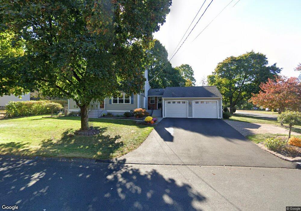
44 Gregory Rd Bristol, CT 06010
North Bristol NeighborhoodEstimated Value: $351,000 - $388,000
3
Beds
3
Baths
1,500
Sq Ft
$244/Sq Ft
Est. Value
About This Home
This home is located at 44 Gregory Rd, Bristol, CT 06010 and is currently estimated at $365,890, approximately $243 per square foot. 44 Gregory Rd is a home located in Hartford County with nearby schools including Ivy Drive School, Northeast Middle School, and Bristol Eastern High School.
Ownership History
Date
Name
Owned For
Owner Type
Purchase Details
Closed on
Jun 25, 1999
Sold by
Deluzio Mark C and Deluzio Diane E
Bought by
Wheatley Tyna C and Sutton Jason P
Current Estimated Value
Home Financials for this Owner
Home Financials are based on the most recent Mortgage that was taken out on this home.
Original Mortgage
$316,350
Outstanding Balance
$81,373
Interest Rate
6.75%
Estimated Equity
$284,517
Purchase Details
Closed on
Feb 3, 1999
Sold by
Defilippo Gina M
Bought by
Connolly Cornelius M and Connolly Wendi A
Home Financials for this Owner
Home Financials are based on the most recent Mortgage that was taken out on this home.
Original Mortgage
$137,700
Interest Rate
6.74%
Purchase Details
Closed on
Dec 29, 1995
Sold by
Scalia Antoinette
Bought by
Defilippo Gina
Create a Home Valuation Report for This Property
The Home Valuation Report is an in-depth analysis detailing your home's value as well as a comparison with similar homes in the area
Home Values in the Area
Average Home Value in this Area
Purchase History
| Date | Buyer | Sale Price | Title Company |
|---|---|---|---|
| Wheatley Tyna C | $333,000 | -- | |
| Connolly Cornelius M | $135,000 | -- | |
| Defilippo Gina | $92,000 | -- |
Source: Public Records
Mortgage History
| Date | Status | Borrower | Loan Amount |
|---|---|---|---|
| Closed | Defilippo Gina | $27,000 | |
| Closed | Defilippo Gina | $132,069 | |
| Open | Defilippo Gina | $316,350 | |
| Previous Owner | Defilippo Gina | $137,700 |
Source: Public Records
Tax History
| Year | Tax Paid | Tax Assessment Tax Assessment Total Assessment is a certain percentage of the fair market value that is determined by local assessors to be the total taxable value of land and additions on the property. | Land | Improvement |
|---|---|---|---|---|
| 2025 | $6,658 | $197,260 | $43,750 | $153,510 |
| 2024 | $6,263 | $196,630 | $43,750 | $152,880 |
| 2023 | $5,968 | $196,630 | $43,750 | $152,880 |
| 2022 | $5,450 | $142,100 | $35,560 | $106,540 |
| 2021 | $5,450 | $142,100 | $35,560 | $106,540 |
| 2020 | $5,450 | $142,100 | $35,560 | $106,540 |
| 2019 | $4,917 | $129,220 | $35,560 | $93,660 |
| 2018 | $4,766 | $129,220 | $35,560 | $93,660 |
| 2017 | $4,560 | $126,560 | $40,670 | $85,890 |
| 2016 | $4,560 | $126,560 | $40,670 | $85,890 |
| 2015 | $4,380 | $126,560 | $40,670 | $85,890 |
| 2014 | $4,380 | $126,560 | $40,670 | $85,890 |
Source: Public Records
Map
Nearby Homes
- 162 Ben St
- 3 Sandra St
- 97 Jacqueline Dr
- 35 Jasmine St
- 14 Bridgeport Ave
- 1325 Farmington Ave Unit 52
- 1325 Farmington Ave Unit 54
- 55 Beths Ave Unit 77
- 941 Farmington Ave
- 1469 Farmington Ave Unit 56
- 1469 Farmington Ave Unit 40
- 20 Westchester Dr
- 131 Mountain View Ave
- 101 Vincent Rd
- 169 Morningside Dr E
- 25 Sheffield Ln
- 64 Fanway Ave
- 186 Stevens St
- 179 Mark St
- 206 Burton St
Your Personal Tour Guide
Ask me questions while you tour the home.