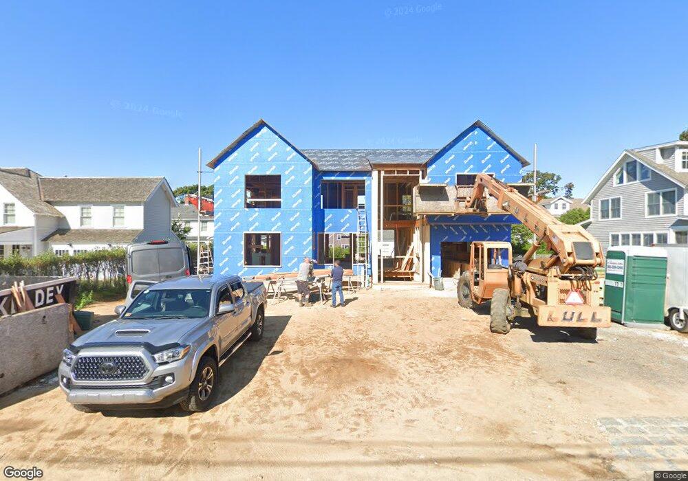
44 Grove Ave Madison, CT 06443
Estimated Value: $1,699,000 - $2,236,298
5
Beds
4
Baths
2,547
Sq Ft
$789/Sq Ft
Est. Value
About This Home
This home is located at 44 Grove Ave, Madison, CT 06443 and is currently estimated at $2,010,766, approximately $789 per square foot. 44 Grove Ave is a home located in New Haven County with nearby schools including Walter C. Polson Upper Middle School, Daniel Hand High School, and Our Lady of Mercy Preparatory Academy.
Ownership History
Date
Name
Owned For
Owner Type
Purchase Details
Closed on
Jan 3, 2023
Sold by
Tilton John H and Tilton Kristin K
Bought by
Smith Scott and Brown Nancy
Current Estimated Value
Purchase Details
Closed on
Sep 1, 2009
Sold by
Patricia B Forbes Ret and Forbes Patricia B
Bought by
Tilton John H and Tilton Kristin R
Home Financials for this Owner
Home Financials are based on the most recent Mortgage that was taken out on this home.
Original Mortgage
$763,000
Interest Rate
5.17%
Create a Home Valuation Report for This Property
The Home Valuation Report is an in-depth analysis detailing your home's value as well as a comparison with similar homes in the area
Home Values in the Area
Average Home Value in this Area
Purchase History
| Date | Buyer | Sale Price | Title Company |
|---|---|---|---|
| Smith Scott | $2,010,000 | None Available | |
| Tilton John H | $1,090,000 | -- |
Source: Public Records
Mortgage History
| Date | Status | Borrower | Loan Amount |
|---|---|---|---|
| Previous Owner | Tilton John H | $695,000 | |
| Previous Owner | Tilton John H | $150,000 | |
| Previous Owner | Tilton John H | $763,000 |
Source: Public Records
Tax History
| Year | Tax Paid | Tax Assessment Tax Assessment Total Assessment is a certain percentage of the fair market value that is determined by local assessors to be the total taxable value of land and additions on the property. | Land | Improvement |
|---|---|---|---|---|
| 2025 | $22,230 | $991,100 | $818,000 | $173,100 |
| 2024 | $27,744 | $1,261,100 | $818,000 | $443,100 |
| 2023 | $21,378 | $713,300 | $484,400 | $228,900 |
| 2022 | $20,978 | $713,300 | $484,400 | $228,900 |
| 2021 | $23,286 | $713,300 | $484,400 | $228,900 |
| 2020 | $20,222 | $713,300 | $484,400 | $228,900 |
| 2019 | $15,824 | $713,300 | $484,400 | $228,900 |
| 2018 | $22,048 | $786,300 | $525,800 | $260,500 |
| 2017 | $21,049 | $786,300 | $525,800 | $260,500 |
| 2016 | $20,829 | $786,300 | $525,800 | $260,500 |
| 2015 | $20,255 | $786,300 | $525,800 | $260,500 |
| 2014 | $33,204 | $1,319,200 | $1,048,800 | $270,400 |
Source: Public Records
Map
Nearby Homes
- 35 Hotchkiss Ln
- 137 Liberty St
- 45 Wilshire Rd Unit 45
- 1 Wilshire Rd Unit 1D
- 77 E Wharf Rd
- 34 Wilshire Rd
- 908 Boston Post Rd Unit 908
- 0 Bushnell Ln
- 21 Apple Way
- 40 Hull Rd
- 92 Scotland Ave
- 24 Railroad Ave
- 11 Tuxis Rd
- 16 Forest Hills Dr
- 92 Scotland Rd Unit Lot. 3
- 162 Yankee Peddler Path
- 30 Meeting House Ln
- 11 Longview Terrace
- 14 Centre Village Dr
- 0 Skytop Dr
Your Personal Tour Guide
Ask me questions while you tour the home.