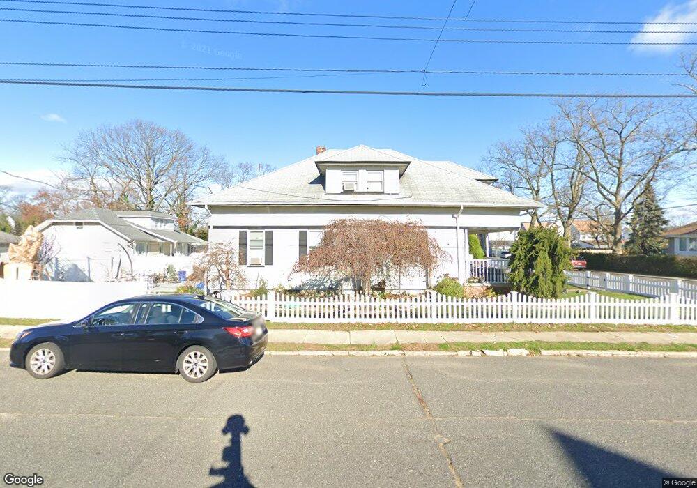
44 Grove St Long Branch, NJ 07740
Estimated Value: $603,881 - $691,000
2
Beds
2
Baths
1,938
Sq Ft
$329/Sq Ft
Est. Value
About This Home
This home is located at 44 Grove St, Long Branch, NJ 07740 and is currently estimated at $636,970, approximately $328 per square foot. 44 Grove St is a home located in Monmouth County with nearby schools including Long Branch High School, Holy Trinity School, and Bet Yaakov of the Jersey Shore.
Ownership History
Date
Name
Owned For
Owner Type
Purchase Details
Closed on
Jul 7, 2005
Sold by
Salmeron Camilo
Bought by
Salmeron Camilo and Salmeron Ana
Current Estimated Value
Home Financials for this Owner
Home Financials are based on the most recent Mortgage that was taken out on this home.
Original Mortgage
$256,500
Outstanding Balance
$133,290
Interest Rate
5.59%
Mortgage Type
New Conventional
Estimated Equity
$503,680
Purchase Details
Closed on
Aug 27, 1998
Sold by
Damiano R J
Bought by
Salermon Camilo and Salermon Ana
Home Financials for this Owner
Home Financials are based on the most recent Mortgage that was taken out on this home.
Original Mortgage
$112,625
Interest Rate
6.9%
Create a Home Valuation Report for This Property
The Home Valuation Report is an in-depth analysis detailing your home's value as well as a comparison with similar homes in the area
Home Values in the Area
Average Home Value in this Area
Purchase History
| Date | Buyer | Sale Price | Title Company |
|---|---|---|---|
| Salmeron Camilo | -- | -- | |
| Salermon Camilo | $132,500 | -- |
Source: Public Records
Mortgage History
| Date | Status | Borrower | Loan Amount |
|---|---|---|---|
| Open | Salmeron Camilo | $256,500 | |
| Previous Owner | Salermon Camilo | $112,625 |
Source: Public Records
Tax History Compared to Growth
Tax History
| Year | Tax Paid | Tax Assessment Tax Assessment Total Assessment is a certain percentage of the fair market value that is determined by local assessors to be the total taxable value of land and additions on the property. | Land | Improvement |
|---|---|---|---|---|
| 2025 | $8,463 | $623,300 | $330,000 | $293,300 |
| 2024 | $7,312 | $550,600 | $270,000 | $280,600 |
| 2023 | $7,312 | $470,800 | $203,000 | $267,800 |
| 2022 | $6,605 | $365,400 | $129,500 | $235,900 |
| 2021 | $6,605 | $330,100 | $109,500 | $220,600 |
| 2020 | $6,665 | $318,900 | $99,500 | $219,400 |
| 2019 | $6,384 | $303,700 | $94,500 | $209,200 |
| 2018 | $6,194 | $293,000 | $91,500 | $201,500 |
| 2017 | $5,960 | $289,200 | $91,500 | $197,700 |
| 2016 | $5,762 | $285,100 | $92,500 | $192,600 |
| 2015 | $4,786 | $214,900 | $82,500 | $132,400 |
| 2014 | $4,437 | $210,000 | $92,500 | $117,500 |
Source: Public Records
Map
Nearby Homes
- 28 Norwood Ave
- 88 Norwood Ave
- 2 Hilltop Rd
- 11 Golf St
- 631 Irving Place
- 399 Willow Ave
- 119 Washington St
- 11 Clay St
- 7 Linden Ave
- 264 Norwood Ave
- 54 Wall St
- 565 Joline Ave
- 440 W End Ave
- 572 Jay St
- 238 Branchport Ave
- 21 Dennis St
- 364 Westwood Ave Unit 39
- 364 Westwood Ave Unit 71
- 364 Westwood Ave Unit 21
- 11 Fairway Ave
- 40 Grove St
- 36 Grove St
- 642 Morford Ave
- 636 Morford Ave
- 655 Morford Ave
- 646 Morford Ave
- 646 Morford Ave Unit 1
- 646 Morford Ave Unit 2
- 634 Morford Ave
- 32 Grove St
- 631 Morford Ave
- 657 Morford Ave
- 630 Morford Ave
- 650 Morford Ave
- 28 Grove St
- 659 Morford Ave
- 632 Conover St
- 658 Morford Ave
- 628 Conover St
- 661 Morford Ave