Estimated Value: $1,410,000 - $1,823,000
4
Beds
5
Baths
3,497
Sq Ft
$441/Sq Ft
Est. Value
About This Home
This home is located at 44 Hammond St, Acton, MA 01720 and is currently estimated at $1,541,353, approximately $440 per square foot. 44 Hammond St is a home located in Middlesex County with nearby schools including Acton-Boxborough Regional High School.
Ownership History
Date
Name
Owned For
Owner Type
Purchase Details
Closed on
Mar 17, 2023
Sold by
Ohara Michael and Ohara D K
Bought by
Michael Ohara T J
Current Estimated Value
Purchase Details
Closed on
Jul 31, 2002
Sold by
Prudential Res Svcs Lp
Bought by
Ohara J Michael and Diane Ohara K
Home Financials for this Owner
Home Financials are based on the most recent Mortgage that was taken out on this home.
Original Mortgage
$708,000
Interest Rate
6.64%
Mortgage Type
Purchase Money Mortgage
Purchase Details
Closed on
May 2, 1997
Sold by
Cheatwood Joel D and Cheatwood Neva L
Bought by
Mooney Mark E and Mooney Sarah H
Purchase Details
Closed on
Dec 21, 1993
Sold by
44 Hammond Nt and Rakatansky Ira T
Bought by
Cheatwood Joel D and Cheatwood Neva L
Create a Home Valuation Report for This Property
The Home Valuation Report is an in-depth analysis detailing your home's value as well as a comparison with similar homes in the area
Home Values in the Area
Average Home Value in this Area
Purchase History
| Date | Buyer | Sale Price | Title Company |
|---|---|---|---|
| Michael Ohara T J | -- | None Available | |
| Ohara J Michael | $885,000 | -- | |
| Prudential Res Svcs Lp | $885,000 | -- | |
| Mooney Mark E | $626,500 | -- | |
| Cheatwood Joel D | $583,100 | -- |
Source: Public Records
Mortgage History
| Date | Status | Borrower | Loan Amount |
|---|---|---|---|
| Previous Owner | Ohara J Michael | $708,000 | |
| Previous Owner | Cheatwood Joel D | $558,000 | |
| Previous Owner | Cheatwood Joel D | $553,000 | |
| Previous Owner | Cheatwood Joel D | $567,400 |
Source: Public Records
Tax History
| Year | Tax Paid | Tax Assessment Tax Assessment Total Assessment is a certain percentage of the fair market value that is determined by local assessors to be the total taxable value of land and additions on the property. | Land | Improvement |
|---|---|---|---|---|
| 2025 | $23,674 | $1,380,400 | $439,400 | $941,000 |
| 2024 | $22,935 | $1,375,800 | $439,400 | $936,400 |
| 2023 | $22,442 | $1,278,000 | $400,000 | $878,000 |
| 2022 | $21,228 | $1,091,400 | $349,600 | $741,800 |
| 2021 | $20,790 | $1,027,700 | $324,800 | $702,900 |
| 2020 | $19,898 | $1,034,200 | $324,800 | $709,400 |
| 2019 | $19,262 | $994,400 | $324,800 | $669,600 |
| 2018 | $18,866 | $973,500 | $324,800 | $648,700 |
| 2017 | $18,383 | $964,500 | $324,800 | $639,700 |
| 2016 | $18,455 | $959,700 | $324,800 | $634,900 |
| 2015 | $17,812 | $935,000 | $324,800 | $610,200 |
| 2014 | $16,875 | $867,600 | $324,800 | $542,800 |
Source: Public Records
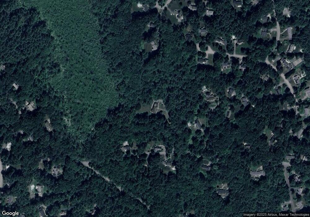
Map
Nearby Homes
- 96 Newtown Rd
- 33 Meadowbrook Rd
- 103 Nagog Hill Rd
- 79 Charter Rd
- 11 Braebrook
- 524 Main St
- 18 Hayward Rd
- 491 Main St
- 5 Perkins Ln
- 709 Main St
- 159 Skyline Dr Unit 159
- 4 Omega Way
- 46 Taylor Rd
- 6 Old Village Rd
- 20 Joseph Reed Ln
- 35 Greenside Ln Unit 35
- 380 Great Rd Unit B301
- 380A Great Rd Unit 301
- 4 Littlefield Rd
- 388 Great Rd Unit A9
- 48 Hammond St
- 36 Hammond St
- 34 Hammond St
- 52 Hammond St
- 49 Hammond St
- 43 Hammond St
- 20 Willis Holden Dr
- 20 Samuel Parlin Dr
- 57 Hammond St
- 18 Samuel Parlin Dr
- 21 Samuel Parlin Dr
- 22 Willis Holden Dr
- 56 Hammond St
- 16 Samuel Parlin Dr
- 19 Samuel Parlin Dr
- 18 Willis Holden Dr
- 17 Samuel Parlin Dr
- 24 Willis Holden Dr
- 60 Hammond St
- 16 Willis Holden Dr
Your Personal Tour Guide
Ask me questions while you tour the home.