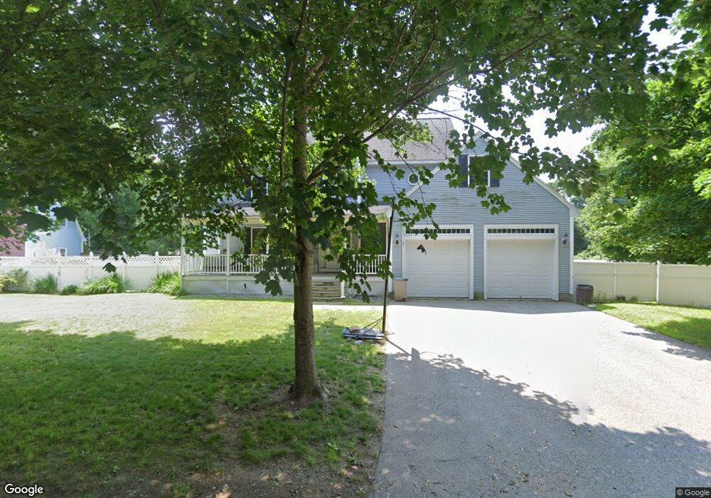
44 Hatch St Haverhill, MA 01832
Bradley Brook NeighborhoodEstimated Value: $569,000 - $765,000
3
Beds
3
Baths
2,302
Sq Ft
$304/Sq Ft
Est. Value
About This Home
This home is located at 44 Hatch St, Haverhill, MA 01832 and is currently estimated at $699,873, approximately $304 per square foot. 44 Hatch St is a home located in Essex County with nearby schools including Tilton Elementary School, Consentino Middle School, and Haverhill High School.
Ownership History
Date
Name
Owned For
Owner Type
Purchase Details
Closed on
Feb 18, 2014
Sold by
Mena Rafael and Rheaume Michelle
Bought by
Rheaume Michelle
Current Estimated Value
Purchase Details
Closed on
Oct 25, 2006
Sold by
Rheaume Catherine E and Rheaume Normand P
Bought by
Mena Rafael S
Home Financials for this Owner
Home Financials are based on the most recent Mortgage that was taken out on this home.
Original Mortgage
$237,500
Interest Rate
6.48%
Mortgage Type
Purchase Money Mortgage
Create a Home Valuation Report for This Property
The Home Valuation Report is an in-depth analysis detailing your home's value as well as a comparison with similar homes in the area
Home Values in the Area
Average Home Value in this Area
Purchase History
| Date | Buyer | Sale Price | Title Company |
|---|---|---|---|
| Rheaume Michelle | -- | -- | |
| Mena Rafael S | $250,000 | -- |
Source: Public Records
Mortgage History
| Date | Status | Borrower | Loan Amount |
|---|---|---|---|
| Previous Owner | Mena Rafael S | $238,700 | |
| Previous Owner | Mena Rafael S | $237,500 |
Source: Public Records
Tax History Compared to Growth
Tax History
| Year | Tax Paid | Tax Assessment Tax Assessment Total Assessment is a certain percentage of the fair market value that is determined by local assessors to be the total taxable value of land and additions on the property. | Land | Improvement |
|---|---|---|---|---|
| 2025 | $6,589 | $615,200 | $182,700 | $432,500 |
| 2024 | $6,234 | $585,900 | $166,700 | $419,200 |
| 2023 | $6,125 | $549,300 | $166,700 | $382,600 |
| 2022 | $5,910 | $464,600 | $152,300 | $312,300 |
| 2021 | $5,775 | $429,700 | $142,700 | $287,000 |
| 2020 | $5,652 | $415,600 | $136,200 | $279,400 |
| 2019 | $5,552 | $398,000 | $118,600 | $279,400 |
| 2018 | $5,330 | $373,800 | $112,200 | $261,600 |
| 2017 | $5,326 | $355,300 | $109,000 | $246,300 |
| 2016 | $5,230 | $340,500 | $99,400 | $241,100 |
| 2015 | $5,227 | $340,500 | $99,400 | $241,100 |
Source: Public Records
Map
Nearby Homes
- 635 W Lowell Ave Unit 7
- 15 Forest St Unit B
- 23 Sylvan Hill Crossing
- 10 Sylvan Hill Crossing
- 28 Morgan Dr
- 165 Mercury Terrace
- 80 Perkins Ct Unit 80
- 43 Mercury Terrace
- 216 Morgan Dr Unit 216
- 6 Ryan Patrick Way
- 70 Birch Ave
- 27 Viola Ave
- 12 Perkins Ct Unit 12
- 27 Littlefield Ct Unit 27
- 1376 River St Unit 1
- 1 W Parish Ct
- 43 W Parish Ct Unit 30-A
- 33 Lake St
- 3 Michael Anthony Rd
- 17 Scotland Heights Rd
- 40 Hatch St
- 674 W Lowell Ave
- 669 W Lowell Ave
- 665 W Lowell Ave
- 34 Hatch St
- 40 Booth St
- 661 W Lowell Ave
- 644 W Lowell Ave
- 28 Hatch St
- 682 W Lowell Ave
- 680 W Lowell Ave
- 682 W Lowell Ave Unit 682
- 680 W Lowell Ave Unit 680
- 682 W Lowell Ave Unit 2
- 25 Booth St
- 675 W Lowell Ave
- 43 Dale St
- 43 Dale St Unit 1 01
- 45 Dale St
- 45 Dale St Unit 45