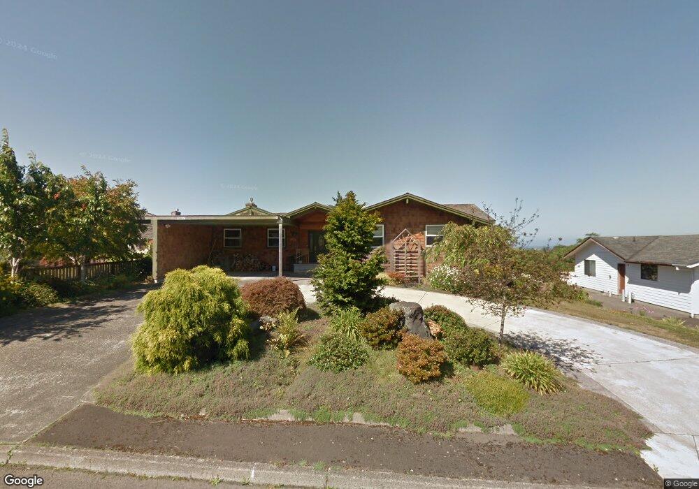
44 Hilltop Dr Seaside, OR 97138
Estimated Value: $745,000 - $886,000
4
Beds
3
Baths
2,494
Sq Ft
$332/Sq Ft
Est. Value
About This Home
This home is located at 44 Hilltop Dr, Seaside, OR 97138 and is currently estimated at $828,626, approximately $332 per square foot. 44 Hilltop Dr is a home located in Clatsop County with nearby schools including Seaside High School.
Ownership History
Date
Name
Owned For
Owner Type
Purchase Details
Closed on
Jun 26, 2021
Sold by
Rice Pamela and Irene T Kan Living Trust
Bought by
Kan Enterprises Llc
Current Estimated Value
Purchase Details
Closed on
Jan 23, 2009
Sold by
Kan Warren and Kan Irene T
Bought by
Kan Irene T and Irene T Kan Living Trust
Purchase Details
Closed on
Nov 7, 2008
Sold by
Poole David
Bought by
Citibank Na
Purchase Details
Closed on
Feb 3, 2005
Sold by
Cole E Roy and Cole Mary C
Bought by
Pitman David M
Create a Home Valuation Report for This Property
The Home Valuation Report is an in-depth analysis detailing your home's value as well as a comparison with similar homes in the area
Home Values in the Area
Average Home Value in this Area
Purchase History
| Date | Buyer | Sale Price | Title Company |
|---|---|---|---|
| Kan Enterprises Llc | -- | None Available | |
| Kan Irene T | -- | None Available | |
| Citibank Na | $356,238 | Fidelity | |
| Pitman David M | -- | Fidelity |
Source: Public Records
Tax History Compared to Growth
Tax History
| Year | Tax Paid | Tax Assessment Tax Assessment Total Assessment is a certain percentage of the fair market value that is determined by local assessors to be the total taxable value of land and additions on the property. | Land | Improvement |
|---|---|---|---|---|
| 2025 | $7,160 | $498,280 | -- | -- |
| 2024 | $6,950 | $483,768 | -- | -- |
| 2023 | $6,744 | $469,679 | $0 | $0 |
| 2022 | $6,560 | $456,000 | $0 | $0 |
| 2021 | $6,421 | $442,719 | $0 | $0 |
| 2020 | $6,271 | $429,825 | $0 | $0 |
| 2019 | $6,100 | $417,307 | $0 | $0 |
| 2018 | $5,858 | $405,153 | $0 | $0 |
| 2017 | $5,591 | $393,354 | $0 | $0 |
| 2016 | $4,917 | $381,898 | $97,600 | $284,298 |
| 2015 | $4,789 | $370,776 | $94,758 | $276,018 |
| 2014 | $4,775 | $359,978 | $0 | $0 |
| 2013 | -- | $349,494 | $0 | $0 |
Source: Public Records
Map
Nearby Homes
- 360 Hilltop Dr
- 1659 Whispering Pines Dr
- 405 S Wahanna Rd
- 343 Hemlock St
- 0 Alpine St Unit 601537278
- 1269 Avenue D
- 1265 Avenue D
- 481 Hillside Loop
- 1299 6th Ave
- 1110 6th Ave
- 1116 6th Ave
- 1295 Jeffrey Dr
- VL Spruce Dr
- 0 Spruce Dr Unit 682748764
- 0 Vacant Land Unit 159249124
- 830 Oceanway St
- 321 N Holladay Dr
- 845 9th Ave
- 1350 13th Ave
- 815 N King St