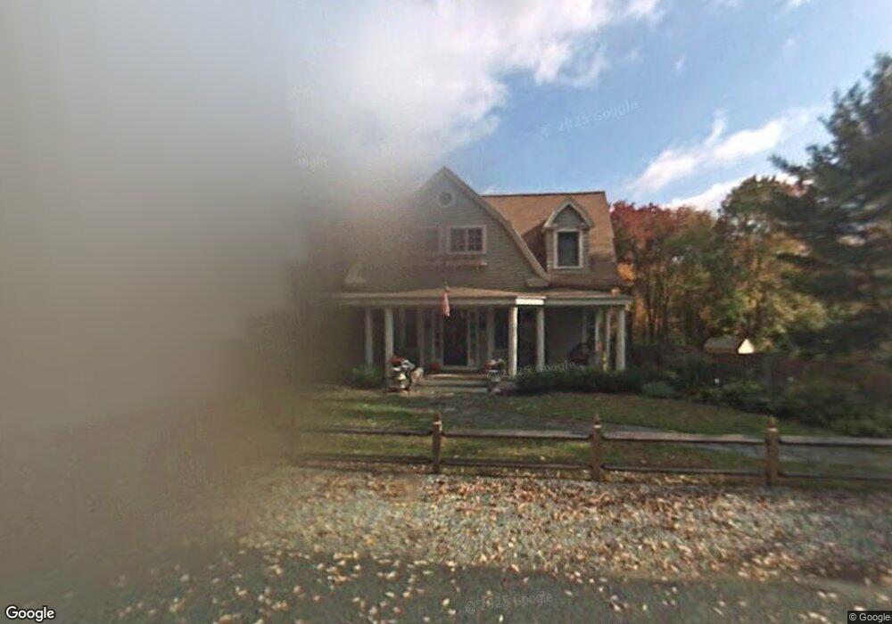
44 Holt Rd Andover, MA 01810
Phillips Academy NeighborhoodEstimated Value: $1,198,000 - $1,610,000
4
Beds
3
Baths
2,652
Sq Ft
$542/Sq Ft
Est. Value
About This Home
This home is located at 44 Holt Rd, Andover, MA 01810 and is currently estimated at $1,438,427, approximately $542 per square foot. 44 Holt Rd is a home located in Essex County with nearby schools including Bancroft Elementary School, Doherty Middle School, and Andover High School.
Ownership History
Date
Name
Owned For
Owner Type
Purchase Details
Closed on
Oct 31, 2016
Sold by
Williams Jeryl
Bought by
Angle Peter and Mathias Mia D
Current Estimated Value
Home Financials for this Owner
Home Financials are based on the most recent Mortgage that was taken out on this home.
Original Mortgage
$595,000
Outstanding Balance
$461,866
Interest Rate
3%
Mortgage Type
Purchase Money Mortgage
Estimated Equity
$976,561
Create a Home Valuation Report for This Property
The Home Valuation Report is an in-depth analysis detailing your home's value as well as a comparison with similar homes in the area
Home Values in the Area
Average Home Value in this Area
Purchase History
We collect this data history from publicly available records. To have your information removed, we recommend requesting removal directly through your county’s website.
| Date | Buyer | Sale Price | Title Company |
|---|---|---|---|
| Angle Peter | $965,000 | -- |
Source: Public Records
Mortgage History
We collect this data history from publicly available records. To have your information removed, we recommend requesting removal directly through your county’s website.
| Date | Status | Borrower | Loan Amount |
|---|---|---|---|
| Open | Angle Peter | $595,000 |
Source: Public Records
Tax History
| Year | Tax Paid | Tax Assessment Tax Assessment Total Assessment is a certain percentage of the fair market value that is determined by local assessors to be the total taxable value of land and additions on the property. | Land | Improvement |
|---|---|---|---|---|
| 2025 | $15,626 | $1,251,100 | $647,300 | $603,800 |
| 2024 | $14,180 | $1,100,900 | $593,000 | $507,900 |
| 2023 | $13,551 | $992,000 | $534,200 | $457,800 |
| 2022 | $12,995 | $890,100 | $472,800 | $417,300 |
| 2021 | $12,437 | $813,400 | $429,700 | $383,700 |
| 2020 | $11,930 | $794,800 | $419,300 | $375,500 |
| 2019 | $11,743 | $769,000 | $403,000 | $366,000 |
| 2018 | $11,214 | $717,000 | $380,000 | $337,000 |
| 2017 | $10,728 | $706,700 | $372,500 | $334,200 |
| 2016 | $10,473 | $706,700 | $372,500 | $334,200 |
| 2015 | $10,085 | $673,700 | $358,300 | $315,400 |
Source: Public Records
Map
Nearby Homes
Your Personal Tour Guide
Ask me questions while you tour the home.