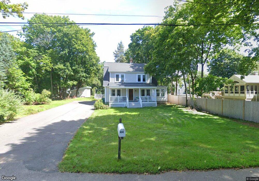
44 James St Mansfield, MA 02048
Estimated Value: $598,000 - $674,000
3
Beds
1
Bath
1,587
Sq Ft
$402/Sq Ft
Est. Value
About This Home
This home is located at 44 James St, Mansfield, MA 02048 and is currently estimated at $638,265, approximately $402 per square foot. 44 James St is a home located in Bristol County with nearby schools including Everett W. Robinson Elementary School, Jordan/Jackson Elementary School, and Harold L. Qualters Middle School.
Ownership History
Date
Name
Owned For
Owner Type
Purchase Details
Closed on
May 29, 1991
Sold by
Domurad John J M
Bought by
Orrell Donald E and Orrell Pamela
Current Estimated Value
Home Financials for this Owner
Home Financials are based on the most recent Mortgage that was taken out on this home.
Original Mortgage
$141,600
Interest Rate
9.35%
Mortgage Type
Purchase Money Mortgage
Create a Home Valuation Report for This Property
The Home Valuation Report is an in-depth analysis detailing your home's value as well as a comparison with similar homes in the area
Home Values in the Area
Average Home Value in this Area
Purchase History
| Date | Buyer | Sale Price | Title Company |
|---|---|---|---|
| Orrell Donald E | $139,000 | -- |
Source: Public Records
Mortgage History
| Date | Status | Borrower | Loan Amount |
|---|---|---|---|
| Open | Orrell Donald E | $117,000 | |
| Closed | Orrell Donald E | $140,300 | |
| Closed | Orrell Donald E | $141,600 |
Source: Public Records
Tax History
| Year | Tax Paid | Tax Assessment Tax Assessment Total Assessment is a certain percentage of the fair market value that is determined by local assessors to be the total taxable value of land and additions on the property. | Land | Improvement |
|---|---|---|---|---|
| 2025 | $7,201 | $546,800 | $272,500 | $274,300 |
| 2024 | $7,379 | $546,600 | $284,300 | $262,300 |
| 2023 | $7,184 | $509,900 | $284,300 | $225,600 |
| 2022 | $7,040 | $464,100 | $263,200 | $200,900 |
| 2021 | $0 | $412,200 | $219,400 | $192,800 |
| 2020 | $5,938 | $386,600 | $219,400 | $167,200 |
| 2019 | $5,662 | $372,000 | $182,700 | $189,300 |
| 2018 | $5,436 | $355,000 | $174,200 | $180,800 |
| 2017 | $5,206 | $346,600 | $169,200 | $177,400 |
| 2016 | $4,927 | $319,700 | $161,100 | $158,600 |
| 2015 | $4,745 | $306,100 | $161,100 | $145,000 |
Source: Public Records
Map
Nearby Homes
- 44 Fairfield Park Unit 44
- 97 East St
- 28 Court St
- 7 Fieldstone Dr
- 1 Deer Path Ln
- 46 Hope St
- 122 Samoset Ave
- 150 Rumford Ave Unit 110
- 22 Pleasant St Unit B
- 166 Chauncy St
- 25 Kingman Ave
- 14 Windchime Dr
- 28 Angell St
- 619 N Main St
- 631 East St Unit L101
- 19 Barberry Rd
- 16 Holly Rd
- 1769 West St
- 356 Central St
- 16 County St
Your Personal Tour Guide
Ask me questions while you tour the home.