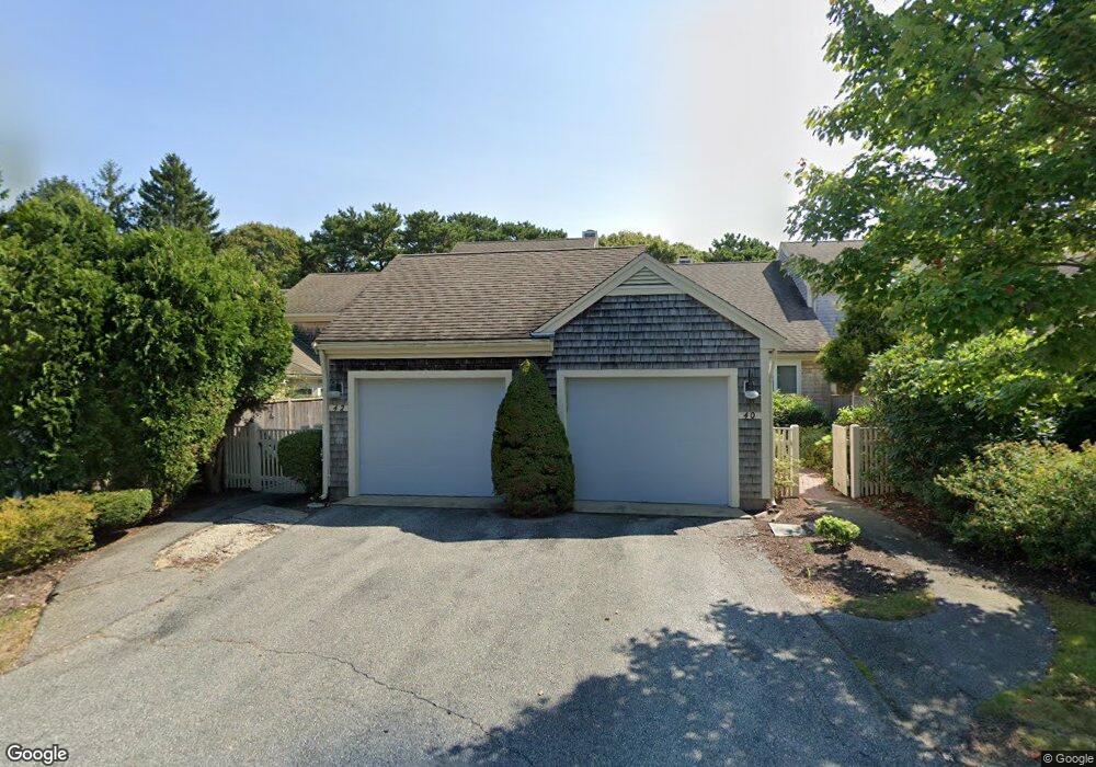
44 Kates Path Yarmouth Port, MA 02675
Yarmouth Port NeighborhoodEstimated Value: $579,000 - $628,000
2
Beds
3
Baths
1,460
Sq Ft
$407/Sq Ft
Est. Value
About This Home
This home is located at 44 Kates Path, Yarmouth Port, MA 02675 and is currently estimated at $594,614, approximately $407 per square foot. 44 Kates Path is a home located in Barnstable County with nearby schools including Dennis-Yarmouth Regional High School.
Ownership History
Date
Name
Owned For
Owner Type
Purchase Details
Closed on
Jul 30, 2025
Sold by
Mccullough Richard and Wabaunsee Rissa
Bought by
Rissa M Wabaunsee Lt and Wabaunsee
Current Estimated Value
Purchase Details
Closed on
Dec 16, 2013
Sold by
Lydecker Marjorie H
Bought by
Mccullough Richard and Wabaunsee Rissa
Home Financials for this Owner
Home Financials are based on the most recent Mortgage that was taken out on this home.
Original Mortgage
$195,000
Interest Rate
3%
Mortgage Type
Adjustable Rate Mortgage/ARM
Purchase Details
Closed on
Jun 25, 2008
Sold by
Lydecker Kenneth R and Lydecker Marjorie H
Bought by
Lydecker Marjorie H
Purchase Details
Closed on
Nov 3, 2003
Sold by
44 Kates Path Village and Averback
Bought by
Lydecker Kenneth R and Lydecker Marjorie H
Create a Home Valuation Report for This Property
The Home Valuation Report is an in-depth analysis detailing your home's value as well as a comparison with similar homes in the area
Home Values in the Area
Average Home Value in this Area
Purchase History
| Date | Buyer | Sale Price | Title Company |
|---|---|---|---|
| Rissa M Wabaunsee Lt | -- | -- | |
| Mccullough Richard | $260,000 | -- | |
| Mccullough Richard | $260,000 | -- | |
| Lydecker Marjorie H | -- | -- | |
| Lydecker Kenneth R | $360,000 | -- | |
| Lydecker Kenneth R | $360,000 | -- |
Source: Public Records
Mortgage History
| Date | Status | Borrower | Loan Amount |
|---|---|---|---|
| Previous Owner | Mccullough Richard | $195,000 |
Source: Public Records
Tax History Compared to Growth
Tax History
| Year | Tax Paid | Tax Assessment Tax Assessment Total Assessment is a certain percentage of the fair market value that is determined by local assessors to be the total taxable value of land and additions on the property. | Land | Improvement |
|---|---|---|---|---|
| 2025 | $3,578 | $505,400 | $0 | $505,400 |
| 2024 | $3,357 | $454,900 | $0 | $454,900 |
| 2023 | $3,265 | $402,600 | $0 | $402,600 |
| 2022 | $3,874 | $422,000 | $0 | $422,000 |
| 2021 | $3,594 | $375,900 | $0 | $375,900 |
| 2020 | $3,626 | $362,600 | $0 | $362,600 |
| 2019 | $3,400 | $336,600 | $0 | $336,600 |
| 2018 | $3,196 | $310,600 | $0 | $310,600 |
| 2017 | $2,982 | $297,600 | $0 | $297,600 |
| 2016 | $2,840 | $284,600 | $0 | $284,600 |
| 2015 | $2,844 | $283,300 | $0 | $283,300 |
Source: Public Records
Map
Nearby Homes
- 64 Kates Path
- 17 Kates Path Unit A
- 228 Kates Path
- 43 Canterbury Rd
- 19 John Halls Cartpath Village Unit E
- 158 Kates Path
- 19 John Hall Cartway Unit E
- 50 John Hall Cartway
- 50 John Hall Cartway Unit 50
- 42 John Hall Cartway Unit 42
- 44 Stratford Ln
- 28 Oak Glen
- 25 Oak Glen Village Unit 25
- 25 Oak Glen
- 800 Route 6a
- 800 Route 6a
- 30 W Woods
- 30 W Woods Cir Unit 30
- 2 Pine Grove
- 21 Boxwood Cir
- 46 Kates Path
- 42 Kates Path
- 40 Kates Path
- 36 Kates Path
- 46 Kate's Path Unit 46
- 42 Kates Path Unit B
- 44 Kates Path Unit 44C
- 38 Kates Path Unit C
- 42 Kates Path Unit B
- 40 Kates Path Unit A
- 42 Kates Path Unit 42
- 46 Kates Path Unit E
- 42 Kate's Point Unit B
- 60 Kate's Point Unit 60
- 34 Kates Path
- 28 Kates Path
- 34 Kates Path Unit 34
- 34 Kates Path Unit D
- 28 Kates Village Path Unit 28
- 34 Kates Village D