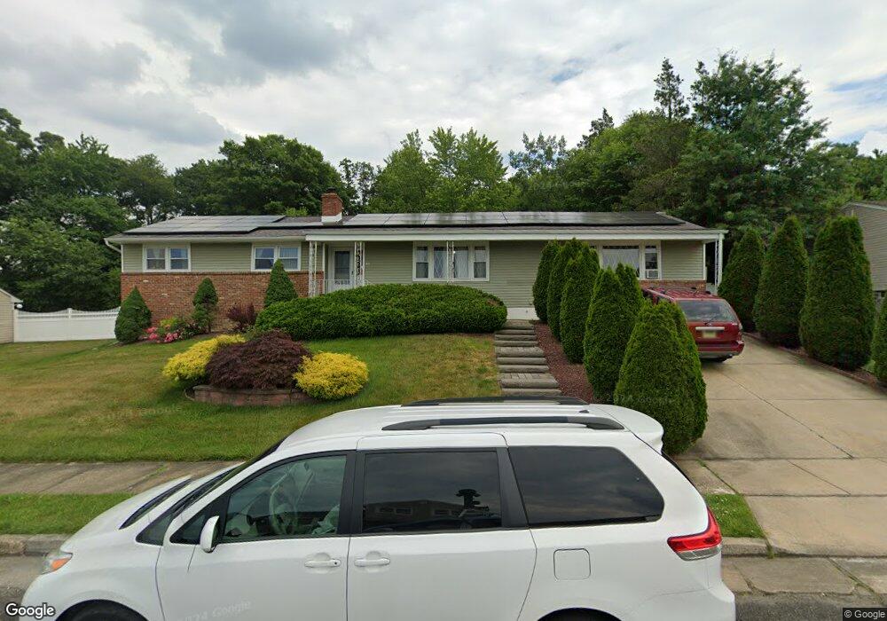
44 Kierst St Parlin, NJ 08859
Estimated Value: $555,000 - $683,000
4
Beds
2
Baths
--
Sq Ft
10,019
Sq Ft Lot
About This Home
This home is located at 44 Kierst St, Parlin, NJ 08859 and is currently estimated at $624,284. 44 Kierst St is a home located in Middlesex County with nearby schools including Sayreville War Memorial High School and New Road School of Parlin.
Ownership History
Date
Name
Owned For
Owner Type
Purchase Details
Closed on
Mar 2, 2011
Sold by
Deutsche Bank National Trust Company
Bought by
Ali Samreen and Abbas Syed
Current Estimated Value
Home Financials for this Owner
Home Financials are based on the most recent Mortgage that was taken out on this home.
Original Mortgage
$233,916
Outstanding Balance
$150,625
Interest Rate
3.5%
Mortgage Type
FHA
Estimated Equity
$473,659
Purchase Details
Closed on
Oct 6, 2010
Sold by
Carey Michael and Carey Colleen
Bought by
Deutsche Bank National Trust Company
Purchase Details
Closed on
May 25, 1999
Sold by
Jedwabnik Edward
Bought by
Carey Michael and Carey Colleen
Home Financials for this Owner
Home Financials are based on the most recent Mortgage that was taken out on this home.
Original Mortgage
$182,495
Interest Rate
7.49%
Mortgage Type
FHA
Create a Home Valuation Report for This Property
The Home Valuation Report is an in-depth analysis detailing your home's value as well as a comparison with similar homes in the area
Home Values in the Area
Average Home Value in this Area
Purchase History
| Date | Buyer | Sale Price | Title Company |
|---|---|---|---|
| Ali Samreen | $240,000 | None Available | |
| Deutsche Bank National Trust Company | -- | None Available | |
| Carey Michael | $184,000 | -- |
Source: Public Records
Mortgage History
| Date | Status | Borrower | Loan Amount |
|---|---|---|---|
| Open | Ali Samreen | $233,916 | |
| Previous Owner | Carey Michael | $182,495 |
Source: Public Records
Tax History Compared to Growth
Tax History
| Year | Tax Paid | Tax Assessment Tax Assessment Total Assessment is a certain percentage of the fair market value that is determined by local assessors to be the total taxable value of land and additions on the property. | Land | Improvement |
|---|---|---|---|---|
| 2025 | $10,226 | $167,500 | $60,000 | $107,500 |
| 2024 | $9,943 | $167,500 | $60,000 | $107,500 |
| 2023 | $9,943 | $167,500 | $60,000 | $107,500 |
| 2022 | $9,288 | $167,500 | $60,000 | $107,500 |
| 2021 | $8,516 | $167,500 | $60,000 | $107,500 |
| 2020 | $8,953 | $167,500 | $60,000 | $107,500 |
| 2019 | $8,765 | $167,500 | $60,000 | $107,500 |
| 2018 | $8,608 | $167,500 | $60,000 | $107,500 |
| 2017 | $8,409 | $167,500 | $60,000 | $107,500 |
| 2016 | $8,184 | $167,500 | $60,000 | $107,500 |
| 2015 | $7,998 | $167,500 | $60,000 | $107,500 |
| 2014 | $7,784 | $167,500 | $60,000 | $107,500 |
Source: Public Records
Map
Nearby Homes
- 38 Holly Dr
- 1075 Bordentown Ave
- 2 Haven Terrace
- 10 Holly Dr
- 10 Vincent St
- 3 Campbell Dr
- 3350 Washington Rd
- 107 Ernston Rd
- 45 Chatham Square Unit B145
- 84 Albert Dr
- 5 Gardner Place
- 2950 Washington Rd
- 94 Albert Dr
- 25 Eugene Blvd
- 1774 Old Cheesequake Rd
- 24 Eugene Blvd
- 26 Kendall Dr
- 90 Farnham Square Unit 290
- 87 Farnham Square Unit 287
- 11 Borelle Square