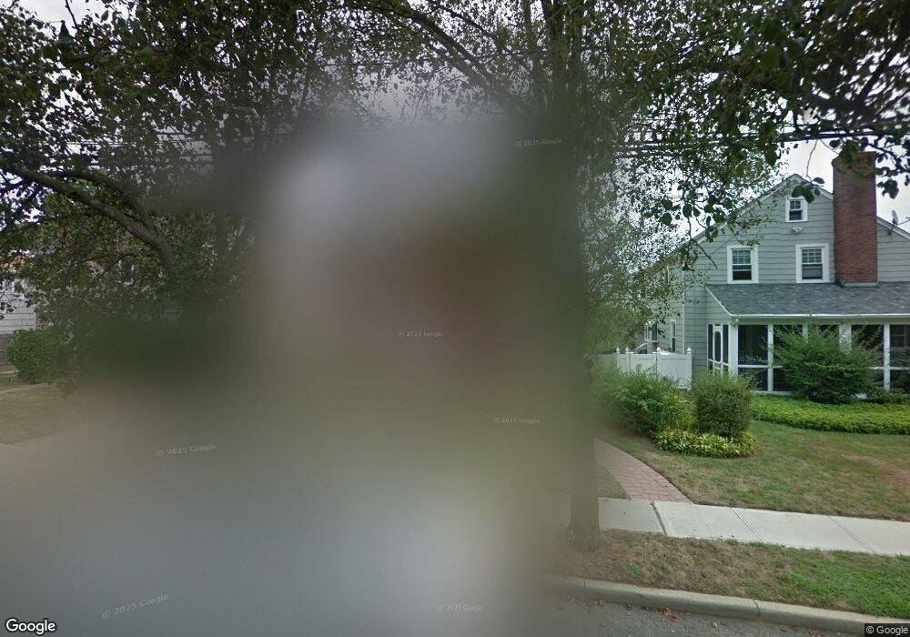
44 King St Freeport, NY 11520
Estimated Value: $689,338 - $706,000
Studio
2
Baths
1,954
Sq Ft
$357/Sq Ft
Est. Value
About This Home
This home is located at 44 King St, Freeport, NY 11520 and is currently estimated at $697,669, approximately $357 per square foot. 44 King St is a home located in Nassau County with nearby schools including Roosevelt Middle School, Roosevelt High School, and Roosevelt Children's Academy.
Ownership History
Date
Name
Owned For
Owner Type
Purchase Details
Closed on
Apr 30, 2012
Sold by
Tatham Cristal K and Tatcham Cristal K
Bought by
Lloyd Jacklyn
Current Estimated Value
Home Financials for this Owner
Home Financials are based on the most recent Mortgage that was taken out on this home.
Original Mortgage
$191,900
Interest Rate
3.87%
Mortgage Type
FHA
Purchase Details
Closed on
Mar 14, 2007
Sold by
Tavares Nelson
Bought by
Tatcham Cristal
Purchase Details
Closed on
Oct 25, 2005
Sold by
Rahynes Myron
Bought by
Tavares Nelson
Purchase Details
Closed on
Jul 13, 2001
Sold by
Rahynes Myron D
Bought by
Mckeever Donald R
Purchase Details
Closed on
Feb 28, 1995
Sold by
Chin Earl and Chin Sonia
Bought by
Mckeever Donald and Mckeever Maxene
Home Financials for this Owner
Home Financials are based on the most recent Mortgage that was taken out on this home.
Original Mortgage
$125,600
Interest Rate
9.09%
Create a Home Valuation Report for This Property
The Home Valuation Report is an in-depth analysis detailing your home's value as well as a comparison with similar homes in the area
Home Values in the Area
Average Home Value in this Area
Purchase History
| Date | Buyer | Sale Price | Title Company |
|---|---|---|---|
| Lloyd Jacklyn | $200,000 | -- | |
| Tatcham Cristal | $460,000 | -- | |
| Tavares Nelson | $410,000 | -- | |
| Mckeever Donald R | $256,000 | Jack Bleier | |
| Mckeever Donald | $157,000 | -- |
Source: Public Records
Mortgage History
| Date | Status | Borrower | Loan Amount |
|---|---|---|---|
| Previous Owner | Lloyd Jacklyn | $191,900 | |
| Previous Owner | Mckeever Donald | $125,600 |
Source: Public Records
Tax History
| Year | Tax Paid | Tax Assessment Tax Assessment Total Assessment is a certain percentage of the fair market value that is determined by local assessors to be the total taxable value of land and additions on the property. | Land | Improvement |
|---|---|---|---|---|
| 2025 | $4,773 | $396 | $112 | $284 |
| 2024 | $803 | $396 | $112 | $284 |
| 2023 | $4,706 | $396 | $112 | $284 |
| 2022 | $4,706 | $394 | $112 | $282 |
| 2021 | $8,786 | $372 | $105 | $267 |
| 2020 | $6,299 | $609 | $373 | $236 |
| 2019 | $6,111 | $609 | $373 | $236 |
| 2018 | $5,837 | $609 | $0 | $0 |
| 2017 | $4,412 | $609 | $373 | $236 |
| 2016 | $5,326 | $609 | $373 | $236 |
| 2015 | $880 | $609 | $373 | $236 |
| 2014 | $880 | $609 | $373 | $236 |
| 2013 | $831 | $609 | $373 | $236 |
Source: Public Records
Map
Nearby Homes
- 12 King St
- 20 Sterling Place
- 24 Pleasant Ave
- 65 Mount Joy Ave
- 41 W Fulton Ave
- 48 Pleasant Ave
- 111 W Centennial Ave
- 67 Ellison Ave
- 22 Colonial Ave
- 110 Woodside Ave
- 200 Evans Ave
- 119 E Fulton Ave
- 315 Maryland Ave
- 16 Scherer Place
- 156 Brookside Ave
- 160 E Fulton Ave
- 255 Moore Ave
- 201 Brookside Ave
- 188 Woodside Ave
- 139 New York Ave
Your Personal Tour Guide
Ask me questions while you tour the home.