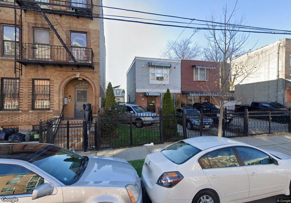
44 Malta St Brooklyn, NY 11207
Brownsville NeighborhoodEstimated Value: $617,353 - $769,000
Studio
--
Bath
1,350
Sq Ft
$520/Sq Ft
Est. Value
About This Home
This home is located at 44 Malta St, Brooklyn, NY 11207 and is currently estimated at $701,838, approximately $519 per square foot. 44 Malta St is a home located in Kings County with nearby schools including P.S. 190 - Sheffield, Achievement First - East New York School, and CAMPA Charter School.
Ownership History
Date
Name
Owned For
Owner Type
Purchase Details
Closed on
Sep 28, 2011
Sold by
Aird Ina D
Bought by
Aird Ina D and Wilkins Jerry
Current Estimated Value
Home Financials for this Owner
Home Financials are based on the most recent Mortgage that was taken out on this home.
Original Mortgage
$182,000
Interest Rate
4.1%
Mortgage Type
Purchase Money Mortgage
Purchase Details
Closed on
Dec 7, 2000
Sold by
Nehemiah Housing Development Fund Co Inc
Bought by
Aird Ina D
Home Financials for this Owner
Home Financials are based on the most recent Mortgage that was taken out on this home.
Original Mortgage
$85,000
Interest Rate
7.69%
Create a Home Valuation Report for This Property
The Home Valuation Report is an in-depth analysis detailing your home's value as well as a comparison with similar homes in the area
Home Values in the Area
Average Home Value in this Area
Purchase History
| Date | Buyer | Sale Price | Title Company |
|---|---|---|---|
| Aird Ina D | -- | -- | |
| Aird Ina D | $110,000 | First American Title Ins Co |
Source: Public Records
Mortgage History
| Date | Status | Borrower | Loan Amount |
|---|---|---|---|
| Previous Owner | Aird Ina D | $182,000 | |
| Previous Owner | Aird Ina D | $85,000 | |
| Closed | Aird Ina D | $20,000 |
Source: Public Records
Tax History
| Year | Tax Paid | Tax Assessment Tax Assessment Total Assessment is a certain percentage of the fair market value that is determined by local assessors to be the total taxable value of land and additions on the property. | Land | Improvement |
|---|---|---|---|---|
| 2025 | $5,511 | $37,860 | $13,980 | $23,880 |
| 2024 | $5,511 | $33,960 | $13,980 | $19,980 |
| 2023 | $4,164 | $36,180 | $13,980 | $22,200 |
| 2022 | $3,782 | $29,820 | $13,980 | $15,840 |
| 2021 | $4,849 | $23,040 | $13,980 | $9,060 |
| 2020 | $2,541 | $25,620 | $12,287 | $13,333 |
| 2019 | $4,526 | $24,300 | $10,967 | $13,333 |
| 2018 | $4,276 | $25,267 | $10,967 | $14,300 |
| 2017 | $3,793 | $24,326 | $10,026 | $14,300 |
| 2016 | $3,257 | $23,440 | $9,140 | $14,300 |
| 2015 | $791 | $23,440 | $9,140 | $14,300 |
| 2014 | $791 | $22,318 | $8,018 | $14,300 |
Source: Public Records
Map
Nearby Homes
- 660 Williams Ave
- 650 Williams Ave
- 719 Alabama Ave
- 1755 Linden Blvd
- 90 Louisiana Ave
- 1753 Linden Blvd
- 589 Hinsdale St
- 610 Alabama Ave
- 494 Hegeman Ave
- 606 Alabama Ave
- 584 Hinsdale St
- 521 Hegeman Ave
- 582 Williams Ave
- 578 Williams Ave
- 202 Malta St
- 753 Pennsylvania Ave
- 749 Pennsylvania Ave
- 738 New Jersey Ave
- 770 Snediker Ave
- 533 Snediker Ave
Your Personal Tour Guide
Ask me questions while you tour the home.