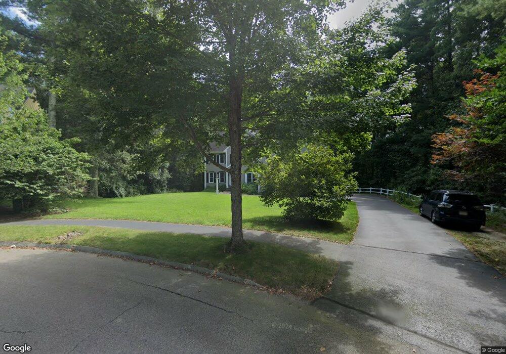
44 Massachusetts Ave Norfolk, MA 02056
Estimated Value: $1,098,180 - $1,346,000
4
Beds
5
Baths
3,318
Sq Ft
$366/Sq Ft
Est. Value
About This Home
This home is located at 44 Massachusetts Ave, Norfolk, MA 02056 and is currently estimated at $1,214,545, approximately $366 per square foot. 44 Massachusetts Ave is a home located in Norfolk County with nearby schools including H. Olive Day School, Freeman-Kennedy School, and Woodside Montessori Academy.
Ownership History
Date
Name
Owned For
Owner Type
Purchase Details
Closed on
Nov 7, 2001
Sold by
Intoccia Dev Corp
Bought by
Breen Charles F and Breen Mica J
Current Estimated Value
Home Financials for this Owner
Home Financials are based on the most recent Mortgage that was taken out on this home.
Original Mortgage
$400,000
Outstanding Balance
$156,916
Interest Rate
6.77%
Mortgage Type
Purchase Money Mortgage
Estimated Equity
$1,057,629
Create a Home Valuation Report for This Property
The Home Valuation Report is an in-depth analysis detailing your home's value as well as a comparison with similar homes in the area
Home Values in the Area
Average Home Value in this Area
Purchase History
| Date | Buyer | Sale Price | Title Company |
|---|---|---|---|
| Breen Charles F | $524,810 | -- |
Source: Public Records
Mortgage History
| Date | Status | Borrower | Loan Amount |
|---|---|---|---|
| Open | Breen Charles F | $400,000 |
Source: Public Records
Tax History Compared to Growth
Tax History
| Year | Tax Paid | Tax Assessment Tax Assessment Total Assessment is a certain percentage of the fair market value that is determined by local assessors to be the total taxable value of land and additions on the property. | Land | Improvement |
|---|---|---|---|---|
| 2025 | $15,917 | $996,700 | $223,600 | $773,100 |
| 2024 | $14,939 | $959,500 | $223,600 | $735,900 |
| 2023 | $14,140 | $861,700 | $223,600 | $638,100 |
| 2022 | $13,186 | $724,500 | $209,100 | $515,400 |
| 2021 | $12,753 | $708,900 | $203,100 | $505,800 |
| 2020 | $13,180 | $707,100 | $184,900 | $522,200 |
| 2019 | $12,307 | $672,900 | $184,900 | $488,000 |
| 2018 | $11,693 | $628,000 | $184,900 | $443,100 |
| 2017 | $11,535 | $633,100 | $184,900 | $448,200 |
| 2016 | $11,070 | $612,300 | $184,900 | $427,400 |
| 2015 | $10,739 | $608,100 | $176,000 | $432,100 |
| 2014 | $10,509 | $602,900 | $176,000 | $426,900 |
Source: Public Records
Map
Nearby Homes
- 27 Whichita Rd
- 29 Wildwood Rd Unit 29
- 23 Algonquin Rd
- 7 Malcolm St
- 10 Stop River Rd
- 53 Thomas Mann Cir Unit 31
- 51 Thomas Mann Unit 30
- 57 Thomas Mann Cir Unit 57
- 63 Thomas Mann Cir Unit 36
- 42 Thomas Mann Unit 39
- 37 Thomas Mann Cir Unit 23
- The Georgetown L Plan at Lakeland Hills
- The Georgetown Grand L Plan at Lakeland Hills
- The Georgetown R Plan at Lakeland Hills
- The Georgetown Grand R Plan at Lakeland Hills
- 28 Thomas Mann Cir Unit Lot 38
- 27 Thomas Mann Cir Unit 18
- 10 Medway St
- 13 Stop River Rd
- 3 Elliot Mills Unit 3
- 46 Massachusetts Ave
- 39 Massachusetts Ave
- 41 Massachusetts Ave
- 21 Pondview Rd
- 19 Pondview Rd
- 6 Cypress Ln
- 17 Pondview Rd
- 15 Cypress Ln
- 31 Turner St
- 20 Pondview Rd
- 18 Pondview Rd
- 33 Turner St
- 29 Turner St
- 27 Turner St
- 16 Pondview Rd
- 15 Pondview Rd
- 36 Massachusetts Ave
- 23 Turner St
- 35 Massachusetts Ave
- 37 Turner St