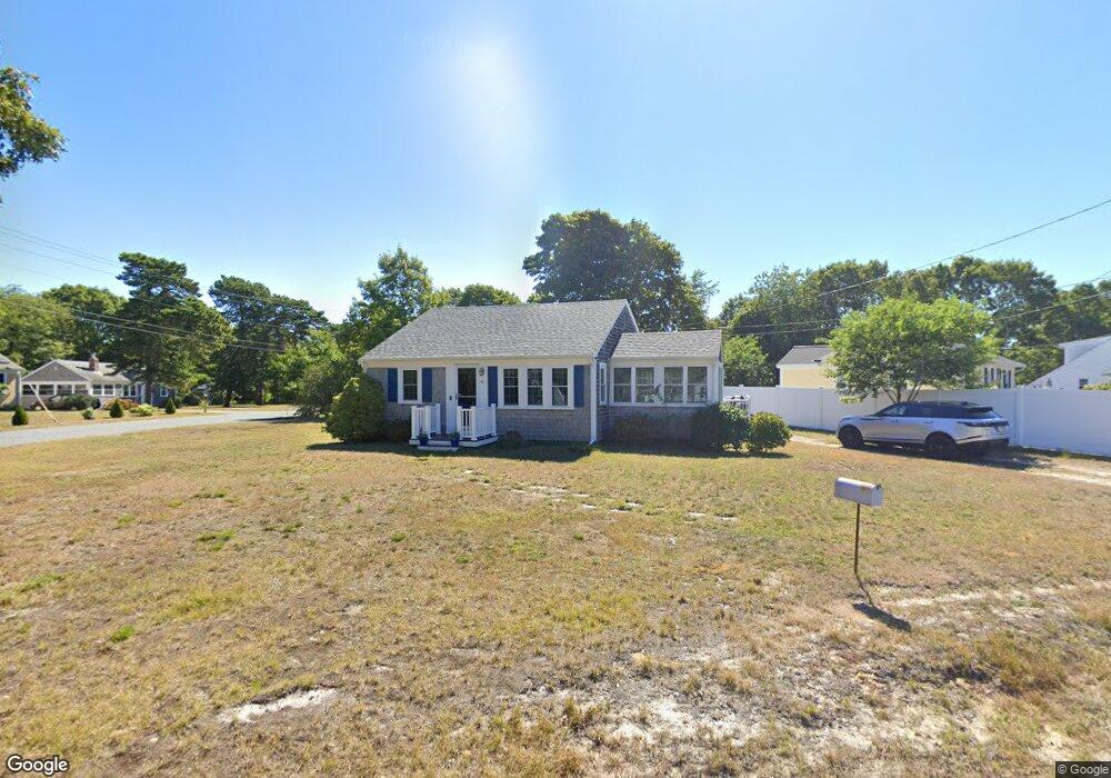
44 McGee St West Yarmouth, MA 02673
West Yarmouth NeighborhoodEstimated Value: $457,536 - $491,000
3
Beds
1
Bath
900
Sq Ft
$522/Sq Ft
Est. Value
About This Home
This home is located at 44 McGee St, West Yarmouth, MA 02673 and is currently estimated at $469,634, approximately $521 per square foot. 44 McGee St is a home located in Barnstable County with nearby schools including Dennis-Yarmouth Regional High School, Sturgis Charter Public School, and St. Pius X. School.
Ownership History
Date
Name
Owned For
Owner Type
Purchase Details
Closed on
Aug 29, 2019
Sold by
Foley Christopher R and Foley Mary T
Bought by
Mary T Foley Ret
Current Estimated Value
Purchase Details
Closed on
Aug 23, 2004
Sold by
Alger Toby S
Bought by
Foley Christopher R and Foley Mary T
Home Financials for this Owner
Home Financials are based on the most recent Mortgage that was taken out on this home.
Original Mortgage
$194,000
Interest Rate
6.03%
Mortgage Type
Purchase Money Mortgage
Purchase Details
Closed on
Feb 13, 2004
Sold by
Corso Melanie A
Bought by
Alger Toby S
Home Financials for this Owner
Home Financials are based on the most recent Mortgage that was taken out on this home.
Original Mortgage
$152,000
Interest Rate
5.82%
Mortgage Type
Purchase Money Mortgage
Create a Home Valuation Report for This Property
The Home Valuation Report is an in-depth analysis detailing your home's value as well as a comparison with similar homes in the area
Home Values in the Area
Average Home Value in this Area
Purchase History
| Date | Buyer | Sale Price | Title Company |
|---|---|---|---|
| Mary T Foley Ret | -- | -- | |
| Foley Christopher R | $254,000 | -- | |
| Alger Toby S | $190,000 | -- |
Source: Public Records
Mortgage History
| Date | Status | Borrower | Loan Amount |
|---|---|---|---|
| Previous Owner | Foley Christopher R | $194,000 | |
| Previous Owner | Alger Toby S | $152,000 |
Source: Public Records
Tax History Compared to Growth
Tax History
| Year | Tax Paid | Tax Assessment Tax Assessment Total Assessment is a certain percentage of the fair market value that is determined by local assessors to be the total taxable value of land and additions on the property. | Land | Improvement |
|---|---|---|---|---|
| 2025 | $2,763 | $390,300 | $171,900 | $218,400 |
| 2024 | $2,551 | $345,600 | $145,300 | $200,300 |
| 2023 | $2,560 | $315,700 | $125,800 | $189,900 |
| 2022 | $2,431 | $264,800 | $114,400 | $150,400 |
| 2021 | $2,307 | $241,300 | $114,400 | $126,900 |
| 2020 | $2,272 | $227,200 | $114,400 | $112,800 |
| 2019 | $2,124 | $210,300 | $114,400 | $95,900 |
| 2018 | $1,989 | $193,300 | $97,400 | $95,900 |
| 2017 | $1,850 | $184,600 | $93,200 | $91,400 |
| 2016 | $1,757 | $176,100 | $84,700 | $91,400 |
| 2015 | $1,706 | $169,900 | $84,700 | $85,200 |
Source: Public Records
Map
Nearby Homes
- 6 Checkerberry Ln
- 19 Anthony Rd
- 48 Jerusha Ln
- 503 Route 28 Unit 15
- 503 Route 28 Unit 5
- 503 Route 28 Unit 25
- 8 Nobby Ln
- 2 Sachem Path
- 11 Elizabeth Ln
- 30 Nauset Ln
- 25-27 Merrymount Rd
- 25 & 27 Merrymount Rd
- 9 Roberta Dr
- 55 Pawkannawkut Dr
- 41 Yelverton Ln
- 7 Circuit Rd W
- 21 Schooner St
- 89 Acres Ave
- 38 Traders Ln
- 12 Denver Dr