44 Mountain Laurel Dr Wethersfield, CT 06109
Estimated Value: $174,000 - $225,000
2
Beds
1
Bath
845
Sq Ft
$227/Sq Ft
Est. Value
About This Home
This home is located at 44 Mountain Laurel Dr, Wethersfield, CT 06109 and is currently estimated at $191,603, approximately $226 per square foot. 44 Mountain Laurel Dr is a home located in Hartford County with nearby schools including Alfred W. Hanmer School, Silas Deane Middle School, and Wethersfield High School.
Ownership History
Date
Name
Owned For
Owner Type
Purchase Details
Closed on
Jul 6, 2006
Sold by
Golino Eugenia and Golino Rinaldo
Bought by
Zawadzka Zofia and Zawadski Jan
Current Estimated Value
Home Financials for this Owner
Home Financials are based on the most recent Mortgage that was taken out on this home.
Original Mortgage
$92,800
Outstanding Balance
$54,941
Interest Rate
6.6%
Estimated Equity
$136,662
Purchase Details
Closed on
Mar 28, 1990
Sold by
Ashwood Ct Lp
Bought by
Hewins Kathleen A
Home Financials for this Owner
Home Financials are based on the most recent Mortgage that was taken out on this home.
Original Mortgage
$90,500
Interest Rate
9.96%
Create a Home Valuation Report for This Property
The Home Valuation Report is an in-depth analysis detailing your home's value as well as a comparison with similar homes in the area
Home Values in the Area
Average Home Value in this Area
Purchase History
| Date | Buyer | Sale Price | Title Company |
|---|---|---|---|
| Zawadzka Zofia | $116,000 | -- | |
| Hewins Kathleen A | $92,900 | -- |
Source: Public Records
Mortgage History
| Date | Status | Borrower | Loan Amount |
|---|---|---|---|
| Open | Hewins Kathleen A | $92,800 | |
| Previous Owner | Hewins Kathleen A | $32,000 | |
| Previous Owner | Hewins Kathleen A | $25,650 | |
| Previous Owner | Hewins Kathleen A | $90,500 |
Source: Public Records
Tax History Compared to Growth
Tax History
| Year | Tax Paid | Tax Assessment Tax Assessment Total Assessment is a certain percentage of the fair market value that is determined by local assessors to be the total taxable value of land and additions on the property. | Land | Improvement |
|---|---|---|---|---|
| 2025 | $3,392 | $82,280 | $0 | $82,280 |
| 2024 | $2,413 | $55,820 | $0 | $55,820 |
| 2023 | $2,332 | $55,820 | $0 | $55,820 |
| 2022 | $2,293 | $55,820 | $0 | $55,820 |
| 2021 | $2,270 | $55,820 | $0 | $55,820 |
| 2020 | $2,271 | $55,820 | $0 | $55,820 |
| 2019 | $2,274 | $55,820 | $0 | $55,820 |
| 2018 | $2,524 | $61,900 | $0 | $61,900 |
| 2017 | $2,462 | $61,900 | $0 | $61,900 |
| 2016 | $2,386 | $61,900 | $0 | $61,900 |
| 2015 | $2,364 | $61,900 | $0 | $61,900 |
| 2014 | $2,274 | $61,900 | $0 | $61,900 |
Source: Public Records
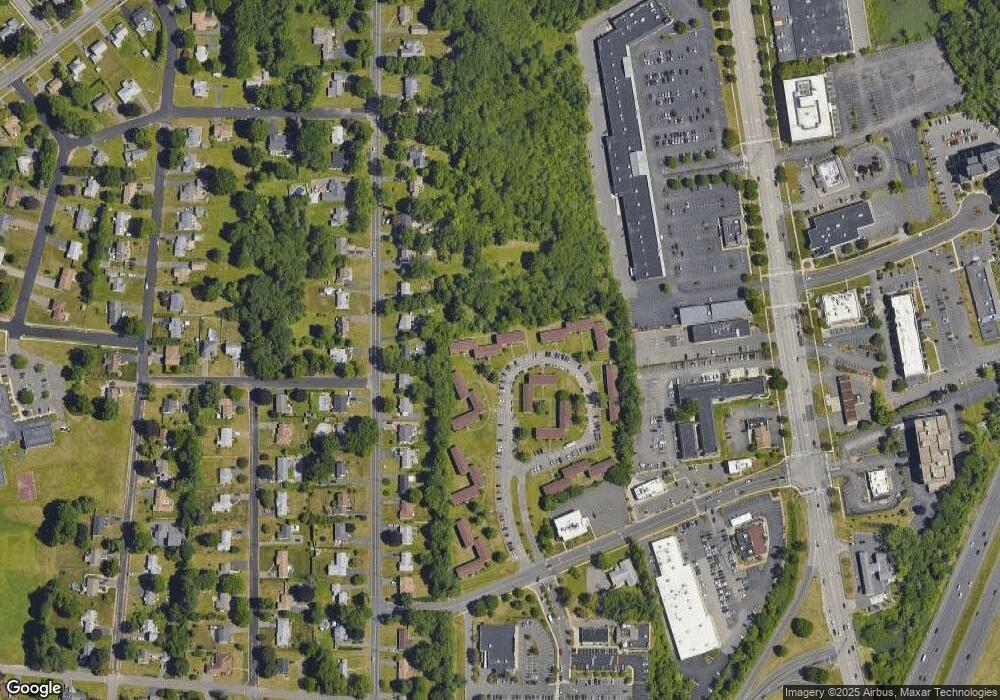
Map
Nearby Homes
- 231 Charter Rd
- 37 Two Stone Dr
- 13 Robbins Ln Unit B
- 1610 Silas Deane Hwy
- 211 Fairlane Dr
- 195 Middletown Ave
- 88 Highland St
- 33 Golf Rd
- 59 Chapin Ave
- 177 Spring St Unit 177
- 268 Fox Hill Rd
- 19 Jacob Dr
- 108 Chamberlain Rd
- 325 Fox Hill Rd
- 35 Stillwold Dr
- 519 Prospect St
- 0 Collier Rd
- 876 Ridge Rd
- 101 Collier Rd
- 33 Olney Rd
- 95 Mountain Laurel Dr
- 93 Mountain Laurel Dr
- 91 Mountain Laurel Dr
- 85 Mountain Laurel Dr
- 84 Mountain Laurel Dr
- 82 Mountain Laurel Dr
- 73 Mountain Laurel Dr
- 70 Mountain Laurel Dr
- 68 Mountain Laurel Dr
- 65 Mountain Laurel Dr
- 63 Mountain Laurel Dr
- 59 Mountain Laurel Dr
- 58 Mountain Laurel Dr
- 57 Mountain Laurel Dr
- 55 Mountain Laurel Dr
- 53 Mountain Laurel Dr
- 49 Mountain Laurel Dr
- 48 Mountain Laurel Dr
- 43 Mountain Laurel Dr
- 39 Mountain Laurel Dr