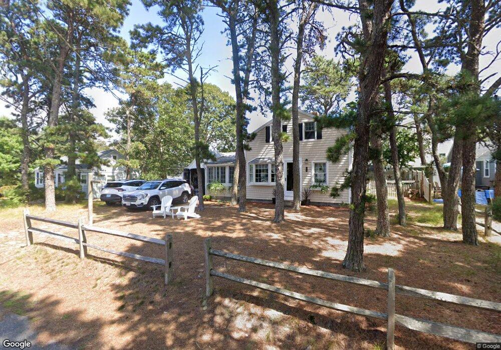
44 Myrtle Rd Dennis Port, MA 02639
Dennis Port NeighborhoodEstimated Value: $506,000 - $606,310
3
Beds
1
Bath
1,036
Sq Ft
$560/Sq Ft
Est. Value
About This Home
This home is located at 44 Myrtle Rd, Dennis Port, MA 02639 and is currently estimated at $579,828, approximately $559 per square foot. 44 Myrtle Rd is a home located in Barnstable County with nearby schools including Dennis-Yarmouth Regional High School and St. Pius X. School.
Ownership History
Date
Name
Owned For
Owner Type
Purchase Details
Closed on
Oct 12, 2021
Sold by
Caponigro Joseph J and Caponigro Pamela
Bought by
J & Pamela Caponigro Ft
Current Estimated Value
Purchase Details
Closed on
Dec 4, 1986
Bought by
Caponigro Joseph J and Caponigro Pamela A
Create a Home Valuation Report for This Property
The Home Valuation Report is an in-depth analysis detailing your home's value as well as a comparison with similar homes in the area
Home Values in the Area
Average Home Value in this Area
Purchase History
| Date | Buyer | Sale Price | Title Company |
|---|---|---|---|
| J & Pamela Caponigro Ft | -- | None Available | |
| Caponigro Joseph J | $129,900 | -- |
Source: Public Records
Mortgage History
| Date | Status | Borrower | Loan Amount |
|---|---|---|---|
| Previous Owner | Caponigro Joseph J | $75,500 |
Source: Public Records
Tax History Compared to Growth
Tax History
| Year | Tax Paid | Tax Assessment Tax Assessment Total Assessment is a certain percentage of the fair market value that is determined by local assessors to be the total taxable value of land and additions on the property. | Land | Improvement |
|---|---|---|---|---|
| 2025 | $2,208 | $509,900 | $286,400 | $223,500 |
| 2024 | $2,168 | $493,800 | $275,400 | $218,400 |
| 2023 | $2,097 | $449,000 | $250,400 | $198,600 |
| 2022 | $1,855 | $331,300 | $197,400 | $133,900 |
| 2021 | $1,797 | $298,000 | $193,500 | $104,500 |
| 2020 | $1,735 | $284,400 | $193,500 | $90,900 |
| 2019 | $1,826 | $296,000 | $206,000 | $90,000 |
| 2018 | $1,739 | $274,300 | $196,100 | $78,200 |
| 2017 | $1,592 | $258,800 | $180,600 | $78,200 |
| 2016 | $1,655 | $253,500 | $170,300 | $83,200 |
| 2015 | $1,622 | $253,500 | $170,300 | $83,200 |
| 2014 | $1,582 | $249,100 | $159,900 | $89,200 |
Source: Public Records
Map
Nearby Homes
- 37-A Beach Hills Rd
- 22 Ferncliff Rd
- 37 Beach Hills Rd
- 102 Sea St
- 262 Old Wharf Rd Unit 67
- 262 Old Wharf Rd Unit 5
- 262 Old Wharf Rd Unit 5
- 262 Old Wharf Rd Unit 20
- 262 Old Wharf Rd Unit 87
- 241 Old Wharf Rd Unit 82
- 241 Old Wharf Rd Unit 127
- 241 Old Wharf Rd Unit 90
- 402 Old Wharf Rd
- 402 Old Wharf Rd
- 405 Old Wharf Rd Unit B204
- 405 Old Wharf Rd Unit B204
- 217 Old Wharf Rd Unit 64
- 31 Easy St
- 9 Chase Ave Unit 6
- 11 Ocean Park W
- 56 Ferncliff Rd
- 42 Myrtle Rd
- 45 Ferncliff Rd
- 49 Ferncliff Rd
- 43 Ferncliff Rd
- 254 Shad Hole Rd
- 60 Ferncliff Rd
- 38 Myrtle Rd
- 53 Ferncliff Rd
- 57 Ferncliff Rd
- 250 Shad Hole Rd
- 37 Myrtle Rd
- 39 Ferncliff Rd
- 61 Ferncliff Rd
- 13 Maloney Ln
- 36 Myrtle Rd
- 48 Ferncliff Rd
- 46 Ferncliff Rd
- 54 Ferncliff Rd
- 264 Shad Hole Rd