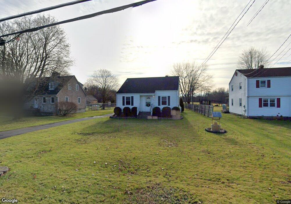
44 Oliver Rd Enfield, CT 06082
Enfield AreaEstimated Value: $312,000 - $327,000
About This Home
This home is located at 44 Oliver Rd, Enfield, CT 06082 and is currently estimated at $317,783, approximately $263 per square foot. 44 Oliver Rd is a home located in Hartford County with nearby schools including Enfield Street Elementary School, Edgar H. Parkman School, and Enfield High School.
Ownership History
We collect this data history from publicly available records. To have your information removed, we recommend requesting removal directly through your county’s website.
Purchase Details
Home Financials for this Owner
Home Financials are based on the most recent Mortgage that was taken out on this home.Purchase Details
Purchase Details
Home Values in the Area
Average Home Value in this Area
Purchase History
We collect this data history from publicly available records. To have your information removed, we recommend requesting removal directly through your county’s website.
| Date | Buyer | Sale Price | Title Company |
|---|---|---|---|
| -- | -- | ||
| $181,000 | -- | ||
| $80,000 | -- |
Mortgage History
We collect this data history from publicly available records. To have your information removed, we recommend requesting removal directly through your county’s website.
| Date | Status | Borrower | Loan Amount |
|---|---|---|---|
| Open | $175,000 | ||
| Previous Owner | $65,000 | ||
| Previous Owner | $98,500 |
Tax History
We collect this data history from publicly available records. To have your information removed, we recommend requesting removal directly through your county’s website.
| Year | Tax Paid | Tax Assessment Tax Assessment Total Assessment is a certain percentage of the fair market value that is determined by local assessors to be the total taxable value of land and additions on the property. | Land | Improvement |
|---|---|---|---|---|
| 2025 | $4,885 | $139,600 | $50,900 | $88,700 |
| 2024 | $4,753 | $139,600 | $50,900 | $88,700 |
| 2023 | $4,718 | $139,600 | $50,900 | $88,700 |
| 2022 | $4,284 | $139,600 | $50,900 | $88,700 |
| 2021 | $4,329 | $115,350 | $42,150 | $73,200 |
| 2020 | $4,329 | $115,350 | $42,150 | $73,200 |
| 2019 | $4,341 | $115,350 | $42,150 | $73,200 |
| 2018 | $4,268 | $115,350 | $42,150 | $73,200 |
| 2017 | $4,029 | $115,350 | $42,150 | $73,200 |
| 2016 | $4,048 | $117,970 | $46,370 | $71,600 |
| 2015 | $3,921 | $117,970 | $46,370 | $71,600 |
| 2014 | $3,820 | $117,970 | $46,370 | $71,600 |
Map
- 75 Oliver Rd
- 92 Post Office Rd
- 103 Post Rd
- 1467 Enfield St
- 34 Litchfield Dr
- 39 Plainfield St
- 13 Tolland Dr
- 146 Post Office Rd
- 20 Meadowlark Rd
- 17 Pioneer Dr
- 3 Wagon Rd
- 6 Grand View Dr
- 10 Pilgrim Cir
- 10 Post Rd
- 1561 King St
- 8 Bridge Ln
- 9 the Hamlet Unit C
- 1 Lois Ln
- 2 Sparkle St
- 188 Post Office Rd Unit 6
- 46 Oliver Rd
- 42 Oliver Rd
- 40 Oliver Rd
- 48 Oliver Rd
- 39 Oliver Rd
- 35 Oliver Rd
- 30 Oliver Rd
- 29 Oliver Rd
- 98 Post Office Rd
- 25 Oliver Rd
- 94 Post Office Rd
- 96 Post Office Rd
- 20 Oliver Rd
- 19 Oliver Rd
- 0 Enfield & Oliver Road St Unit 170412929
- 4 Fairfield Rd
- 6 Fairfield Rd
- 8 Fairfield Rd
- 103 Fairfield Rd
- 101 Fairfield Rd
Ask me questions while you tour the home.