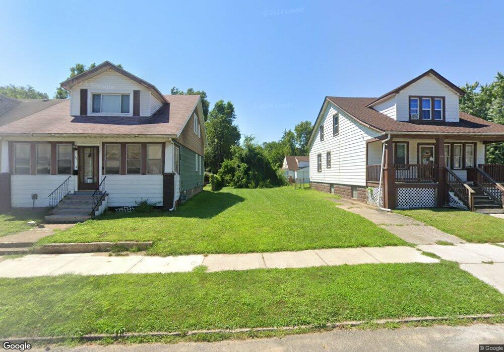
44 Orchard St River Rouge, MI 48218
Estimated Value: $13,000 - $88,807
4
Beds
2
Baths
1,728
Sq Ft
$33/Sq Ft
Est. Value
About This Home
This home is located at 44 Orchard St, River Rouge, MI 48218 and is currently estimated at $56,269, approximately $32 per square foot. 44 Orchard St is a home located in Wayne County with nearby schools including Ann Visger K-5 Preparatory Academy.
Ownership History
Date
Name
Owned For
Owner Type
Purchase Details
Closed on
Jul 29, 2022
Sold by
Wayne Metropolitan Community Action Agen
Bought by
City Of Ecorse
Current Estimated Value
Purchase Details
Closed on
May 10, 2016
Sold by
City Of Ecorse
Bought by
City Of Ecorse
Purchase Details
Closed on
Feb 27, 2014
Sold by
Wayne County Treasurer
Bought by
Treasurer City Of Ecorse
Purchase Details
Closed on
Nov 4, 2010
Sold by
Public Art Workz
Bought by
Afram Jim and Afram Raed
Purchase Details
Closed on
Nov 11, 2009
Sold by
Carnahan Kevin M
Bought by
The Bank Of New York Mellon and The Bank Of New York
Purchase Details
Closed on
Sep 19, 1994
Sold by
Sokolowski Larry J
Bought by
Foster Terry and Shanks Pauline
Home Financials for this Owner
Home Financials are based on the most recent Mortgage that was taken out on this home.
Original Mortgage
$22,778
Interest Rate
8.55%
Mortgage Type
New Conventional
Create a Home Valuation Report for This Property
The Home Valuation Report is an in-depth analysis detailing your home's value as well as a comparison with similar homes in the area
Home Values in the Area
Average Home Value in this Area
Purchase History
| Date | Buyer | Sale Price | Title Company |
|---|---|---|---|
| City Of Ecorse | -- | -- | |
| City Of Ecorse | -- | None Listed On Document | |
| City Of Ecorse | -- | Mta | |
| Treasurer City Of Ecorse | -- | None Available | |
| Afram Jim | $2,500 | None Available | |
| The Bank Of New York Mellon | $9,000 | None Available | |
| Foster Terry | $24,000 | -- |
Source: Public Records
Mortgage History
| Date | Status | Borrower | Loan Amount |
|---|---|---|---|
| Previous Owner | Foster Terry | $22,778 |
Source: Public Records
Tax History Compared to Growth
Tax History
| Year | Tax Paid | Tax Assessment Tax Assessment Total Assessment is a certain percentage of the fair market value that is determined by local assessors to be the total taxable value of land and additions on the property. | Land | Improvement |
|---|---|---|---|---|
| 2025 | -- | $0 | $0 | $0 |
| 2024 | -- | $0 | $0 | $0 |
| 2023 | -- | $0 | $0 | $0 |
| 2022 | -- | $0 | $0 | $0 |
| 2021 | $0 | $0 | $0 | $0 |
| 2020 | $1,295 | $0 | $0 | $0 |
| 2019 | $1,295 | $0 | $0 | $0 |
| 2018 | $0 | $0 | $0 | $0 |
| 2017 | -- | $0 | $0 | $0 |
| 2016 | $3,230 | $0 | $0 | $0 |
| 2013 | $3,230 | $34,600 | $0 | $0 |
| 2012 | $1,295 | $34,600 | $1,700 | $32,900 |
Source: Public Records
Map
Nearby Homes
- 49 Orchard St
- 27 Orchard St
- 19 Orchard St
- 47 E Rockwood St
- 15 Forest St
- 10 E Auburn Ave
- 50 E Rockwood St
- 20 Hill St
- 70 E Rockwood St
- 71 E Glenwood St
- 426 Genessee St
- 50 Abbott St
- 20 W Auburn St
- 37 Le Blanc St
- 40 W Rockwood St
- 16 Alexander St
- 47 W Rockwood St
- 12 Perrin St
- 37 Ruth St
- 99 E Great Lakes St