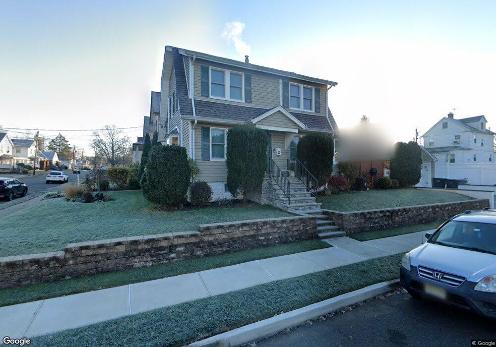
44 Porter Ave Bergenfield, NJ 07621
Estimated Value: $570,922 - $669,000
--
Bed
--
Bath
1,360
Sq Ft
$450/Sq Ft
Est. Value
About This Home
This home is located at 44 Porter Ave, Bergenfield, NJ 07621 and is currently estimated at $611,981, approximately $449 per square foot. 44 Porter Ave is a home located in Bergen County with nearby schools including Bergenfield High School and Academy of Our Lady of Mount Carmel.
Ownership History
Date
Name
Owned For
Owner Type
Purchase Details
Closed on
Aug 22, 2002
Sold by
Thorne John C
Bought by
Davis John W and Davis Iris R
Current Estimated Value
Home Financials for this Owner
Home Financials are based on the most recent Mortgage that was taken out on this home.
Original Mortgage
$259,200
Outstanding Balance
$109,680
Interest Rate
6.55%
Estimated Equity
$502,301
Purchase Details
Closed on
Sep 21, 2000
Bought by
Thorne Donna M Furano
Home Financials for this Owner
Home Financials are based on the most recent Mortgage that was taken out on this home.
Original Mortgage
$33,200
Interest Rate
7.81%
Purchase Details
Closed on
Mar 30, 1999
Sold by
Pizzuto John H and Pizzuto Gina M
Bought by
Thorne John C and Furano Thorne Donna
Home Financials for this Owner
Home Financials are based on the most recent Mortgage that was taken out on this home.
Original Mortgage
$184,050
Interest Rate
6.92%
Mortgage Type
FHA
Create a Home Valuation Report for This Property
The Home Valuation Report is an in-depth analysis detailing your home's value as well as a comparison with similar homes in the area
Home Values in the Area
Average Home Value in this Area
Purchase History
| Date | Buyer | Sale Price | Title Company |
|---|---|---|---|
| Davis John W | $324,000 | -- | |
| Thorne Donna M Furano | -- | -- | |
| Thorne Donna M Furano | -- | -- | |
| Thorne John C | $185,000 | -- |
Source: Public Records
Mortgage History
| Date | Status | Borrower | Loan Amount |
|---|---|---|---|
| Open | Davis John W | $259,200 | |
| Previous Owner | Thorne Donna M Furano | $33,200 | |
| Previous Owner | Thorne John C | $184,050 |
Source: Public Records
Tax History Compared to Growth
Tax History
| Year | Tax Paid | Tax Assessment Tax Assessment Total Assessment is a certain percentage of the fair market value that is determined by local assessors to be the total taxable value of land and additions on the property. | Land | Improvement |
|---|---|---|---|---|
| 2025 | $10,376 | $294,200 | $160,000 | $134,200 |
| 2024 | $10,032 | $294,200 | $160,000 | $134,200 |
| 2023 | $9,876 | $294,200 | $160,000 | $134,200 |
| 2022 | $9,876 | $294,200 | $160,000 | $134,200 |
| 2021 | $9,773 | $294,200 | $160,000 | $134,200 |
| 2020 | $9,709 | $294,200 | $160,000 | $134,200 |
| 2019 | $9,597 | $294,200 | $160,000 | $134,200 |
| 2018 | $9,526 | $294,200 | $160,000 | $134,200 |
| 2017 | $9,479 | $294,200 | $160,000 | $134,200 |
| 2016 | $9,329 | $294,200 | $160,000 | $134,200 |
| 2015 | $9,185 | $294,200 | $160,000 | $134,200 |
| 2014 | $9,017 | $294,200 | $160,000 | $134,200 |
Source: Public Records
Map
Nearby Homes
- 64 Madison Ave
- 248 E Clinton Ave
- 148 Hillside Ave
- 16 Palisade Ave
- 309 E Clinton Ave
- 202 Pleasant Ave
- 241 E Main St Unit 1D
- 241 E Main St Unit 1H
- 14 Magnolia St
- 11 Clyde Ct
- 14 Redwood St
- 305 E Main St
- 44 Bogert Place
- 92 N Taylor St
- 15 Westside Ave
- 151 Mackay Dr
- 24 S Lyle Ave
- 17 S Paula Dr
- 25 Ralph St
- 15 Brown Place