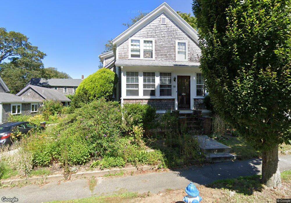
44 Quissett Ave Woods Hole, MA 02543
Woods Hole NeighborhoodEstimated Value: $1,045,000 - $1,247,000
3
Beds
2
Baths
1,412
Sq Ft
$830/Sq Ft
Est. Value
About This Home
This home is located at 44 Quissett Ave, Woods Hole, MA 02543 and is currently estimated at $1,171,497, approximately $829 per square foot. 44 Quissett Ave is a home located in Barnstable County with nearby schools including Mullen-Hall School, Lawrence School, and Morse Pond School.
Ownership History
Date
Name
Owned For
Owner Type
Purchase Details
Closed on
Jun 15, 2021
Sold by
Mccormick Margaret E and Solow Andrew R
Bought by
44 Quissett Avenue Rt and Solow
Current Estimated Value
Purchase Details
Closed on
Jan 4, 1990
Sold by
Seery Robert K
Bought by
Solow Andrew R
Create a Home Valuation Report for This Property
The Home Valuation Report is an in-depth analysis detailing your home's value as well as a comparison with similar homes in the area
Home Values in the Area
Average Home Value in this Area
Purchase History
| Date | Buyer | Sale Price | Title Company |
|---|---|---|---|
| 44 Quissett Avenue Rt | -- | None Available | |
| Solow Andrew R | $215,000 | -- | |
| Solow Andrew R | $215,000 | -- |
Source: Public Records
Mortgage History
| Date | Status | Borrower | Loan Amount |
|---|---|---|---|
| Previous Owner | Solow Andrew R | $104,000 | |
| Previous Owner | Solow Andrew R | $107,500 | |
| Previous Owner | Solow Andrew R | $117,300 | |
| Previous Owner | Solow Andrew R | $118,300 |
Source: Public Records
Tax History Compared to Growth
Tax History
| Year | Tax Paid | Tax Assessment Tax Assessment Total Assessment is a certain percentage of the fair market value that is determined by local assessors to be the total taxable value of land and additions on the property. | Land | Improvement |
|---|---|---|---|---|
| 2025 | $5,821 | $991,700 | $670,200 | $321,500 |
| 2024 | $5,639 | $898,000 | $609,300 | $288,700 |
| 2023 | $5,894 | $851,800 | $609,300 | $242,500 |
| 2022 | $5,055 | $627,900 | $406,700 | $221,200 |
| 2021 | $5,187 | $610,200 | $389,000 | $221,200 |
| 2020 | $4,938 | $574,900 | $353,700 | $221,200 |
| 2019 | $4,832 | $564,500 | $353,700 | $210,800 |
| 2018 | $4,776 | $553,000 | $353,700 | $199,300 |
| 2017 | $4,561 | $534,700 | $353,700 | $181,000 |
| 2016 | $4,475 | $534,700 | $353,700 | $181,000 |
| 2015 | $4,342 | $530,100 | $353,700 | $176,400 |
| 2014 | $4,119 | $505,400 | $353,600 | $151,800 |
Source: Public Records
Map
Nearby Homes
- 10 Quissett Ave
- 82 Harbor Hill Rd
- 54 Whitman Rd
- 5 Park Rd
- 14 School St
- 9 Strawberry Hill Rd
- 9 Strawberry Hill Rd
- 533 Woods Hole Rd Unit B101
- 533 Woods Hole Rd Unit D101
- 533 Woods Hole Rd Unit B102
- 533 Woods Hole Rd Unit E202
- 533 Woods Hole Rd Unit E301
- 29 Wilson Rd
- 76 F r Lillie Rd
- 251 Woods Hole Rd
- 44 Carey Ln
- 87 Oyster Pond Rd
- 38 Landfall Unit 38
- 38 Landfall