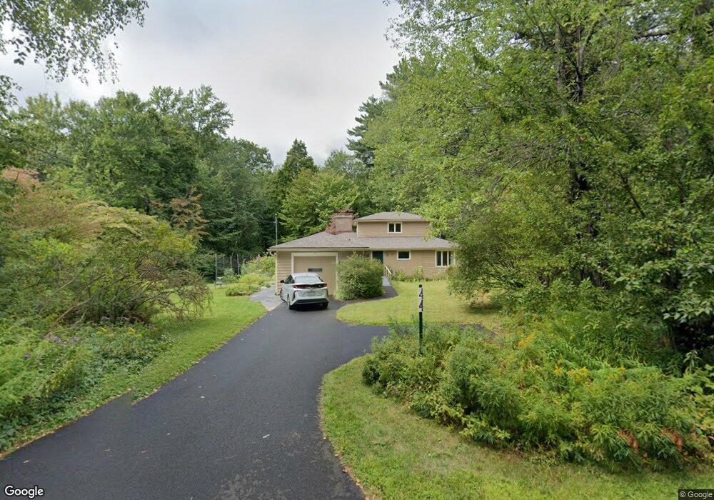
44 Red Gate Ln Amherst, MA 01002
Estimated Value: $491,000 - $570,000
4
Beds
2
Baths
1,552
Sq Ft
$349/Sq Ft
Est. Value
About This Home
This home is located at 44 Red Gate Ln, Amherst, MA 01002 and is currently estimated at $541,394, approximately $348 per square foot. 44 Red Gate Ln is a home located in Hampshire County with nearby schools including Wildwood Elementary School, Amherst Regional Middle School, and Amherst Regional High School.
Ownership History
Date
Name
Owned For
Owner Type
Purchase Details
Closed on
Jul 30, 2024
Sold by
Griffin Dorothy T and Griffin Bruce S
Bought by
Dorothy T Griffin Ret and Griffin
Current Estimated Value
Purchase Details
Closed on
Jun 24, 1992
Sold by
Rollason H Duncan and Rollason Mary E
Bought by
Griffin Dorothy T and Griffin Bruce S
Home Financials for this Owner
Home Financials are based on the most recent Mortgage that was taken out on this home.
Original Mortgage
$109,000
Interest Rate
8.57%
Mortgage Type
Purchase Money Mortgage
Create a Home Valuation Report for This Property
The Home Valuation Report is an in-depth analysis detailing your home's value as well as a comparison with similar homes in the area
Home Values in the Area
Average Home Value in this Area
Purchase History
| Date | Buyer | Sale Price | Title Company |
|---|---|---|---|
| Dorothy T Griffin Ret | -- | None Available | |
| Dorothy T Griffin Ret | -- | None Available | |
| Griffin Dorothy T | $165,000 | -- | |
| Griffin Dorothy T | $165,000 | -- |
Source: Public Records
Mortgage History
| Date | Status | Borrower | Loan Amount |
|---|---|---|---|
| Previous Owner | Griffin Dorothy T | $108,000 | |
| Previous Owner | Griffin Dorothy T | $109,000 |
Source: Public Records
Tax History
| Year | Tax Paid | Tax Assessment Tax Assessment Total Assessment is a certain percentage of the fair market value that is determined by local assessors to be the total taxable value of land and additions on the property. | Land | Improvement |
|---|---|---|---|---|
| 2025 | $81 | $450,400 | $209,200 | $241,200 |
| 2024 | $7,878 | $425,600 | $197,600 | $228,000 |
| 2023 | $7,560 | $376,100 | $180,000 | $196,100 |
| 2022 | $7,240 | $340,400 | $170,700 | $169,700 |
| 2021 | $6,904 | $316,400 | $158,300 | $158,100 |
| 2020 | $6,731 | $315,700 | $158,300 | $157,400 |
| 2019 | $6,597 | $302,600 | $158,300 | $144,300 |
| 2018 | $6,397 | $302,600 | $158,300 | $144,300 |
| 2017 | $6,263 | $286,900 | $150,900 | $136,000 |
| 2016 | $6,088 | $286,900 | $150,900 | $136,000 |
| 2015 | $5,677 | $276,400 | $150,900 | $125,500 |
Source: Public Records
Map
Nearby Homes
- 0 Red Gate Ln Unit 73348273
- 242 N East St Unit 24
- 50 Mount Pleasant
- 0 Main St
- 32 N Prospect St Unit 5
- 174 Lincoln Ave
- 75 Amity Place Unit 75
- 60 Amity Place
- 185 Cherry Ln
- 310 Belchertown Rd
- 0 Amherst Rd
- 0 Heatherstone Rd
- Lot A Kingman Rd
- 167 Rolling Ridge Rd
- 208 Rolling Ridge Rd
- 12 Kettle Pond Rd
- 12 Teawaddle Ln
- 9 Harkness Rd
- 10 Eaton Ct
- 228 Aubinwood Rd
- 54 Red Gate Ln
- 0 Red Gate Ln Unit 72240492
- 1 Red Gate Ln
- 34 Red Gate Ln
- 47 Red Gate Ln
- 18 Red Gate Ln
- 33 Red Gate Ln
- 63 Red Gate Ln
- 70 Red Gate Ln
- 75 Red Gate Ln
- 11 Red Gate Ln
- 191 N Whitney St
- 80 Red Gate Ln
- 161 High St
- 68 Maplewood Dr
- 180 N Whitney St
- 157 High St
- 187 N Whitney St
- 2 Hills Rd
- 179 N Whitney St
Your Personal Tour Guide
Ask me questions while you tour the home.