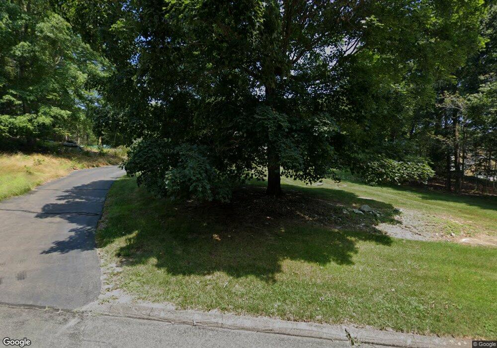
44 Running Brook Dr Killingworth, CT 06419
Estimated Value: $665,336 - $785,000
3
Beds
4
Baths
2,538
Sq Ft
$279/Sq Ft
Est. Value
About This Home
This home is located at 44 Running Brook Dr, Killingworth, CT 06419 and is currently estimated at $708,834, approximately $279 per square foot. 44 Running Brook Dr is a home located in Middlesex County with nearby schools including Haddam-Killingworth High School.
Ownership History
Date
Name
Owned For
Owner Type
Purchase Details
Closed on
Jul 17, 2023
Sold by
Whynall Catherine T
Bought by
Whynall Catherine T and Whynall Jeffrey M
Current Estimated Value
Purchase Details
Closed on
Feb 28, 1994
Sold by
Gesick Donald L and Gesick Joann M
Bought by
Whynall Catherine T
Create a Home Valuation Report for This Property
The Home Valuation Report is an in-depth analysis detailing your home's value as well as a comparison with similar homes in the area
Home Values in the Area
Average Home Value in this Area
Purchase History
| Date | Buyer | Sale Price | Title Company |
|---|---|---|---|
| Whynall Catherine T | -- | None Available | |
| Whynall Catherine T | $247,000 | -- |
Source: Public Records
Mortgage History
| Date | Status | Borrower | Loan Amount |
|---|---|---|---|
| Previous Owner | Whynall Catherine T | $75,000 | |
| Previous Owner | Whynall Catherine T | $218,000 | |
| Previous Owner | Whynall Catherine T | $231,000 |
Source: Public Records
Tax History Compared to Growth
Tax History
| Year | Tax Paid | Tax Assessment Tax Assessment Total Assessment is a certain percentage of the fair market value that is determined by local assessors to be the total taxable value of land and additions on the property. | Land | Improvement |
|---|---|---|---|---|
| 2025 | $8,019 | $305,830 | $95,200 | $210,630 |
| 2024 | $7,407 | $305,830 | $95,200 | $210,630 |
| 2023 | $7,178 | $305,830 | $95,200 | $210,630 |
| 2022 | $7,101 | $305,830 | $95,200 | $210,630 |
| 2021 | $7,137 | $267,120 | $105,680 | $161,440 |
| 2020 | $7,137 | $267,120 | $105,680 | $161,440 |
| 2019 | $7,338 | $267,120 | $105,680 | $161,440 |
| 2018 | $7,338 | $267,120 | $105,680 | $161,440 |
| 2017 | $7,338 | $267,120 | $105,680 | $161,440 |
| 2016 | $7,812 | $301,740 | $159,080 | $142,660 |
| 2015 | $7,613 | $301,740 | $159,080 | $142,660 |
| 2014 | $7,402 | $301,740 | $159,080 | $142,660 |
Source: Public Records
Map
Nearby Homes
- 132 Summer Hill Rd
- 25 Williamsburg Cir
- 33 Harkness Dr
- 100 Concord Dr
- 728 Durham Rd
- 70 High Hill Cir
- 174 Concord Dr
- 23 Horsebarn Ln
- 30 Chestnut Hill Rd
- 40 Legend Hill Rd
- 462 Horse Pond Rd
- 454 Horse Pond Rd Unit B
- 454 Horse Pond Rd Unit D
- 454 Horse Pond Rd Unit C
- 25 Copperstone Ln
- 18 Kelsey Springs Dr
- 39 Stepping Stone Ln
- 461 Green Hill Rd
- 735 Opening Hill Rd
- 115 Hemlock Dr
- 54 Running Brook Dr
- 34 Running Brook Dr
- 49 Running Brook Dr
- 45 Running Brook Dr
- 31 Running Brook Dr
- 4 Grace Ln
- 30 Running Brook Dr
- 55 Running Brook Dr
- 62 Running Brook Dr
- 26 Running Brook Dr
- 15 Sugar Hill Rd
- 7 Grace Ln
- 10 Grace Ln
- 11 Sugar Hill Rd
- 21 Sugar Hill Rd
- 173 Chestnut Hill Rd
- 5 Sugar Hill Rd
- 25 Running Brook Dr
- 22 Running Brook Dr
- 8 Running Brook Dr
