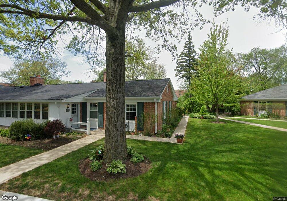
44 Simpson St Evanston, IL 60201
North Evanston NeighborhoodEstimated Value: $258,000 - $403,000
2
Beds
1
Bath
1,039
Sq Ft
$295/Sq Ft
Est. Value
About This Home
This home is located at 44 Simpson St, Evanston, IL 60201 and is currently estimated at $306,853, approximately $295 per square foot. 44 Simpson St is a home with nearby schools including Willard Elementary School, Haven Middle School, and Evanston Township High School.
Create a Home Valuation Report for This Property
The Home Valuation Report is an in-depth analysis detailing your home's value as well as a comparison with similar homes in the area
Home Values in the Area
Average Home Value in this Area
Tax History
| Year | Tax Paid | Tax Assessment Tax Assessment Total Assessment is a certain percentage of the fair market value that is determined by local assessors to be the total taxable value of land and additions on the property. | Land | Improvement |
|---|---|---|---|---|
| 2025 | $3,386 | $32,936 | $9,811 | $23,125 |
| 2024 | $3,386 | $19,955 | $3,002 | $16,953 |
| 2023 | $4,737 | $19,955 | $3,002 | $16,953 |
| 2022 | $4,737 | $26,549 | $3,002 | $23,547 |
| 2021 | $4,058 | $15,290 | $10,792 | $4,498 |
| 2020 | $4,004 | $15,290 | $10,792 | $4,498 |
| 2019 | $2,482 | $16,766 | $10,792 | $5,974 |
| 2018 | $2,898 | $16,761 | $8,829 | $7,932 |
| 2017 | $2,851 | $16,761 | $8,829 | $7,932 |
| 2016 | $3,158 | $16,761 | $8,829 | $7,932 |
| 2015 | $2,091 | $12,294 | $7,358 | $4,936 |
| 2014 | $2,096 | $12,294 | $7,358 | $4,936 |
| 2013 | $2,020 | $12,294 | $7,358 | $4,936 |
Source: Public Records
Map
Nearby Homes
- 3029 Simpson St
- 9515 Hamlin Ave
- 9532 Springfield Ave
- 2311 Ridgeway Ave
- 9435 Central Park Ave
- 9360 Ridgeway Ave
- 2216 Forestview Rd
- 9343 Hamlin Ave
- 9242 Ridgeway Ave
- 2724 Simpson St
- 9714 Kedvale Ave
- 2026 Mcdaniel Ave
- 9200 N East Prairie Rd Unit 203
- 9308 Karlov Ave
- 9132 Lincolnwood Dr
- 9138 Four Winds Way
- 3233 Central St
- 3233 Central St Unit 2
- 9239 Kedvale Ave
- 4050 Church St
Your Personal Tour Guide
Ask me questions while you tour the home.