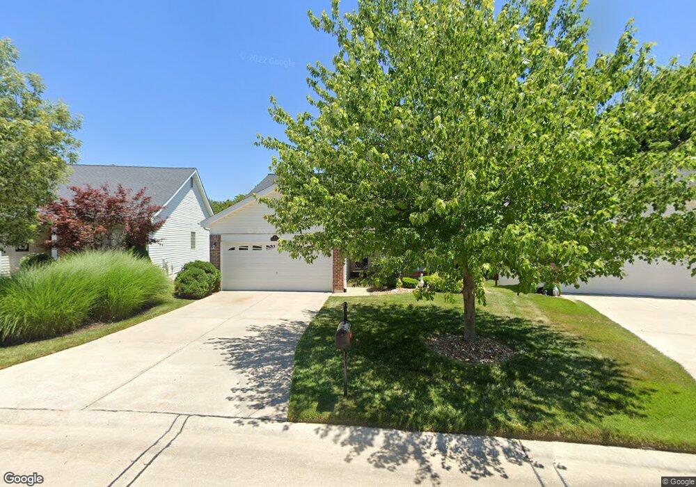
44 Soenker Cir Saint Peters, MO 63376
Estimated Value: $298,092 - $358,000
2
Beds
2
Baths
1,483
Sq Ft
$229/Sq Ft
Est. Value
About This Home
This home is located at 44 Soenker Cir, Saint Peters, MO 63376 and is currently estimated at $340,273, approximately $229 per square foot. 44 Soenker Cir is a home located in St. Charles County with nearby schools including Hawthorn Elementary School, Dr. Bernard J. Dubray Middle School, and Fort Zumwalt East High School.
Ownership History
Date
Name
Owned For
Owner Type
Purchase Details
Closed on
Apr 17, 2018
Sold by
Dizerega Debbie
Bought by
Dizerega Paul and Dizerega Paul H
Current Estimated Value
Home Financials for this Owner
Home Financials are based on the most recent Mortgage that was taken out on this home.
Original Mortgage
$89,466
Outstanding Balance
$77,046
Interest Rate
4.5%
Mortgage Type
New Conventional
Estimated Equity
$263,227
Purchase Details
Closed on
Nov 1, 2002
Sold by
Taylor Morley Inc
Bought by
Dizerega Paul and Dizerega Debbie
Home Financials for this Owner
Home Financials are based on the most recent Mortgage that was taken out on this home.
Original Mortgage
$132,300
Interest Rate
6%
Create a Home Valuation Report for This Property
The Home Valuation Report is an in-depth analysis detailing your home's value as well as a comparison with similar homes in the area
Home Values in the Area
Average Home Value in this Area
Purchase History
| Date | Buyer | Sale Price | Title Company |
|---|---|---|---|
| Dizerega Paul | -- | None Available | |
| Dizerega Paul | $225,983 | -- |
Source: Public Records
Mortgage History
| Date | Status | Borrower | Loan Amount |
|---|---|---|---|
| Open | Dizerega Paul | $89,466 | |
| Closed | Dizerega Paul | $132,300 |
Source: Public Records
Tax History Compared to Growth
Tax History
| Year | Tax Paid | Tax Assessment Tax Assessment Total Assessment is a certain percentage of the fair market value that is determined by local assessors to be the total taxable value of land and additions on the property. | Land | Improvement |
|---|---|---|---|---|
| 2025 | $4,450 | $62,551 | -- | -- |
| 2023 | $4,446 | $62,497 | $0 | $0 |
| 2022 | $3,414 | $44,882 | $0 | $0 |
| 2021 | $3,409 | $44,882 | $0 | $0 |
| 2020 | $3,525 | $45,009 | $0 | $0 |
| 2019 | $3,516 | $45,009 | $0 | $0 |
| 2018 | $3,432 | $42,225 | $0 | $0 |
| 2017 | $3,417 | $42,225 | $0 | $0 |
| 2016 | $2,963 | $36,500 | $0 | $0 |
| 2015 | $2,774 | $36,500 | $0 | $0 |
| 2014 | $2,691 | $34,703 | $0 | $0 |
Source: Public Records
Map
Nearby Homes
- 420 Benton Dr Unit C
- 440 Benton Dr Unit L
- 450 Benton Dr Unit E
- 480 Benton Dr Unit L
- 4 Wolverton Ct
- 3509 Sutton Dr
- 8 Wilton Ct
- 3424 Brookwood Cir
- 113 Berry Manor Cir
- 1309 Cave Springs Estate Dr
- 303 Laurel Lea Dr
- 43 Plum Tree Dr
- 132 Plum Tree Dr
- 1410 Ticonderoga Dr
- 17 Avocado Tree Cir
- 4035 Manhattan Ave
- 528 Leaning Woods St
- 1504 Ticonderoga Dr
- 35 Gold Run Dr Unit B
- 710 Antler Ridge Dr