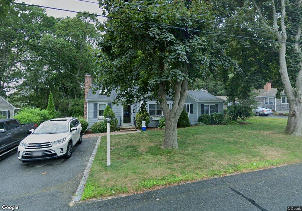
44 Spruce Dr Pocasset, MA 02559
Pocasset NeighborhoodEstimated Value: $749,000 - $1,010,000
3
Beds
2
Baths
1,292
Sq Ft
$632/Sq Ft
Est. Value
About This Home
This home is located at 44 Spruce Dr, Pocasset, MA 02559 and is currently estimated at $816,595, approximately $632 per square foot. 44 Spruce Dr is a home located in Barnstable County with nearby schools including Bourne High School, Cadence Academy Preschool - Bourne, and Heritage Christian Academy.
Ownership History
Date
Name
Owned For
Owner Type
Purchase Details
Closed on
Jul 30, 2008
Sold by
Gordon Stephen L
Bought by
Spruce Drive Rt and Gordon
Current Estimated Value
Purchase Details
Closed on
May 27, 1993
Sold by
Culgin Ronald P and Culgin Charlotte F
Bought by
Gordon Stephen L and Gordon Margaret R
Home Financials for this Owner
Home Financials are based on the most recent Mortgage that was taken out on this home.
Original Mortgage
$106,000
Interest Rate
7.41%
Mortgage Type
Purchase Money Mortgage
Create a Home Valuation Report for This Property
The Home Valuation Report is an in-depth analysis detailing your home's value as well as a comparison with similar homes in the area
Home Values in the Area
Average Home Value in this Area
Purchase History
| Date | Buyer | Sale Price | Title Company |
|---|---|---|---|
| Spruce Drive Rt | -- | -- | |
| Spruce Drive Rt | -- | -- | |
| Gordon Stephen L | $132,500 | -- | |
| Gordon Stephen L | $132,500 | -- |
Source: Public Records
Mortgage History
| Date | Status | Borrower | Loan Amount |
|---|---|---|---|
| Previous Owner | Gordon Stephen L | $50,000 | |
| Previous Owner | Gordon Stephen L | $106,000 |
Source: Public Records
Tax History Compared to Growth
Tax History
| Year | Tax Paid | Tax Assessment Tax Assessment Total Assessment is a certain percentage of the fair market value that is determined by local assessors to be the total taxable value of land and additions on the property. | Land | Improvement |
|---|---|---|---|---|
| 2025 | $5,159 | $660,500 | $378,100 | $282,400 |
| 2024 | $4,878 | $608,200 | $360,100 | $248,100 |
| 2023 | $4,742 | $538,300 | $318,700 | $219,600 |
| 2022 | $4,281 | $424,300 | $250,000 | $174,300 |
| 2021 | $4,159 | $386,200 | $227,500 | $158,700 |
| 2020 | $4,041 | $376,300 | $225,300 | $151,000 |
| 2019 | $3,886 | $369,700 | $225,300 | $144,400 |
| 2018 | $3,698 | $350,900 | $220,100 | $130,800 |
| 2017 | $3,579 | $347,500 | $218,000 | $129,500 |
| 2016 | $3,183 | $313,300 | $207,100 | $106,200 |
| 2015 | $2,991 | $297,000 | $190,800 | $106,200 |
Source: Public Records
Map
Nearby Homes
- 22 Nairn Rd
- 48 Red Brook Harbor Rd
- 3 Red Brook Pond Dr
- 171 Bellavista Dr
- 1094 County Rd
- 940 County Rd
- 34 Kenwood Rd
- 45 Kenwood Rd
- 254 Barlows Landing Rd
- 70 Wings Neck Rd
- 940 County Rd
- 24 Richmond Rd
- 75 Winsor Rd
- 89 Harbor Dr
- 709 County Rd
- 10 Squeteague Harbor Rd
- 1234 Route 28a
- 1234 Route 28a
- 174 Barlows Landing Rd
- 7 4th Ave