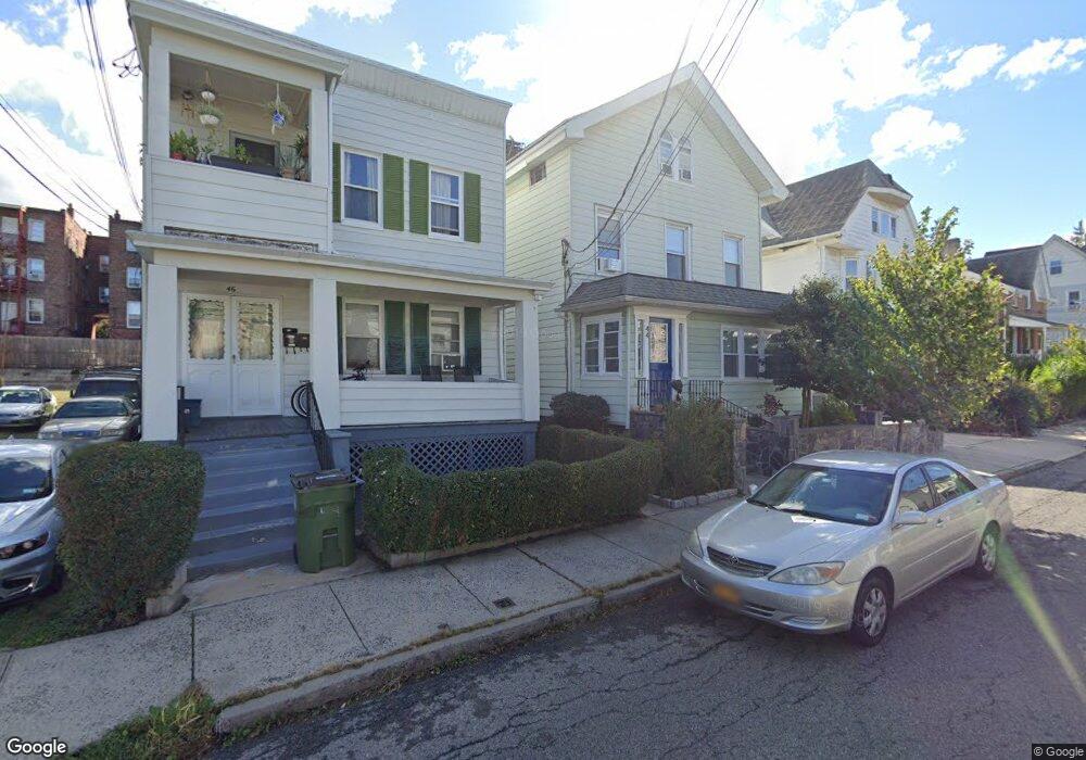
44 Storm St Tarrytown, NY 10591
Estimated Value: $839,760 - $1,158,000
--
Bed
4
Baths
2,328
Sq Ft
$413/Sq Ft
Est. Value
About This Home
This home is located at 44 Storm St, Tarrytown, NY 10591 and is currently estimated at $960,440, approximately $412 per square foot. 44 Storm St is a home located in Westchester County with nearby schools including John Paulding School, W L Morse School, and Washington Irving Interm School.
Ownership History
Date
Name
Owned For
Owner Type
Purchase Details
Closed on
Jan 15, 2004
Sold by
Minardi Armond and Minardi Lucy
Bought by
Loja Luis and Pillacela Elsa
Current Estimated Value
Home Financials for this Owner
Home Financials are based on the most recent Mortgage that was taken out on this home.
Original Mortgage
$472,500
Interest Rate
5.82%
Mortgage Type
Unknown
Create a Home Valuation Report for This Property
The Home Valuation Report is an in-depth analysis detailing your home's value as well as a comparison with similar homes in the area
Home Values in the Area
Average Home Value in this Area
Purchase History
| Date | Buyer | Sale Price | Title Company |
|---|---|---|---|
| Loja Luis | $525,000 | National Granite Title Insur |
Source: Public Records
Mortgage History
| Date | Status | Borrower | Loan Amount |
|---|---|---|---|
| Previous Owner | Loja Luis | $472,500 |
Source: Public Records
Tax History Compared to Growth
Tax History
| Year | Tax Paid | Tax Assessment Tax Assessment Total Assessment is a certain percentage of the fair market value that is determined by local assessors to be the total taxable value of land and additions on the property. | Land | Improvement |
|---|---|---|---|---|
| 2024 | $24,496 | $877,400 | $258,400 | $619,000 |
| 2023 | $16,629 | $840,500 | $258,400 | $582,100 |
| 2022 | $23,744 | $806,900 | $258,400 | $548,500 |
| 2021 | $13,597 | $756,400 | $258,400 | $498,000 |
| 2020 | $13,496 | $442,400 | $258,400 | $184,000 |
| 2019 | $14,602 | $442,400 | $258,400 | $184,000 |
| 2018 | $15,988 | $430,000 | $258,400 | $171,600 |
| 2017 | $6,981 | $425,800 | $258,400 | $167,400 |
| 2016 | $305,329 | $413,400 | $258,400 | $155,000 |
| 2015 | -- | $14,000 | $1,200 | $12,800 |
| 2014 | -- | $14,000 | $1,200 | $12,800 |
| 2013 | $9,484 | $14,000 | $1,200 | $12,800 |
Source: Public Records
Map
Nearby Homes
- 29 Dixon St
- 18 N Broadway Unit 411
- 19 S Broadway Unit 4A
- 102 Legend Dr Unit 101
- 29 Woodland Ave
- 14 Croton Ave
- 127 W Main St Unit 300
- 127 W Main St Unit S200
- 4 Lighthouse Landing Unit 318
- 4 Lighthouse Landing Unit 208
- 4 Lighthouse Landing Unit 224
- 4 Lighthouse Landing Unit 301
- 4 Lighthouse Landing Unit PH518
- 4 Lighthouse Landing Unit PH515
- 4 Lighthouse Landing Unit PH520
- 4 Lighthouse Landing Unit PH519
- 4 Lighthouse Landing Unit 209
- 4 Lighthouse Landing Unit 203
- 4 Lighthouse Landing Unit TH02
- 4 Lighthouse Landing Unit 421