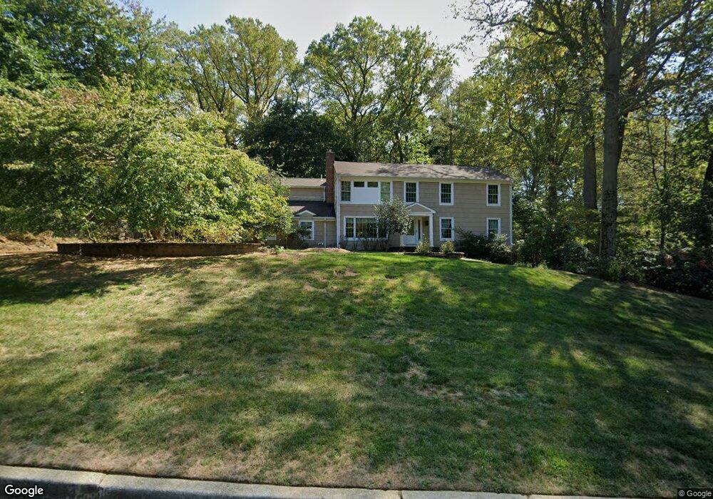
44 Tall Tree Rd Middletown, NJ 07748
New Monmouth NeighborhoodEstimated Value: $943,000 - $1,107,000
4
Beds
3
Baths
2,977
Sq Ft
$341/Sq Ft
Est. Value
About This Home
This home is located at 44 Tall Tree Rd, Middletown, NJ 07748 and is currently estimated at $1,014,916, approximately $340 per square foot. 44 Tall Tree Rd is a home located in Monmouth County with nearby schools including Nut Swamp Elementary School, Thompson Middle School, and Middletown - South High School.
Ownership History
Date
Name
Owned For
Owner Type
Purchase Details
Closed on
Aug 26, 2025
Sold by
John And Linda Eaves Living Trust and Eaves John
Bought by
Eaves John and Eaves Linda
Current Estimated Value
Purchase Details
Closed on
Jun 16, 2020
Sold by
Eaves John O and Eaves Linda S
Bought by
Eaves John and Eaves Linda
Create a Home Valuation Report for This Property
The Home Valuation Report is an in-depth analysis detailing your home's value as well as a comparison with similar homes in the area
Home Values in the Area
Average Home Value in this Area
Purchase History
| Date | Buyer | Sale Price | Title Company |
|---|---|---|---|
| Eaves John | -- | None Listed On Document | |
| Eaves John | -- | None Listed On Document | |
| Eaves John | -- | None Available | |
| John And Linda Eaves Living Trust | -- | None Listed On Document |
Source: Public Records
Tax History
| Year | Tax Paid | Tax Assessment Tax Assessment Total Assessment is a certain percentage of the fair market value that is determined by local assessors to be the total taxable value of land and additions on the property. | Land | Improvement |
|---|---|---|---|---|
| 2025 | $15,234 | $1,035,400 | $547,200 | $488,200 |
| 2024 | $15,519 | $926,100 | $446,800 | $479,300 |
| 2023 | $15,519 | $892,900 | $417,900 | $475,000 |
| 2022 | $13,968 | $747,000 | $294,700 | $452,300 |
| 2021 | $13,968 | $680,600 | $278,300 | $402,300 |
| 2020 | $14,188 | $663,600 | $270,400 | $393,200 |
| 2019 | $14,503 | $686,700 | $270,400 | $416,300 |
| 2018 | $14,198 | $655,200 | $258,300 | $396,900 |
| 2017 | $13,668 | $643,500 | $253,300 | $390,200 |
| 2016 | $14,037 | $658,700 | $278,300 | $380,400 |
| 2015 | $13,547 | $634,200 | $258,300 | $375,900 |
| 2014 | $12,957 | $591,900 | $248,300 | $343,600 |
Source: Public Records
Map
Nearby Homes
- 49 Stork Ct
- 77 Bunker Hill Dr
- 7 Shire Way
- 164 Heights Terrace
- 7 Cormorant Dr
- 3 Deridder Ct
- 234 Borden Rd
- 911 Middletown Lincroft Rd
- 132 Apple Blossom Ln
- 35 Woodland Dr
- 129 Four Winds Dr
- 0 Hamiltonian Dr Unit 22600718
- 185 Ballantine Rd
- 62 Cypress Neck Rd
- 6 Twin Brooks Ct
- 45 Galloping Hill Cir
- 30 Winchester Ln
- 33 Winchester Ln
- 41 Polly Way
- 27 Pate Dr
Your Personal Tour Guide
Ask me questions while you tour the home.