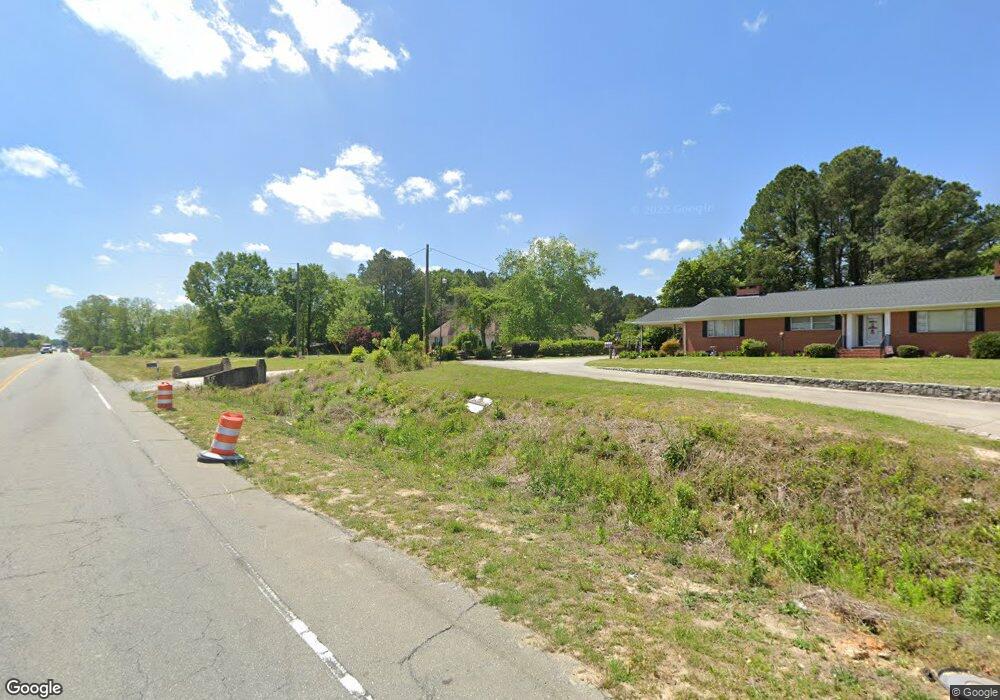
44 Taylors Bridge Hwy Clinton, NC 28328
Estimated Value: $229,000 - $299,362
3
Beds
3
Baths
1,571
Sq Ft
$165/Sq Ft
Est. Value
About This Home
This home is located at 44 Taylors Bridge Hwy, Clinton, NC 28328 and is currently estimated at $259,591, approximately $165 per square foot. 44 Taylors Bridge Hwy is a home located in Sampson County with nearby schools including Union Elementary School, Union Intermediate School, and Union Middle School.
Ownership History
Date
Name
Owned For
Owner Type
Purchase Details
Closed on
Jun 10, 2011
Sold by
Pierce James Randolph and Pierce Linda P
Bought by
Sanchez Marcelino and Sanchez Carmen Gonzalez
Current Estimated Value
Home Financials for this Owner
Home Financials are based on the most recent Mortgage that was taken out on this home.
Original Mortgage
$145,000
Outstanding Balance
$99,960
Interest Rate
4.63%
Mortgage Type
Future Advance Clause Open End Mortgage
Estimated Equity
$159,631
Create a Home Valuation Report for This Property
The Home Valuation Report is an in-depth analysis detailing your home's value as well as a comparison with similar homes in the area
Home Values in the Area
Average Home Value in this Area
Purchase History
| Date | Buyer | Sale Price | Title Company |
|---|---|---|---|
| Sanchez Marcelino | $175,000 | None Available |
Source: Public Records
Mortgage History
| Date | Status | Borrower | Loan Amount |
|---|---|---|---|
| Open | Sanchez Marcelino | $145,000 |
Source: Public Records
Tax History Compared to Growth
Tax History
| Year | Tax Paid | Tax Assessment Tax Assessment Total Assessment is a certain percentage of the fair market value that is determined by local assessors to be the total taxable value of land and additions on the property. | Land | Improvement |
|---|---|---|---|---|
| 2025 | $1,864 | $237,502 | $31,584 | $205,918 |
| 2024 | $1,674 | $237,502 | $31,584 | $205,918 |
| 2023 | $1,579 | $170,668 | $27,465 | $143,203 |
| 2022 | $1,579 | $170,668 | $27,465 | $143,203 |
| 2021 | $1,579 | $170,668 | $27,465 | $143,203 |
| 2020 | $1,579 | $170,668 | $27,465 | $143,203 |
| 2019 | $1,579 | $170,668 | $0 | $0 |
| 2018 | $1,463 | $158,172 | $0 | $0 |
| 2017 | $1,463 | $158,172 | $0 | $0 |
| 2016 | $1,471 | $158,172 | $0 | $0 |
| 2015 | $1,471 | $158,172 | $0 | $0 |
| 2014 | $1,463 | $158,172 | $0 | $0 |
Source: Public Records
Map
Nearby Homes
- 865 Cecil Odie Rd
- 2228 Indian Town Rd
- 2080 Indian Town Rd
- 500 Rowan Rd
- 1206 Southwest Blvd
- 2153 Rowan Rd
- 814 Southwest Blvd
- 1116 Phillips St
- 72 Miry Creek Ln
- 112 Martin Luther King Junior Blvd
- 110 Martin Luther King Junior Blvd
- 0 Reedsford Rd
- 111 Colonial Dr
- 603 Pine St
- 0 Boykin Bridge Rd
- 1 Boykin Bridge Rd
- 107 Miami St
- 393 Moltonville Rd
- 401 Lafayette St
- 114 Eastover Ave
- 20 Jamie Heather Ln
- 0 Jamie Heather Ln
- 86 Taylors Bridge Hwy
- 3460 Faircloth Fwy
- 1 Taylors Bridge Hwy
- 110 Taylors Bridge Hwy
- 3430 Faircloth Fwy
- 75 Taylors Bridge Hwy
- 107 Taylors Bridge Hwy
- 49 Janice Ln
- 60 Byrd Yancey Bass Rd
- 170 Taylors Bridge Hwy
- 63 Janice Ln
- 167 Taylors Bridge Hwy
- 48 Janice Ln
- 3364 Faircloth Fwy
- 86 Byrd Yancey Bass Rd
- 190 Taylors Bridge Hwy
- 191 Taylors Bridge Hwy
- 100 Byrd-Yancey-bass Rd