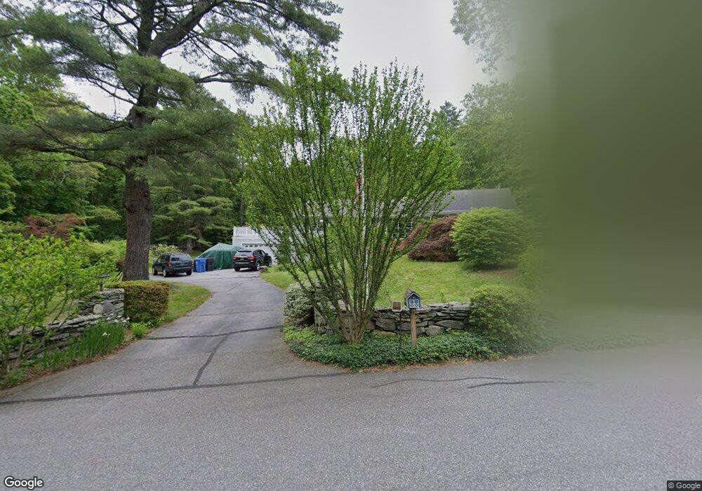
44 Woodridge Cir Gales Ferry, CT 06335
Estimated Value: $438,000 - $498,000
4
Beds
4
Baths
1,862
Sq Ft
$253/Sq Ft
Est. Value
About This Home
This home is located at 44 Woodridge Cir, Gales Ferry, CT 06335 and is currently estimated at $470,800, approximately $252 per square foot. 44 Woodridge Cir is a home located in New London County with nearby schools including Ledyard Middle School, Ledyard High School, and Academy Of St Therese.
Ownership History
Date
Name
Owned For
Owner Type
Purchase Details
Closed on
Dec 30, 2020
Sold by
Plantz Caroline S
Bought by
Haskell Thomas W
Current Estimated Value
Home Financials for this Owner
Home Financials are based on the most recent Mortgage that was taken out on this home.
Original Mortgage
$189,000
Outstanding Balance
$168,653
Interest Rate
2.7%
Mortgage Type
Purchase Money Mortgage
Estimated Equity
$302,147
Purchase Details
Closed on
Jun 4, 1975
Bought by
Plantz Ernest and Plantz Caroline S
Create a Home Valuation Report for This Property
The Home Valuation Report is an in-depth analysis detailing your home's value as well as a comparison with similar homes in the area
Home Values in the Area
Average Home Value in this Area
Purchase History
| Date | Buyer | Sale Price | Title Company |
|---|---|---|---|
| Haskell Thomas W | $270,000 | None Available | |
| Plantz Ernest | -- | -- |
Source: Public Records
Mortgage History
| Date | Status | Borrower | Loan Amount |
|---|---|---|---|
| Open | Haskell Thomas W | $189,000 |
Source: Public Records
Tax History Compared to Growth
Tax History
| Year | Tax Paid | Tax Assessment Tax Assessment Total Assessment is a certain percentage of the fair market value that is determined by local assessors to be the total taxable value of land and additions on the property. | Land | Improvement |
|---|---|---|---|---|
| 2025 | $8,283 | $223,020 | $53,480 | $169,540 |
| 2024 | $7,828 | $222,320 | $53,480 | $168,840 |
| 2023 | $7,683 | $222,320 | $53,480 | $168,840 |
| 2022 | $7,519 | $222,320 | $53,480 | $168,840 |
| 2021 | $7,470 | $222,320 | $53,480 | $168,840 |
| 2020 | $6,328 | $180,950 | $56,000 | $124,950 |
| 2019 | $6,344 | $180,950 | $56,000 | $124,950 |
| 2018 | $6,205 | $180,950 | $56,000 | $124,950 |
| 2017 | $5,888 | $180,950 | $56,000 | $124,950 |
| 2016 | $5,772 | $180,950 | $56,000 | $124,950 |
| 2015 | $5,501 | $180,950 | $56,000 | $124,950 |
| 2014 | $5,804 | $194,110 | $56,000 | $138,110 |
Source: Public Records
Map
Nearby Homes
- 0 Clarks Falls Unit 24089817
- 123A Whalehead Rd
- 2 Garden Ct
- 5 Bittersweet Dr
- 421 Kitemaug Rd
- 7 Briarwood Ct
- 47 Norman Dr
- 165 Massapeag Rd
- 16 Marty's Way
- 15 Drawbridge Rd
- 3 Holdsworth Rd
- 127 Massapeag Rd
- 16 Marlene Dr
- 170 Depot Rd
- 18 Marty's Way
- 9 West Dr
- 11 Marty's Way
- 5 Ledgewood Dr
- 25 Marty's Way
- 65 Dydo Dr
- 42 Woodridge Cir
- 19 Clark Ln
- 41 Woodridge Cir
- 24 Old Quarry Rd
- 15 Clark Ln
- 38 Woodridge Cir
- 22 Old Quarry Rd
- 37 Woodridge Cir
- 25 Old Quarry Rd
- 1 Woodridge Cir
- 23 Old Quarry Rd
- 18 Old Quarry Rd
- 13 Clark Ln
- 5 Woodridge Cir
- 11 Clark Ln
- 17 Old Quarry Rd
- 16 Old Quarry Rd
- 9 Woodridge Cir
- 40 Woodridge Cir
- 4 Woodridge Cir