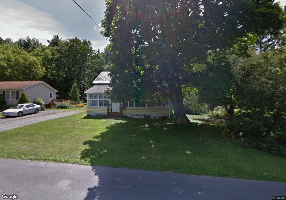
440 Barbour St North Adams, MA 01247
Estimated Value: $234,000 - $308,000
4
Beds
2
Baths
2,023
Sq Ft
$129/Sq Ft
Est. Value
About This Home
This home is located at 440 Barbour St, North Adams, MA 01247 and is currently estimated at $260,087, approximately $128 per square foot. 440 Barbour St is a home located in Berkshire County with nearby schools including Greylock Elementary School and Drury High School.
Ownership History
Date
Name
Owned For
Owner Type
Purchase Details
Closed on
Jul 1, 1992
Sold by
Dean Paula M
Bought by
Langlois Mark D
Current Estimated Value
Home Financials for this Owner
Home Financials are based on the most recent Mortgage that was taken out on this home.
Original Mortgage
$60,800
Interest Rate
8.49%
Mortgage Type
Purchase Money Mortgage
Purchase Details
Closed on
May 14, 1992
Sold by
Dean Paula M
Bought by
Dupee Harold R
Home Financials for this Owner
Home Financials are based on the most recent Mortgage that was taken out on this home.
Original Mortgage
$60,800
Interest Rate
8.49%
Mortgage Type
Purchase Money Mortgage
Purchase Details
Closed on
Aug 10, 1990
Sold by
Murphy David F
Bought by
Murphy Paula M
Purchase Details
Closed on
Mar 31, 1988
Sold by
Amato Ruth S
Bought by
Murphy David F
Create a Home Valuation Report for This Property
The Home Valuation Report is an in-depth analysis detailing your home's value as well as a comparison with similar homes in the area
Home Values in the Area
Average Home Value in this Area
Purchase History
| Date | Buyer | Sale Price | Title Company |
|---|---|---|---|
| Langlois Mark D | $76,000 | -- | |
| Dupee Harold R | $15,000 | -- | |
| Murphy Paula M | $20,000 | -- | |
| Langlois Mark D | $76,000 | -- | |
| Murphy Paula M | $20,000 | -- | |
| Murphy David F | $160,000 | -- |
Source: Public Records
Mortgage History
| Date | Status | Borrower | Loan Amount |
|---|---|---|---|
| Closed | Murphy David F | $18,204 | |
| Closed | Murphy David F | $60,500 | |
| Closed | Murphy David F | $60,800 |
Source: Public Records
Tax History Compared to Growth
Tax History
| Year | Tax Paid | Tax Assessment Tax Assessment Total Assessment is a certain percentage of the fair market value that is determined by local assessors to be the total taxable value of land and additions on the property. | Land | Improvement |
|---|---|---|---|---|
| 2025 | $3,120 | $186,700 | $50,900 | $135,800 |
| 2024 | $2,900 | $169,200 | $46,600 | $122,600 |
| 2023 | $2,857 | $161,700 | $46,600 | $115,100 |
| 2022 | $2,639 | $142,400 | $46,600 | $95,800 |
| 2021 | $2,455 | $131,900 | $43,100 | $88,800 |
| 2020 | $2,359 | $126,700 | $42,800 | $83,900 |
| 2019 | $2,221 | $116,200 | $39,500 | $76,700 |
| 2018 | $2,147 | $116,800 | $41,600 | $75,200 |
| 2017 | $2,044 | $115,700 | $41,200 | $74,500 |
| 2016 | $1,988 | $114,300 | $41,200 | $73,100 |
| 2015 | $1,909 | $114,400 | $41,200 | $73,200 |
Source: Public Records
Map
Nearby Homes
- 434 Barbour St
- 454 Barbour St
- 426 Barbour St
- 435 Barbour St
- 274 Protection Ave
- 271 Protection Ave
- 470 Barbour St
- 414 Barbour St
- 467 Barbour St
- 254 Protection Ave
- 257 Protection Ave
- 476 Barbour St
- 475 Barbour St
- 252 Protection Ave
- 20 Green Ave
- 26 Green Ave
- 32 Green Ave
- 484 Barbour St
- 481 Barbour St
- 400 Barbour St