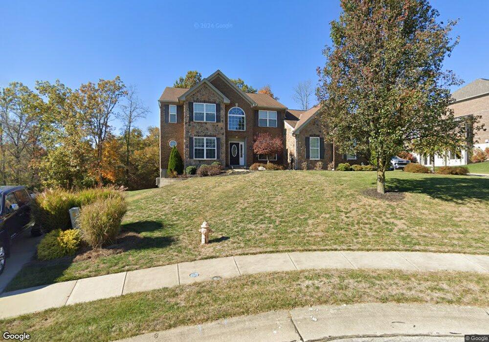
440 Chandrel Ct Covington, KY 41015
South Covington NeighborhoodEstimated Value: $512,000 - $551,000
4
Beds
3
Baths
3,130
Sq Ft
$169/Sq Ft
Est. Value
About This Home
This home is located at 440 Chandrel Ct, Covington, KY 41015 and is currently estimated at $529,513, approximately $169 per square foot. 440 Chandrel Ct is a home located in Kenton County with nearby schools including Taylor Mill Elementary School, Woodland Middle School, and Scott High School.
Ownership History
Date
Name
Owned For
Owner Type
Purchase Details
Closed on
Sep 3, 2008
Sold by
Special Asset Acquisition Llc
Bought by
Mechlin Andrew F and Mechlin Colleen K
Current Estimated Value
Home Financials for this Owner
Home Financials are based on the most recent Mortgage that was taken out on this home.
Original Mortgage
$300,000
Outstanding Balance
$190,730
Interest Rate
5.87%
Mortgage Type
Construction
Estimated Equity
$338,783
Create a Home Valuation Report for This Property
The Home Valuation Report is an in-depth analysis detailing your home's value as well as a comparison with similar homes in the area
Home Values in the Area
Average Home Value in this Area
Purchase History
| Date | Buyer | Sale Price | Title Company |
|---|---|---|---|
| Mechlin Andrew F | $55,000 | None Available |
Source: Public Records
Mortgage History
| Date | Status | Borrower | Loan Amount |
|---|---|---|---|
| Open | Mechlin Andrew F | $300,000 |
Source: Public Records
Tax History
| Year | Tax Paid | Tax Assessment Tax Assessment Total Assessment is a certain percentage of the fair market value that is determined by local assessors to be the total taxable value of land and additions on the property. | Land | Improvement |
|---|---|---|---|---|
| 2025 | $4,672 | $401,700 | $55,000 | $346,700 |
| 2024 | $4,491 | $366,600 | $47,000 | $319,600 |
| 2023 | $4,626 | $366,600 | $47,000 | $319,600 |
| 2022 | $4,674 | $366,600 | $47,000 | $319,600 |
| 2021 | $4,744 | $366,600 | $47,000 | $319,600 |
| 2020 | $4,342 | $328,000 | $47,000 | $281,000 |
| 2019 | $4,354 | $328,000 | $47,000 | $281,000 |
| 2018 | $4,378 | $328,000 | $47,000 | $281,000 |
| 2017 | $4,257 | $328,000 | $47,000 | $281,000 |
| 2015 | $3,958 | $313,000 | $55,000 | $258,000 |
| 2014 | $3,902 | $313,000 | $55,000 | $258,000 |
Source: Public Records
Map
Nearby Homes
- 3576 Gilford Ct
- 10171 Desmond Ct
- 3199 Summitrun Dr
- 1479 Hands Pike
- 838 Stablewatch Dr
- 866 Stablewatch Dr
- 3668 Mills Rd
- 712 Lakefield Dr
- 907 Stablewatch Dr
- 6409 Stonemill Dr
- 5809 Taylor Mill Rd
- 718 Willow Green Dr
- 714 Willow Green Dr
- 951 Stablewatch Dr
- 968 Stablewatch Dr
- 121 Indian Creek Dr
- 4011 Ryland Trace Dr
- 3827 Pruett Rd
- 3845 Pruett Rd
- 3042 Sugar Camp Rd
- 436 Chandrel Ct
- 24 Chandrel
- 444 Chandrel Ct
- 3603 Tamber Ridge Dr
- 439 Chandrel Ct
- 447 Chandrel Ct
- 435 Chandrel Ct
- 3607 Tamber Ridge Dr
- 3599 Tamber Ridge Dr
- 3595 Tamber Ridge Dr Unit 30
- 3613 Tamber Ridge Dr
- 3595 Tamber Ridge Dr
- 3617 Tamber Ridge Dr
- 440 Spencely Ct
- 440 Spencely Ct Unit 15
- 436 Spencely Ct
- 3604 Tamber Ridge Dr
- 3608 Tamber Ridge Dr
- 3600 Tamber Ridge Dr
- 3591 Tamber Ridge Dr
Your Personal Tour Guide
Ask me questions while you tour the home.