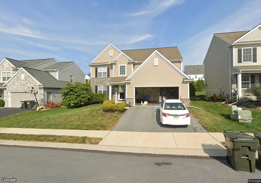
440 Charles Dr Manheim, PA 17545
Estimated Value: $486,349 - $582,000
4
Beds
3
Baths
1,684
Sq Ft
$311/Sq Ft
Est. Value
About This Home
This home is located at 440 Charles Dr, Manheim, PA 17545 and is currently estimated at $524,337, approximately $311 per square foot. 440 Charles Dr is a home located in Lancaster County with nearby schools including Manheim Central Senior High School, Manheim Christian Day School, and Sporting Hill Christian School.
Ownership History
Date
Name
Owned For
Owner Type
Purchase Details
Closed on
Jun 29, 2018
Sold by
Charles Investments Lp
Bought by
Francis Todd M and Webster Cecilia T
Current Estimated Value
Home Financials for this Owner
Home Financials are based on the most recent Mortgage that was taken out on this home.
Original Mortgage
$299,669
Outstanding Balance
$261,803
Interest Rate
4.87%
Mortgage Type
FHA
Estimated Equity
$262,534
Create a Home Valuation Report for This Property
The Home Valuation Report is an in-depth analysis detailing your home's value as well as a comparison with similar homes in the area
Home Values in the Area
Average Home Value in this Area
Purchase History
| Date | Buyer | Sale Price | Title Company |
|---|---|---|---|
| Francis Todd M | $325,510 | None Available |
Source: Public Records
Mortgage History
| Date | Status | Borrower | Loan Amount |
|---|---|---|---|
| Open | Francis Todd M | $299,669 |
Source: Public Records
Tax History Compared to Growth
Tax History
| Year | Tax Paid | Tax Assessment Tax Assessment Total Assessment is a certain percentage of the fair market value that is determined by local assessors to be the total taxable value of land and additions on the property. | Land | Improvement |
|---|---|---|---|---|
| 2025 | $5,598 | $274,600 | $53,600 | $221,000 |
| 2024 | $5,598 | $274,600 | $53,600 | $221,000 |
| 2023 | $5,480 | $274,600 | $53,600 | $221,000 |
| 2022 | $5,340 | $274,600 | $53,600 | $221,000 |
| 2021 | $5,219 | $274,600 | $53,600 | $221,000 |
| 2020 | $5,219 | $274,600 | $53,600 | $221,000 |
| 2019 | $5,128 | $274,600 | $53,600 | $221,000 |
| 2018 | $692 | $48,300 | $48,300 | $0 |
| 2017 | $755 | $32,400 | $32,400 | $0 |
| 2016 | $755 | $32,400 | $32,400 | $0 |
| 2015 | $179 | $32,400 | $32,400 | $0 |
| 2014 | $557 | $32,400 | $32,400 | $0 |
Source: Public Records
Map
Nearby Homes
- 554 Mallard Dr
- 609 Hamaker Rd
- 655 White Oak Rd
- 538 Brookshire Ave
- 732 Heather Ridge Unit 147
- 981 Cambridge Dr
- 239 E High St
- 188 N Main St
- 121 Mill St
- 162 N Charlotte St
- 108 110 S Main St
- 123 S Main St
- 125 S Main St
- 2 S Charlotte St
- 27 W Ferdinand St
- 33 W Ferdinand St
- 37 W Ferdinand St
- 43 W Ferdinand St
- 55 S Grant St
- 140 S Charlotte St