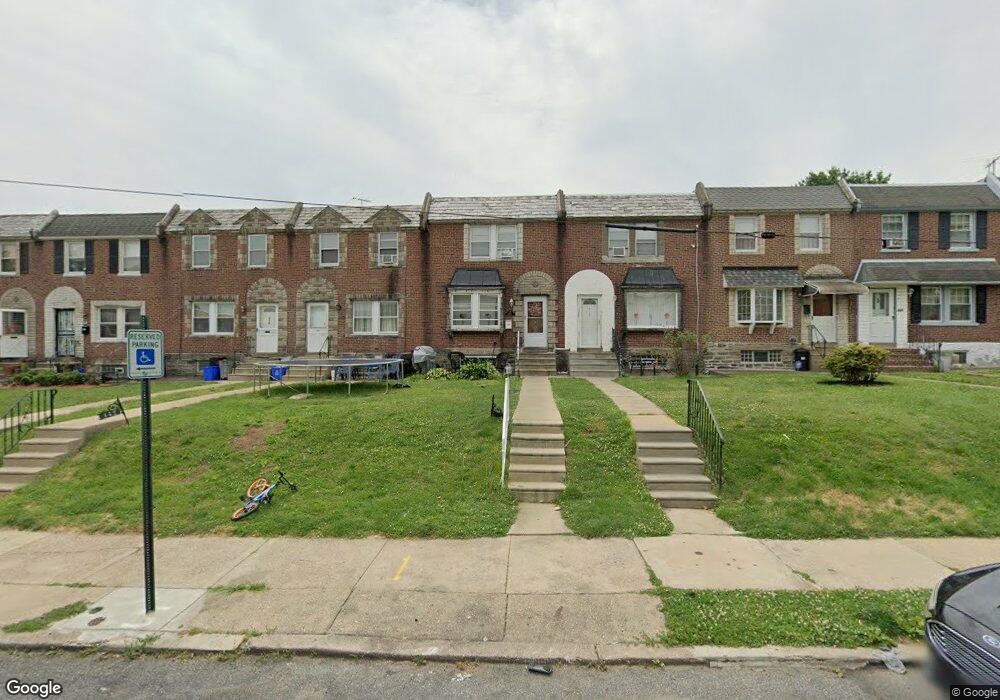
440 E Howell St Philadelphia, PA 19120
Lawncrest NeighborhoodEstimated Value: $219,631 - $234,000
3
Beds
1
Bath
1,224
Sq Ft
$186/Sq Ft
Est. Value
About This Home
This home is located at 440 E Howell St, Philadelphia, PA 19120 and is currently estimated at $228,158, approximately $186 per square foot. 440 E Howell St is a home located in Philadelphia County with nearby schools including Benjamin Franklin Elementary School, Samuel Fels High School, and Mast Community Charter Ii.
Ownership History
Date
Name
Owned For
Owner Type
Purchase Details
Closed on
Jun 16, 2006
Sold by
Andres H Joseph and Andres Mary Ann H
Bought by
Bowens Tamika
Current Estimated Value
Home Financials for this Owner
Home Financials are based on the most recent Mortgage that was taken out on this home.
Original Mortgage
$133,900
Outstanding Balance
$79,337
Interest Rate
6.71%
Mortgage Type
FHA
Estimated Equity
$148,821
Create a Home Valuation Report for This Property
The Home Valuation Report is an in-depth analysis detailing your home's value as well as a comparison with similar homes in the area
Home Values in the Area
Average Home Value in this Area
Purchase History
| Date | Buyer | Sale Price | Title Company |
|---|---|---|---|
| Bowens Tamika | $135,000 | None Available |
Source: Public Records
Mortgage History
| Date | Status | Borrower | Loan Amount |
|---|---|---|---|
| Open | Bowens Tamika | $133,900 |
Source: Public Records
Tax History Compared to Growth
Tax History
| Year | Tax Paid | Tax Assessment Tax Assessment Total Assessment is a certain percentage of the fair market value that is determined by local assessors to be the total taxable value of land and additions on the property. | Land | Improvement |
|---|---|---|---|---|
| 2025 | $2,374 | $211,500 | $42,300 | $169,200 |
| 2024 | $2,374 | $211,500 | $42,300 | $169,200 |
| 2023 | $2,374 | $169,600 | $33,920 | $135,680 |
| 2022 | $1,067 | $124,600 | $33,920 | $90,680 |
| 2021 | $1,697 | $0 | $0 | $0 |
| 2020 | $1,697 | $0 | $0 | $0 |
| 2019 | $1,628 | $0 | $0 | $0 |
| 2018 | $1,613 | $0 | $0 | $0 |
| 2017 | $1,613 | $0 | $0 | $0 |
| 2016 | $1,193 | $0 | $0 | $0 |
| 2015 | $1,142 | $0 | $0 | $0 |
| 2014 | -- | $115,200 | $31,320 | $83,880 |
| 2012 | -- | $15,456 | $2,965 | $12,491 |
Source: Public Records
Map
Nearby Homes
- 441 Van Kirk St
- 344 Van Kirk St
- 6046 Hasbrook Ave
- 307 E Cheltenham Ave
- 517 E Cheltenham Ave
- 252 Benner St
- 5815 Newtown Ave
- 407 E Sanger St Unit 9
- 5939 Malta St
- 5943 Malta St
- 5934 Palmetto St
- 561 E Cheltenham Ave
- 578 Rosalie St Unit A
- 414-16 Sanger St
- 5915 Palmetto St
- 5945 Palmetto St
- 6101 Colgate St
- 223 Stearly St
- 6143 Reach St
- 354 Devereaux Ave
- 442 E Howell St
- 438 E Howell St
- 444 E Howell St
- 436 E Howell St
- 446 E Howell St
- 434 E Howell St
- 448 E Howell St
- 432 E Howell St
- 450 E Howell St
- 430 E Howell St
- 452 E Howell St
- 428 E Howell St
- 443 Van Kirk St
- 445 Van Kirk St
- 447 Van Kirk St
- 426 E Howell St
- 439 Van Kirk St
- 449 Van Kirk St
- 451 Van Kirk St
- 437 Van Kirk St