440 Forrest Rd Azalea, OR 97410
Azalea NeighborhoodEstimated Value: $417,238 - $883,000
2
Beds
2
Baths
1,800
Sq Ft
$363/Sq Ft
Est. Value
About This Home
This home is located at 440 Forrest Rd, Azalea, OR 97410 and is currently estimated at $652,810, approximately $362 per square foot. 440 Forrest Rd is a home located in Douglas County with nearby schools including Glendale Elementary School.
Ownership History
Date
Name
Owned For
Owner Type
Purchase Details
Closed on
Oct 16, 2018
Sold by
Mclane Howard E and Mclane Toni L
Bought by
Edwards Thomas D and Edwards Lillian A
Current Estimated Value
Home Financials for this Owner
Home Financials are based on the most recent Mortgage that was taken out on this home.
Original Mortgage
$237,500
Interest Rate
4.6%
Mortgage Type
Unknown
Purchase Details
Closed on
Sep 19, 2008
Sold by
Hoff Steven P and Hoff Tamara L
Bought by
Mclane Howard E and Mclane Toni L
Create a Home Valuation Report for This Property
The Home Valuation Report is an in-depth analysis detailing your home's value as well as a comparison with similar homes in the area
Home Values in the Area
Average Home Value in this Area
Purchase History
| Date | Buyer | Sale Price | Title Company |
|---|---|---|---|
| Edwards Thomas D | $475,000 | First American Title | |
| Mclane Howard E | $441,900 | Ticor Title |
Source: Public Records
Mortgage History
| Date | Status | Borrower | Loan Amount |
|---|---|---|---|
| Closed | Edwards Thomas D | $237,500 |
Source: Public Records
Tax History Compared to Growth
Tax History
| Year | Tax Paid | Tax Assessment Tax Assessment Total Assessment is a certain percentage of the fair market value that is determined by local assessors to be the total taxable value of land and additions on the property. | Land | Improvement |
|---|---|---|---|---|
| 2025 | $2,341 | $235,203 | -- | -- |
| 2024 | $2,276 | $228,355 | -- | -- |
| 2023 | $2,213 | $221,705 | $0 | $0 |
| 2022 | $2,099 | $215,251 | $0 | $0 |
| 2021 | $2,024 | $208,983 | $0 | $0 |
| 2020 | $1,948 | $1,725 | $0 | $0 |
| 2019 | $1,912 | $196,992 | $0 | $0 |
| 2018 | $1,861 | $191,255 | $0 | $0 |
| 2017 | $1,807 | $185,635 | $0 | $0 |
| 2016 | $1,755 | $180,280 | $0 | $0 |
| 2015 | $1,702 | $175,029 | $0 | $0 |
| 2014 | $79 | $1,449 | $0 | $0 |
| 2013 | -- | $164,984 | $0 | $0 |
Source: Public Records
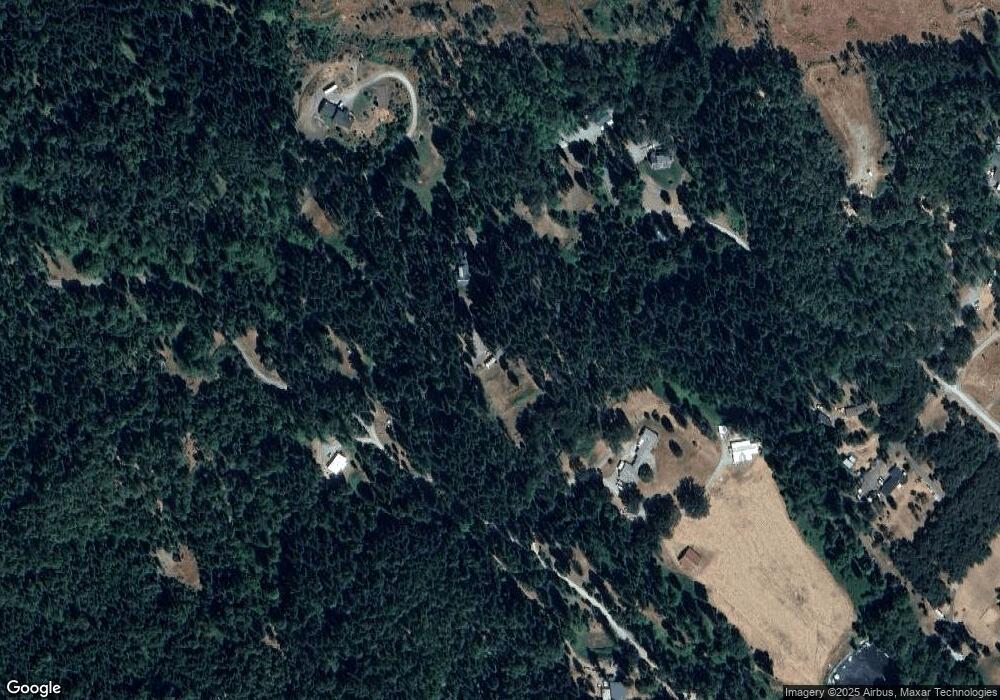
Map
Nearby Homes
- 188 Pisqually Ln
- 1104 Upper Cow Creek Rd
- 913 Starveout Creek Rd
- 1121 Yeust Rd
- 2358 Upper Cow Creek Rd
- 2128 Starveout Creek Rd
- 5230 Azalea Glen Rd
- 5230 Azalea-Glen Rd
- 3070 Ranchero Rd
- 513 Barton Rd
- 95 Barton Rd
- 6228 Upper Cow Creek Rd
- 2999 Speaker Rd
- 0 Junction Rd
- 2742 Speaker Rd
- 8108 Azalea Glen Rd
- 221 Twin Pines Dr
- 6232 Coyote Creek Rd
- 1251 Warner Rd
- 1285 N Frontage Rd
- 303 Mobley Dr
- 515 Forest Dr
- 297 Mobley Dr
- 297 Mobley Dr
- 296 Mobley Dr
- 290 Mobley Dr
- 216 Mobley Dr
- 623 Azalea Glen Rd
- 291 Mobley Dr
- 539 Azalea Glen Rd
- 581 Azalea Glen Rd
- 293 Mobley Dr
- 128 Mobley Dr
- 450 Forest Dr
- 0 S State St Unit 114860
- 0 S State St Unit 22519709
- 0 S State St Unit 15678324
- 0 S State St Unit 2 19543333
- 0 S State St Unit 15113107
- 0 S State St Unit 15257939